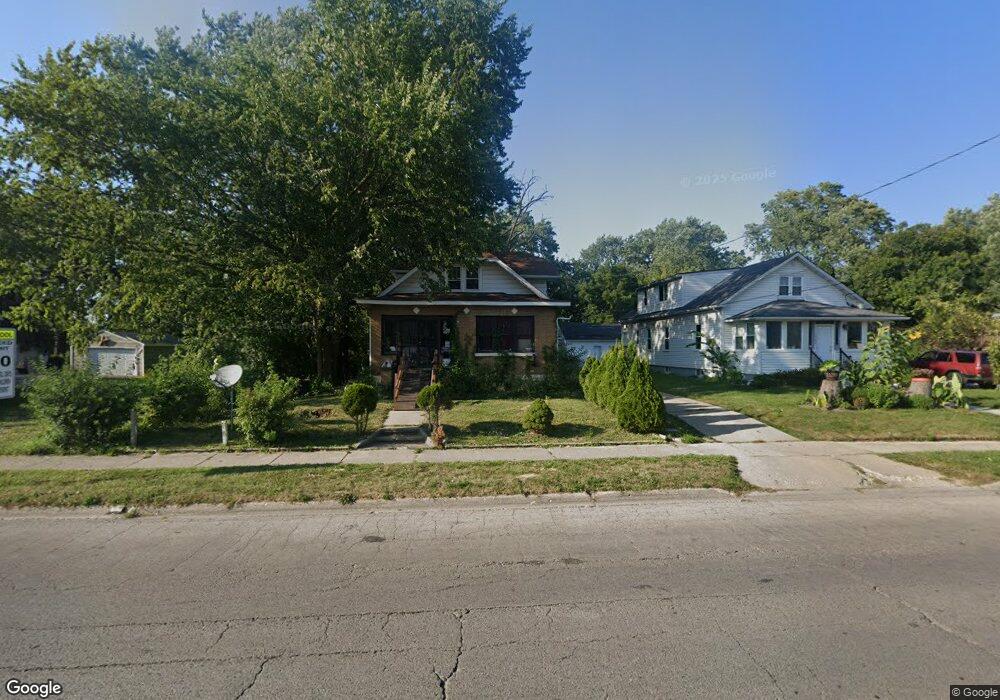
1706 10th St Waukegan, IL 60085
Lyon Acres NeighborhoodEstimated Value: $259,000 - $330,000
5
Beds
2
Baths
1,941
Sq Ft
$147/Sq Ft
Est. Value
About This Home
This home is located at 1706 10th St, Waukegan, IL 60085 and is currently estimated at $286,049, approximately $147 per square foot. 1706 10th St is a home located in Lake County with nearby schools including Lyon Magnet Elementary School, John R Lewis Middle School, and Waukegan High School.
Create a Home Valuation Report for This Property
The Home Valuation Report is an in-depth analysis detailing your home's value as well as a comparison with similar homes in the area
Home Values in the Area
Average Home Value in this Area
Tax History Compared to Growth
Tax History
| Year | Tax Paid | Tax Assessment Tax Assessment Total Assessment is a certain percentage of the fair market value that is determined by local assessors to be the total taxable value of land and additions on the property. | Land | Improvement |
|---|---|---|---|---|
| 2024 | $1,443 | $85,134 | $20,735 | $64,399 |
| 2023 | $5,672 | $76,154 | $18,548 | $57,606 |
| 2022 | $520 | $80,218 | $24,481 | $55,737 |
| 2021 | $554 | $68,199 | $21,057 | $47,142 |
| 2020 | $602 | $63,535 | $19,617 | $43,918 |
| 2019 | $653 | $58,220 | $17,976 | $40,244 |
| 2018 | $4,912 | $53,814 | $22,615 | $31,199 |
| 2017 | $4,142 | $47,610 | $20,008 | $27,602 |
| 2016 | $4,018 | $41,371 | $17,386 | $23,985 |
| 2015 | $4,025 | $37,028 | $15,561 | $21,467 |
| 2014 | $4,583 | $32,627 | $8,741 | $23,886 |
| 2012 | $5,900 | $35,349 | $9,471 | $25,878 |
Source: Public Records
Map
Nearby Homes
- 1712 11th St
- 819 S Fulton Ave
- 1511 14th St
- 1244 Victoria Ave
- 724 10th St
- 910 Cummings Ave
- 815 Prescott St
- 1210 Park Ave
- 1521 Seymour Ave
- 1101 Adams St
- 720 13th St
- 631 8th St
- 1301 Park Ave
- 842 Wadsworth Ave
- 1423 Victoria Ave
- 1102 Wadsworth Ave
- 1617 Grove Ave
- 1535 Glenn Dr
- 446 S Jackson St
- 1542 Victoria Ave