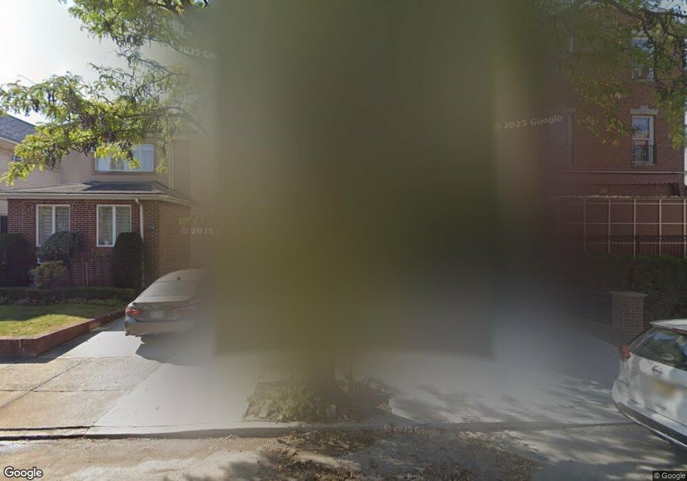
1706 47th St Brooklyn, NY 11204
Borough Park NeighborhoodEstimated Value: $1,468,000 - $4,486,000
--
Bed
--
Bath
1,666
Sq Ft
$1,437/Sq Ft
Est. Value
About This Home
This home is located at 1706 47th St, Brooklyn, NY 11204 and is currently estimated at $2,394,630, approximately $1,437 per square foot. 1706 47th St is a home located in Kings County with nearby schools including P.S./I.S. 192 Magnet School For Math And Science Inquiry, I.S. 223 The Montauk, and Franklin Delano Roosevelt High School.
Ownership History
Date
Name
Owned For
Owner Type
Purchase Details
Closed on
Jun 22, 2023
Sold by
Brodt Aharon Shulim and Brodt Hindy
Bought by
1706 47 Llc
Current Estimated Value
Purchase Details
Closed on
Feb 6, 2023
Sold by
Yehudei Dzenta and Yehudei Dzenta Inc
Bought by
Brodt Aharon Shulim and Brodt Hindy
Purchase Details
Closed on
May 28, 2015
Sold by
Kehal Kedushas Aharon Sanz Kreiz and Kehal Yesho
Bought by
Dzenta Yehudei
Create a Home Valuation Report for This Property
The Home Valuation Report is an in-depth analysis detailing your home's value as well as a comparison with similar homes in the area
Home Values in the Area
Average Home Value in this Area
Purchase History
| Date | Buyer | Sale Price | Title Company |
|---|---|---|---|
| 1706 47 Llc | -- | -- | |
| Brodt Aharon Shulim | $800,000 | -- | |
| Dzenta Yehudei | $1,350,000 | -- |
Source: Public Records
Tax History Compared to Growth
Tax History
| Year | Tax Paid | Tax Assessment Tax Assessment Total Assessment is a certain percentage of the fair market value that is determined by local assessors to be the total taxable value of land and additions on the property. | Land | Improvement |
|---|---|---|---|---|
| 2025 | $11,231 | $108,900 | $25,440 | $83,460 |
| 2024 | $11,231 | $93,120 | $25,440 | $67,680 |
| 2023 | $10,713 | $109,080 | $25,440 | $83,640 |
| 2022 | $10,531 | $89,400 | $25,440 | $63,960 |
| 2021 | $0 | $75,180 | $25,440 | $49,740 |
| 2020 | $0 | $79,440 | $25,440 | $54,000 |
| 2019 | $0 | $79,440 | $25,440 | $54,000 |
| 2018 | $0 | $43,959 | $12,916 | $31,043 |
| 2017 | $0 | $43,959 | $14,630 | $29,329 |
| 2016 | $191 | $43,627 | $16,001 | $27,626 |
| 2015 | -- | $41,158 | $21,420 | $19,738 |
| 2014 | -- | $38,830 | $22,008 | $16,822 |
Source: Public Records
Map
Nearby Homes
- 819 McDonald Ave
- 1917 51st St
- 1768 55th St
- 1772 55th St
- 755 McDonald Ave
- 751 McDonald Ave
- 5401 15th Ave
- 302 Ditmas Ave
- 1553 39th St
- 304 Ditmas Ave
- 306 Ditmas Ave
- 734 E 5th St Unit 4L
- 1551 39th St
- 1026 E 2nd St
- 702 Ocean Pkwy Unit 1B
- 311 Ditmas Ave
- 770 Ocean Pkwy Unit 4K
- 770 Ocean Pkwy Unit 6C
- 770 Ocean Pkwy Unit 2D
- 770 Ocean Pkwy Unit 3M