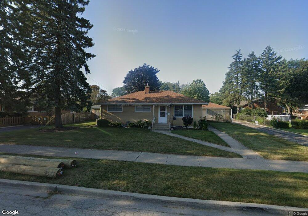
1706 9th St Waukegan, IL 60085
Lyon Acres NeighborhoodEstimated Value: $221,000 - $239,000
2
Beds
2
Baths
1,040
Sq Ft
$219/Sq Ft
Est. Value
About This Home
This home is located at 1706 9th St, Waukegan, IL 60085 and is currently estimated at $227,637, approximately $218 per square foot. 1706 9th St is a home located in Lake County with nearby schools including Lyon Magnet Elementary School, John R Lewis Middle School, and Waukegan High School.
Ownership History
Date
Name
Owned For
Owner Type
Purchase Details
Closed on
Jun 27, 2003
Sold by
Favela Jose I and Favela Maria C
Bought by
Garcia Luis R and Garcia Maria B
Current Estimated Value
Home Financials for this Owner
Home Financials are based on the most recent Mortgage that was taken out on this home.
Original Mortgage
$153,827
Outstanding Balance
$65,941
Interest Rate
5.37%
Mortgage Type
FHA
Estimated Equity
$161,696
Create a Home Valuation Report for This Property
The Home Valuation Report is an in-depth analysis detailing your home's value as well as a comparison with similar homes in the area
Home Values in the Area
Average Home Value in this Area
Purchase History
| Date | Buyer | Sale Price | Title Company |
|---|---|---|---|
| Garcia Luis R | $156,000 | First American Title Ins |
Source: Public Records
Mortgage History
| Date | Status | Borrower | Loan Amount |
|---|---|---|---|
| Open | Garcia Luis R | $153,827 |
Source: Public Records
Tax History Compared to Growth
Tax History
| Year | Tax Paid | Tax Assessment Tax Assessment Total Assessment is a certain percentage of the fair market value that is determined by local assessors to be the total taxable value of land and additions on the property. | Land | Improvement |
|---|---|---|---|---|
| 2024 | $4,152 | $58,163 | $13,453 | $44,710 |
| 2023 | $4,376 | $52,027 | $12,034 | $39,993 |
| 2022 | $4,376 | $50,766 | $11,333 | $39,433 |
| 2021 | $3,868 | $43,098 | $9,749 | $33,349 |
| 2020 | $3,871 | $40,151 | $9,082 | $31,069 |
| 2019 | $3,843 | $36,792 | $8,322 | $28,470 |
| 2018 | $3,673 | $34,792 | $10,470 | $24,322 |
| 2017 | $3,525 | $30,781 | $9,263 | $21,518 |
| 2016 | $3,206 | $26,747 | $8,049 | $18,698 |
| 2015 | $3,030 | $23,939 | $7,204 | $16,735 |
| 2014 | $3,139 | $24,088 | $7,868 | $16,220 |
| 2012 | $4,110 | $26,098 | $8,524 | $17,574 |
Source: Public Records
Map
Nearby Homes
- 819 S Fulton Ave
- 1712 11th St
- 910 Cummings Ave
- 1511 14th St
- 724 10th St
- 1244 Victoria Ave
- 815 Prescott St
- 1210 Park Ave
- 631 8th St
- 446 S Jackson St
- 842 Wadsworth Ave
- 1101 Adams St
- 1521 Seymour Ave
- 12601 W Atlantic Ave
- 2116 & 2101 Williamsburg Dr
- 1102 Wadsworth Ave
- 720 13th St
- 1301 Park Ave
- 1423 Victoria Ave
- 600 Sunderlin St