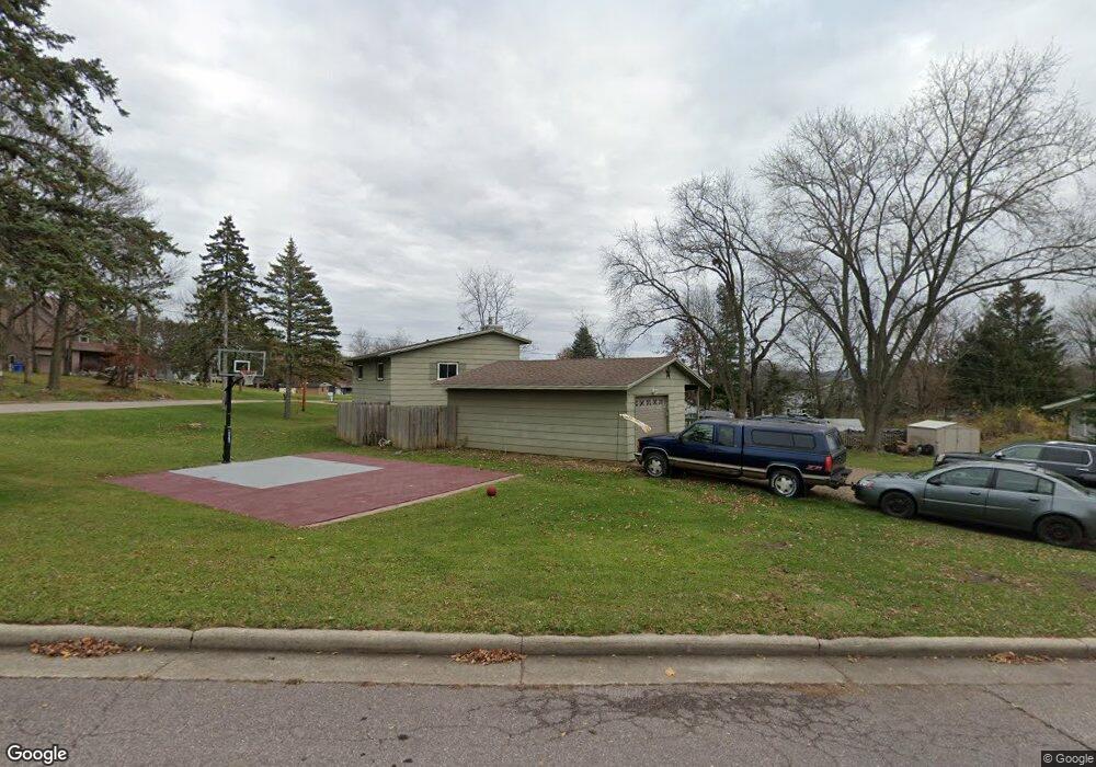
1706 Amundson Dr Baraboo, WI 53913
Estimated Value: $326,000 - $412,000
3
Beds
2
Baths
2,040
Sq Ft
$173/Sq Ft
Est. Value
About This Home
This home is located at 1706 Amundson Dr, Baraboo, WI 53913 and is currently estimated at $353,631, approximately $173 per square foot. 1706 Amundson Dr is a home located in Sauk County with nearby schools including Baraboo High School, St. Joseph Catholic School, and St. John's Lutheran School.
Ownership History
Date
Name
Owned For
Owner Type
Purchase Details
Closed on
Oct 28, 2016
Sold by
Heartland Property Rentals Llc
Bought by
Zittlow Michael Steven and Zittlow Rebecca Lynn
Current Estimated Value
Home Financials for this Owner
Home Financials are based on the most recent Mortgage that was taken out on this home.
Original Mortgage
$154,850
Outstanding Balance
$122,961
Interest Rate
3.5%
Mortgage Type
New Conventional
Estimated Equity
$230,670
Purchase Details
Closed on
Apr 29, 2016
Sold by
Kalmon Kenneth J and Kalmon Dorothy M
Bought by
Heartland Property Rentals Llc
Purchase Details
Closed on
Sep 1, 2010
Sold by
Drake Darton E and Drake Carolyn A
Bought by
Federal Home Loan Mortgage Corporation
Create a Home Valuation Report for This Property
The Home Valuation Report is an in-depth analysis detailing your home's value as well as a comparison with similar homes in the area
Home Values in the Area
Average Home Value in this Area
Purchase History
| Date | Buyer | Sale Price | Title Company |
|---|---|---|---|
| Zittlow Michael Steven | $163,000 | None Available | |
| Heartland Property Rentals Llc | -- | None Available | |
| Federal Home Loan Mortgage Corporation | -- | None Available |
Source: Public Records
Mortgage History
| Date | Status | Borrower | Loan Amount |
|---|---|---|---|
| Open | Zittlow Michael Steven | $154,850 |
Source: Public Records
Tax History
| Year | Tax Paid | Tax Assessment Tax Assessment Total Assessment is a certain percentage of the fair market value that is determined by local assessors to be the total taxable value of land and additions on the property. | Land | Improvement |
|---|---|---|---|---|
| 2024 | $52 | $231,400 | $50,600 | $180,800 |
| 2023 | $4,927 | $231,400 | $50,600 | $180,800 |
| 2022 | $4,990 | $231,400 | $50,600 | $180,800 |
| 2021 | $4,841 | $231,400 | $50,600 | $180,800 |
| 2020 | $4,702 | $186,500 | $38,000 | $148,500 |
| 2019 | $4,465 | $186,500 | $38,000 | $148,500 |
| 2018 | $4,422 | $186,500 | $38,000 | $148,500 |
| 2017 | $4,396 | $186,500 | $38,000 | $148,500 |
| 2016 | $4,285 | $186,500 | $38,000 | $148,500 |
| 2015 | $4,225 | $186,500 | $38,000 | $148,500 |
| 2014 | -- | $186,500 | $38,000 | $148,500 |
Source: Public Records
Map
Nearby Homes
- 125 Monroe Ave
- 1700 Amundson Dr
- 126 15th Ave
- 1800 Amundson Dr
- 113 Monroe Ave Unit 115
- 00 Monroe St
- 1705 Amundson Dr
- 1707 Amundson Dr
- 118 15th Ave
- 124 Monroe Ave
- 202 15th Ave
- 1801 Amundson Dr
- 1806 Amundson Dr
- 1606 Amundson Dr
- 110 15th Ave
- 1725 Oak St
- 125 15th Ave
- 1805 Amundson Dr
- 218 15th Ave
- 205 15th Ave
Your Personal Tour Guide
Ask me questions while you tour the home.