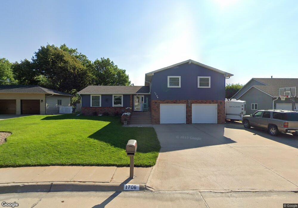
1706 Apache Ave Hastings, NE 68901
Estimated Value: $334,347 - $416,000
4
Beds
4
Baths
1,708
Sq Ft
$216/Sq Ft
Est. Value
About This Home
This home is located at 1706 Apache Ave, Hastings, NE 68901 and is currently estimated at $369,087, approximately $216 per square foot. 1706 Apache Ave is a home located in Adams County with nearby schools including Hastings Senior High School, St. Michael's Preschool & Elementary School, and Zion Lutheran School.
Ownership History
Date
Name
Owned For
Owner Type
Purchase Details
Closed on
Oct 16, 2008
Sold by
Mcdermott Dwight D and Mcdermott Susan M
Bought by
Kerr Neil A and Kerr Stacy L
Current Estimated Value
Home Financials for this Owner
Home Financials are based on the most recent Mortgage that was taken out on this home.
Original Mortgage
$136,000
Outstanding Balance
$90,089
Interest Rate
6.35%
Mortgage Type
New Conventional
Estimated Equity
$278,998
Create a Home Valuation Report for This Property
The Home Valuation Report is an in-depth analysis detailing your home's value as well as a comparison with similar homes in the area
Home Values in the Area
Average Home Value in this Area
Purchase History
| Date | Buyer | Sale Price | Title Company |
|---|---|---|---|
| Kerr Neil A | $167,400 | None Available |
Source: Public Records
Mortgage History
| Date | Status | Borrower | Loan Amount |
|---|---|---|---|
| Open | Kerr Neil A | $136,000 |
Source: Public Records
Tax History Compared to Growth
Tax History
| Year | Tax Paid | Tax Assessment Tax Assessment Total Assessment is a certain percentage of the fair market value that is determined by local assessors to be the total taxable value of land and additions on the property. | Land | Improvement |
|---|---|---|---|---|
| 2024 | $4,990 | $311,054 | $28,080 | $282,974 |
| 2023 | $5,928 | $287,265 | $28,080 | $259,185 |
| 2022 | $4,920 | $218,402 | $28,080 | $190,322 |
| 2021 | $4,738 | $216,062 | $25,740 | $190,322 |
| 2020 | $4,659 | $216,062 | $25,740 | $190,322 |
| 2019 | $4,609 | $216,062 | $25,740 | $190,322 |
| 2018 | $4,345 | $202,630 | $18,720 | $183,910 |
| 2017 | $4,265 | $199,025 | $0 | $0 |
| 2016 | $4,016 | $187,230 | $18,720 | $168,510 |
| 2011 | -- | $174,160 | $16,850 | $157,310 |
Source: Public Records
Map
Nearby Homes
- 1402 Arapahoe Ave
- 1314 N Laird Ave
- 1802 Westchester Dr
- 2708 Edgewood Ln
- 2616 Butterfoot Ln
- 1330 Heritage Dr
- 1225 Heritage Dr
- 1513 Crane Ave
- 1505 Crane Ave
- 1201 Pershing Rd
- 2330 W 11th St
- 1223 Westwood Terrace
- 1911 W 11th St
- 2501 W 10th St
- 2416 W 9th St
- 2707 W 9th St
- 1814 Boyce St
- 1108 N Baltimore Ave
- 1334 W 12th St
- 2521 Boyce St
- 1700 Apache Ave
- 1710 Apache Ave
- 1620 Apache Ave
- 1705 Apache Ave
- 1718 Apache Ave
- 1721 Apache Ave
- 1616 Apache Ave
- 1627 Apache Ave
- 1612 Apache Ave
- 1617 Apache Ave
- 1613 Apache Ave
- 2013 Crane Circle Dr
- 2016 Crane Circle Dr
- 1606 Apache Ave
- 1607 Apache Ave
- 1518 Arapahoe Ave
- 1600 Apache Ave
- 1601 Apache Ave
- 2012 Crane Circle Dr
- 1514 Arapahoe Ave