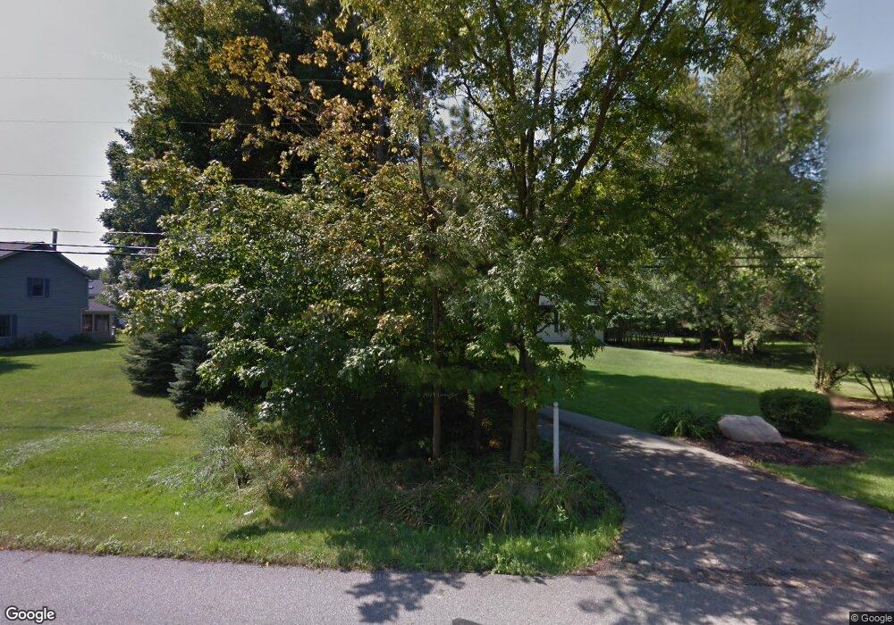
1706 Barlow Rd Hudson, OH 44236
Estimated Value: $396,558 - $423,000
2
Beds
2
Baths
2,512
Sq Ft
$163/Sq Ft
Est. Value
About This Home
This home is located at 1706 Barlow Rd, Hudson, OH 44236 and is currently estimated at $410,140, approximately $163 per square foot. 1706 Barlow Rd is a home located in Summit County with nearby schools including Ellsworth Hill Elementary School, East Woods Intermediate School, and Hudson Middle School.
Ownership History
Date
Name
Owned For
Owner Type
Purchase Details
Closed on
Dec 21, 2007
Sold by
Fannie Mae
Bought by
Hokes Joseph and Cassidy Shannon
Current Estimated Value
Home Financials for this Owner
Home Financials are based on the most recent Mortgage that was taken out on this home.
Original Mortgage
$143,450
Outstanding Balance
$90,845
Interest Rate
6.31%
Mortgage Type
Purchase Money Mortgage
Estimated Equity
$319,295
Purchase Details
Closed on
Aug 15, 2006
Sold by
Paul Vincent W
Bought by
Federal National Mortgage Association
Purchase Details
Closed on
Jul 31, 1997
Sold by
Smith Karen
Bought by
Paul Vince W and Paul Sandra L
Home Financials for this Owner
Home Financials are based on the most recent Mortgage that was taken out on this home.
Original Mortgage
$128,000
Interest Rate
7.71%
Mortgage Type
New Conventional
Create a Home Valuation Report for This Property
The Home Valuation Report is an in-depth analysis detailing your home's value as well as a comparison with similar homes in the area
Home Values in the Area
Average Home Value in this Area
Purchase History
| Date | Buyer | Sale Price | Title Company |
|---|---|---|---|
| Hokes Joseph | $151,000 | Beacon Title | |
| Federal National Mortgage Association | $152,900 | None Available | |
| Paul Vince W | $160,000 | -- |
Source: Public Records
Mortgage History
| Date | Status | Borrower | Loan Amount |
|---|---|---|---|
| Open | Hokes Joseph | $143,450 | |
| Previous Owner | Paul Vince W | $128,000 |
Source: Public Records
Tax History Compared to Growth
Tax History
| Year | Tax Paid | Tax Assessment Tax Assessment Total Assessment is a certain percentage of the fair market value that is determined by local assessors to be the total taxable value of land and additions on the property. | Land | Improvement |
|---|---|---|---|---|
| 2025 | $6,255 | $109,068 | $20,605 | $88,463 |
| 2024 | $6,255 | $109,068 | $20,605 | $88,463 |
| 2023 | $6,255 | $109,068 | $20,605 | $88,463 |
| 2022 | $5,408 | $84,641 | $15,974 | $68,667 |
| 2021 | $5,557 | $84,641 | $15,974 | $68,667 |
| 2020 | $6,099 | $84,640 | $15,970 | $68,670 |
| 2019 | $5,758 | $80,270 | $15,970 | $64,300 |
| 2018 | $5,747 | $80,270 | $15,970 | $64,300 |
| 2017 | $5,666 | $80,270 | $15,970 | $64,300 |
| 2016 | $4,342 | $66,460 | $15,180 | $51,280 |
| 2015 | $5,666 | $66,460 | $15,180 | $51,280 |
| 2014 | $5,368 | $66,460 | $15,180 | $51,280 |
| 2013 | $4,858 | $62,220 | $15,180 | $47,040 |
Source: Public Records
Map
Nearby Homes
- 1705 Barlow Rd
- 5791 Sunset Dr
- 5937 Ogilby Dr
- 5974 Anna Lee Dr
- 148 Colony Dr
- 5532 Hudson Dr
- 1620 Sapphire Dr
- 21 Keswick Dr
- 1759 E Sapphire Dr
- 94 Fox Trace Ln
- 5139 Rockport Cove
- V/L Norton Rd
- 1884 Village Ct Unit X66
- V/L Lawnmark Dr
- 35 S Hayden Pkwy
- 1529 Spruce Hill Dr
- 1664 Cypress Ct
- 4891 Cedar Crest Ln
- 4877 Cedar Crest Ln
- 1470 Mac Dr
- 1730 Barlow Rd
- 1702 Barlow Rd
- 1625 Carriage Hill Dr
- 1615 Carriage Hill Dr
- 1633 Carriage Hill Dr
- 1694 Barlow Rd
- 1603 Carriage Hill Dr
- 1715 Barlow Rd
- 1727 Barlow Rd
- 1673 Carriage Hill Dr
- 1739 Barlow Rd
- 1593 Carriage Hill Dr
- 5631 Sunset Dr
- 5621 Sunset Dr
- 1695 Barlow Rd
- 1751 Barlow Rd
- 1618 Carriage Hill Dr
- 5611 Sunset Dr
- 1612 Carriage Hill Dr
- 1624 Carriage Hill Dr