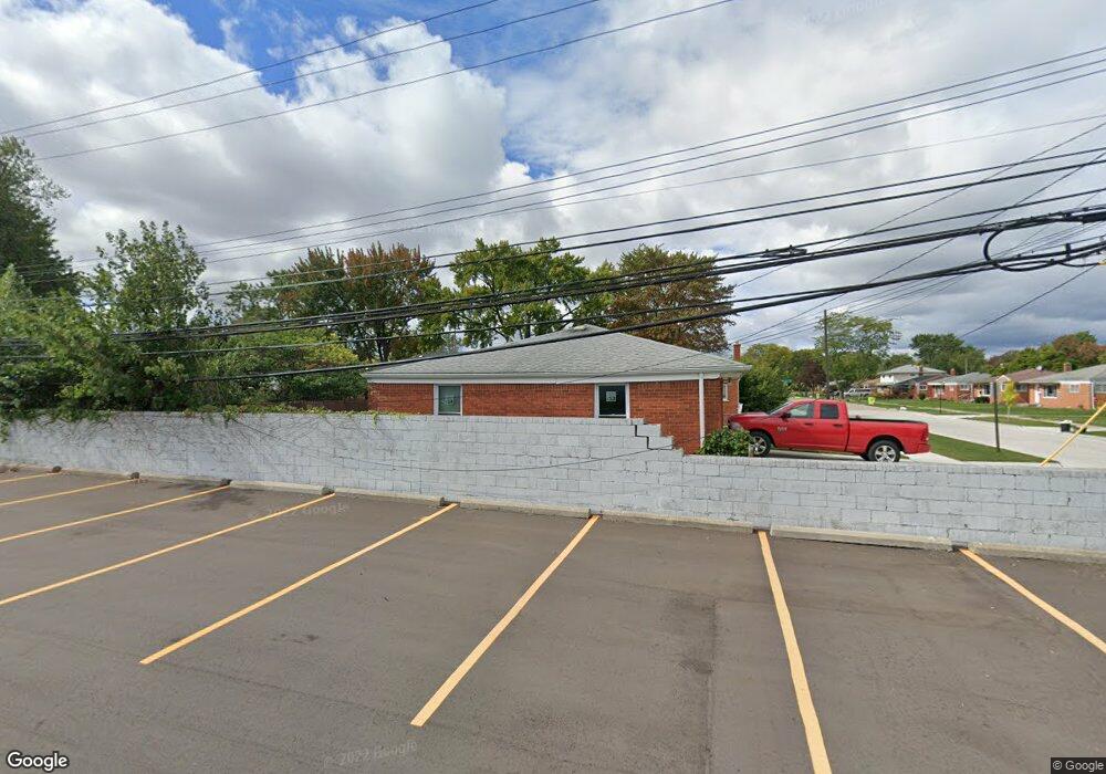
1706 Connie Ave Madison Heights, MI 48071
Estimated Value: $202,000 - $292,000
3
Beds
2
Baths
1,190
Sq Ft
$216/Sq Ft
Est. Value
About This Home
This home is located at 1706 Connie Ave, Madison Heights, MI 48071 and is currently estimated at $257,550, approximately $216 per square foot. 1706 Connie Ave is a home located in Oakland County with nearby schools including Madison High School, Four Corners Montessori Academy, and Michigan Mathematics and Science Academy Dequindre.
Ownership History
Date
Name
Owned For
Owner Type
Purchase Details
Closed on
Nov 18, 2008
Sold by
Mikhou Moied Y
Bought by
Wells Fargo Bank Na
Current Estimated Value
Purchase Details
Closed on
Oct 12, 2004
Sold by
Estate Of Elizabeth J Boston and Brauer David W
Bought by
Mikhou Moied Y
Home Financials for this Owner
Home Financials are based on the most recent Mortgage that was taken out on this home.
Original Mortgage
$124,800
Interest Rate
6.39%
Mortgage Type
Purchase Money Mortgage
Create a Home Valuation Report for This Property
The Home Valuation Report is an in-depth analysis detailing your home's value as well as a comparison with similar homes in the area
Home Values in the Area
Average Home Value in this Area
Purchase History
| Date | Buyer | Sale Price | Title Company |
|---|---|---|---|
| Wells Fargo Bank Na | $128,386 | None Available | |
| Mikhou Moied Y | $156,000 | Metropolitan Title Company |
Source: Public Records
Mortgage History
| Date | Status | Borrower | Loan Amount |
|---|---|---|---|
| Previous Owner | Mikhou Moied Y | $124,800 |
Source: Public Records
Tax History Compared to Growth
Tax History
| Year | Tax Paid | Tax Assessment Tax Assessment Total Assessment is a certain percentage of the fair market value that is determined by local assessors to be the total taxable value of land and additions on the property. | Land | Improvement |
|---|---|---|---|---|
| 2024 | $2,348 | $110,800 | $0 | $0 |
| 2023 | $2,242 | $101,710 | $0 | $0 |
| 2022 | $2,352 | $94,110 | $0 | $0 |
| 2021 | $2,293 | $85,750 | $0 | $0 |
| 2020 | $2,176 | $79,300 | $0 | $0 |
| 2019 | $2,359 | $72,950 | $0 | $0 |
| 2018 | $2,326 | $63,910 | $0 | $0 |
| 2017 | $2,257 | $63,910 | $0 | $0 |
| 2016 | $2,141 | $53,780 | $0 | $0 |
| 2015 | -- | $51,660 | $0 | $0 |
| 2014 | -- | $47,070 | $0 | $0 |
| 2011 | -- | $45,920 | $0 | $0 |
Source: Public Records
Map
Nearby Homes
- 28000 Universal Dr Unit 1
- 28012 Universal Dr
- 1580 Nottingham Dr
- 1721 Westbrook Dr
- 28230 Universal Dr Unit F69
- 28264 Universal Dr Unit 82
- 28160 Universal Dr Unit J125
- 1285 Jenifer Ave
- 1257 Jerry Ave
- 28720 Alden St
- 1374 Diana Ave
- 28767 Alden St
- 28641 Denise St
- 27365 Park Ct
- 27108 Vance St
- 28737 Denise St
- 28314 James Dr
- 28758 Herbert St
- 936 E Katherine Ave
- 1936 Roman Ct
- 1696 Connie Ave
- 1686 Connie Ave
- 28091 Dequindre Rd
- 1657 Beverly Ave
- 1667 Beverly Ave
- 1647 Beverly Ave
- 1636 Beverly Ave
- 28157 Dequindre Rd
- 28157 Dequindre Rd Unit C
- 28157 Dequindre Rd Unit Suite C
- 1637 Beverly Ave
- 1637 Connie Ave
- 1626 Beverly Ave
- 1666 Connie Ave
- 1627 Beverly Ave
- 28051 Dequindre Rd
- 1627 Connie Ave
- 1728 Jenifer Ave
- 1617 Beverly Ave
- 1706 Jenifer Ave