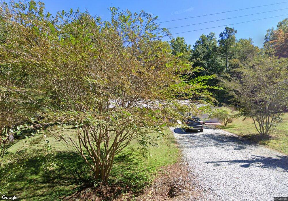
1706 Deborah Ave High Point, NC 27263
Estimated Value: $137,000 - $156,687
3
Beds
1
Bath
971
Sq Ft
$150/Sq Ft
Est. Value
About This Home
This home is located at 1706 Deborah Ave, High Point, NC 27263 and is currently estimated at $145,172, approximately $149 per square foot. 1706 Deborah Ave is a home located in Guilford County with nearby schools including Allen Jay Elementary School, Southern Guilford Middle, and Southern Guilford High School.
Ownership History
Date
Name
Owned For
Owner Type
Purchase Details
Closed on
Jun 28, 2006
Sold by
Seals Misty Horner and Smith Norman W
Bought by
Loftus Robert J and Loftus Lorrie L
Current Estimated Value
Home Financials for this Owner
Home Financials are based on the most recent Mortgage that was taken out on this home.
Original Mortgage
$75,900
Outstanding Balance
$44,861
Interest Rate
6.57%
Mortgage Type
Purchase Money Mortgage
Estimated Equity
$100,311
Purchase Details
Closed on
Aug 12, 2004
Sold by
Ellis Nancy M
Bought by
Seals Misty Homer
Home Financials for this Owner
Home Financials are based on the most recent Mortgage that was taken out on this home.
Original Mortgage
$68,000
Interest Rate
7.62%
Mortgage Type
Purchase Money Mortgage
Create a Home Valuation Report for This Property
The Home Valuation Report is an in-depth analysis detailing your home's value as well as a comparison with similar homes in the area
Home Values in the Area
Average Home Value in this Area
Purchase History
| Date | Buyer | Sale Price | Title Company |
|---|---|---|---|
| Loftus Robert J | $76,000 | None Available | |
| Seals Misty Homer | $68,000 | -- |
Source: Public Records
Mortgage History
| Date | Status | Borrower | Loan Amount |
|---|---|---|---|
| Open | Loftus Robert J | $75,900 | |
| Previous Owner | Seals Misty Homer | $68,000 |
Source: Public Records
Tax History
| Year | Tax Paid | Tax Assessment Tax Assessment Total Assessment is a certain percentage of the fair market value that is determined by local assessors to be the total taxable value of land and additions on the property. | Land | Improvement |
|---|---|---|---|---|
| 2025 | $722 | $82,300 | $28,000 | $54,300 |
| 2024 | $722 | $82,300 | $28,000 | $54,300 |
| 2023 | $722 | $82,300 | $28,000 | $54,300 |
| 2022 | $722 | $82,300 | $28,000 | $54,300 |
| 2021 | $577 | $65,800 | $20,000 | $45,800 |
| 2020 | $577 | $65,800 | $20,000 | $45,800 |
| 2019 | $577 | $65,800 | $0 | $0 |
| 2018 | $574 | $65,800 | $0 | $0 |
| 2017 | $557 | $65,800 | $0 | $0 |
| 2016 | $523 | $59,800 | $0 | $0 |
| 2015 | $526 | $59,800 | $0 | $0 |
| 2014 | $532 | $59,800 | $0 | $0 |
Source: Public Records
Map
Nearby Homes
- 1900-1922 Baker Rd
- 1501 Cox Ct
- 1105 E Springfield Rd
- 3003 #REAR Oakcrest Ave
- 928 Marlboro St
- 914 Nance Ave
- 3304 Central Ave
- 930 & 928 R1 Marlboro St
- 919 Belmont Dr
- 210 Paramount St
- 2715 Central Ave
- 709 Habersham Rd
- 717 Belmont Dr
- 921 Norton St
- 627 Spring Garden Cir
- 3630 Southpark Dr
- 404 Hickory Chapel Rd
- 609 Martha Place
- 1638 Kersey Valley Rd
- 607 Martha Place
Your Personal Tour Guide
Ask me questions while you tour the home.