1706 Deerpath Rd Franktown, CO 80116
Estimated Value: $891,000 - $1,032,000
3
Beds
2
Baths
2,851
Sq Ft
$334/Sq Ft
Est. Value
About This Home
This home is located at 1706 Deerpath Rd, Franktown, CO 80116 and is currently estimated at $953,094, approximately $334 per square foot. 1706 Deerpath Rd is a home located in Douglas County with nearby schools including Franktown Elementary School, Sagewood Middle School, and Ponderosa High School.
Ownership History
Date
Name
Owned For
Owner Type
Purchase Details
Closed on
May 31, 1990
Sold by
Verduzco Alfonso Loza and Verduzco Kartha Elizabetah
Bought by
Skowron Robert S and Skowron Rebecca Day
Current Estimated Value
Purchase Details
Closed on
Aug 1, 1979
Sold by
Unavailable
Bought by
Unavailable
Create a Home Valuation Report for This Property
The Home Valuation Report is an in-depth analysis detailing your home's value as well as a comparison with similar homes in the area
Purchase History
| Date | Buyer | Sale Price | Title Company |
|---|---|---|---|
| Skowron Robert S | $138,500 | -- | |
| Unavailable | $133,000 | -- |
Source: Public Records
Tax History
| Year | Tax Paid | Tax Assessment Tax Assessment Total Assessment is a certain percentage of the fair market value that is determined by local assessors to be the total taxable value of land and additions on the property. | Land | Improvement |
|---|---|---|---|---|
| 2025 | $4,556 | $51,860 | $23,700 | $28,160 |
| 2024 | $4,556 | $63,250 | $30,540 | $32,710 |
| 2023 | $4,607 | $63,250 | $30,540 | $32,710 |
| 2022 | $3,333 | $46,760 | $19,720 | $27,040 |
| 2021 | $3,454 | $46,760 | $19,720 | $27,040 |
| 2020 | $3,248 | $45,450 | $17,790 | $27,660 |
| 2019 | $3,263 | $45,450 | $17,790 | $27,660 |
| 2018 | $2,610 | $37,280 | $13,700 | $23,580 |
| 2017 | $3,010 | $37,280 | $13,700 | $23,580 |
| 2016 | $2,620 | $31,820 | $9,430 | $22,390 |
| 2015 | $2,680 | $31,820 | $9,430 | $22,390 |
| 2014 | $2,704 | $29,420 | $9,150 | $20,270 |
Source: Public Records
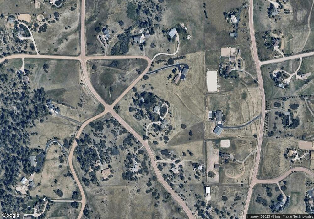
Map
Nearby Homes
- 1579 Deerpath Rd
- 2218 Deerpath Rd
- 2130 Frontier Ln
- 8788 E Tanglewood Rd
- 9212 Tanglewood Rd
- 75 Evening Hunt Rd
- 9162 Warriors Mark Dr
- 2717 Fox View Trail
- 11250 Running Kit Place
- 2705 Fox View Trail
- 11011 Sunset Oaks
- 11491 Evening Hunt Rd
- 2379 Fox View Trail
- 2741 Morning Run Ct
- 11008 Sunset Oaks Place
- 2937 Hidden Den Ct
- 11004 Sunset Oaks Place
- 2622 Fox View Trail
- 3125 Red Kit Rd
- 2568 Fox View Trail
- 1848 Columbine Dr
- 1885 Deerpath Trail
- 1695 Deerpath Rd
- 1630 Deerpath Rd
- 1906 Columbine Dr
- 1878 Columbine Dr
- 1658 Columbine Dr
- 1813 Deerpath Trail
- 1961 Deerpath Trail
- 1956 Columbine Dr
- 1721 Columbine Dr
- 1564 Deerpath Rd
- 2031 Deerpath Trail
- 1536 Columbine Dr
- 10332 Holden Cir
- 1878 Deerpath Trail
- 0 Deerpath Rd
- 1800 Ward Cir
- 1669 Columbine Dr
- 10343 Holden Cir
Your Personal Tour Guide
Ask me questions while you tour the home.