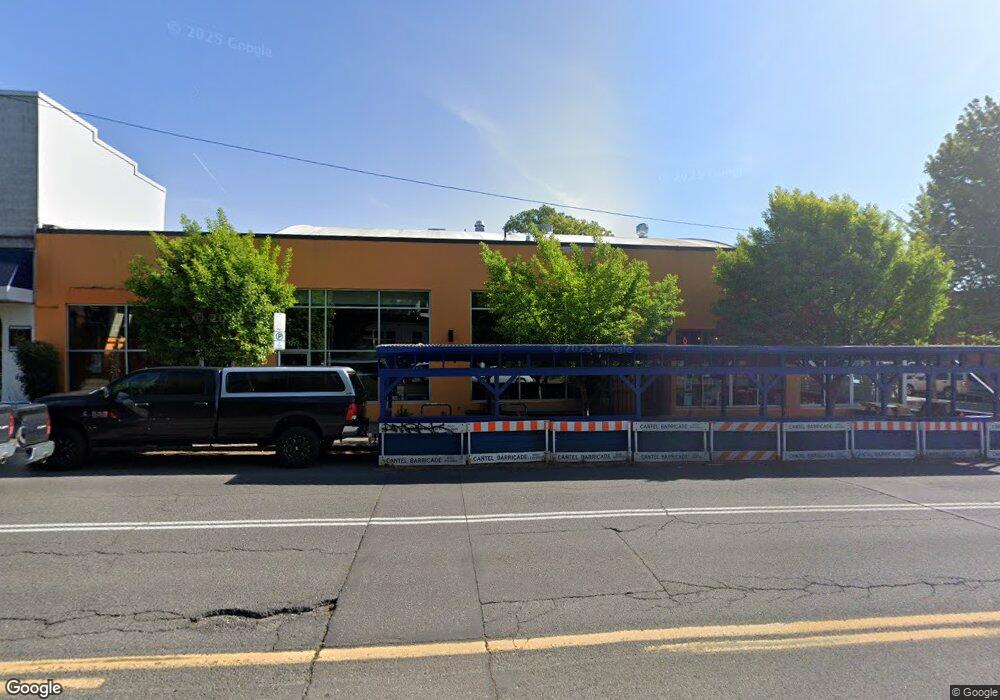
1706 E Burnside St Unit 4&Pt3 Portland, OR 97214
Buckman NeighborhoodEstimated Value: $726,217
--
Bed
--
Bath
13,165
Sq Ft
$55/Sq Ft
Est. Value
About This Home
This home is located at 1706 E Burnside St Unit 4&Pt3, Portland, OR 97214 and is currently priced at $726,217, approximately $55 per square foot. 1706 E Burnside St Unit 4&Pt3 is a home located in Multnomah County with nearby schools including Buckman Elementary School, Hosford Middle School, and Cleveland High School.
Ownership History
Date
Name
Owned For
Owner Type
Purchase Details
Closed on
Mar 5, 2013
Sold by
650 & 6527 Martin Luther King Llc
Bought by
1706 Newco Llc
Current Estimated Value
Purchase Details
Closed on
Dec 22, 2005
Sold by
Heslop Ronald D and Heslop Marylee
Bought by
6501-6527 Martin Luther King Llc
Home Financials for this Owner
Home Financials are based on the most recent Mortgage that was taken out on this home.
Original Mortgage
$570,000
Interest Rate
6.36%
Mortgage Type
Seller Take Back
Create a Home Valuation Report for This Property
The Home Valuation Report is an in-depth analysis detailing your home's value as well as a comparison with similar homes in the area
Home Values in the Area
Average Home Value in this Area
Purchase History
| Date | Buyer | Sale Price | Title Company |
|---|---|---|---|
| 1706 Newco Llc | -- | Lawyers Title | |
| 6501-6527 Martin Luther King Llc | $1,000,000 | Chicago Title Insurance Comp |
Source: Public Records
Mortgage History
| Date | Status | Borrower | Loan Amount |
|---|---|---|---|
| Previous Owner | 6501-6527 Martin Luther King Llc | $570,000 |
Source: Public Records
Tax History Compared to Growth
Tax History
| Year | Tax Paid | Tax Assessment Tax Assessment Total Assessment is a certain percentage of the fair market value that is determined by local assessors to be the total taxable value of land and additions on the property. | Land | Improvement |
|---|---|---|---|---|
| 2025 | $34,069 | $1,264,410 | -- | -- |
| 2024 | $32,845 | $1,227,590 | -- | -- |
| 2023 | $31,582 | $1,191,840 | $0 | $0 |
| 2022 | $30,898 | $1,157,130 | $0 | $0 |
| 2021 | $30,375 | $1,123,430 | $0 | $0 |
| 2020 | $27,864 | $1,090,710 | $0 | $0 |
| 2019 | $26,840 | $1,058,950 | $0 | $0 |
| 2018 | $26,050 | $1,028,110 | $0 | $0 |
| 2017 | $24,967 | $998,170 | $0 | $0 |
| 2016 | $22,849 | $969,100 | $0 | $0 |
| 2015 | $22,249 | $940,880 | $0 | $0 |
Source: Public Records
Map
Nearby Homes
- 1504 SE Ankeny St
- 536 SE 17th Ave
- 1910 SE Stark St
- 2232 SE Ankeny St Unit 2
- 2234 SE Ankeny St Unit 3
- 1626 SE Alder St
- 1705 SE Morrison St
- 2342 SE Ankeny St
- 1610 SE Morrison St Unit 1
- 1614 SE Morrison St Unit 3
- 1612 SE Morrison St Unit 2
- 1616 SE Morrison St
- 2250 NE Flanders St Unit 3
- 2036-2038 SE Morrison St
- 2507 E Burnside St
- 0 NE 9th Ave
- 1305 SE Belmont St
- 928 SE 18th Ave
- 2013 SE Yamhill St
- 722 NE Couch St
- 12 SE 17th Ave
- 21 SE 18th Ave
- 1704 SE Ankeny St Unit A
- 1704 SE Ankeny St
- 1705 E Burnside St
- 1715 E Burnside St
- 1638 SE Ankeny St
- 1735 E Burnside St
- 1628 SE Ankeny St
- 124 SE 17th Ave
- 15 NE 18thcontract
- 1808 SE Ankeny St
- 123 SE 17th Ave
- 23 NE 18th Ave
- 1705 SE Ash St
- 1715 SE Ash St
- 127 SE 17th Ave
- 30 NE 17th Ave
- 30 NE 17th Ave
- 0 SE 18th Ave