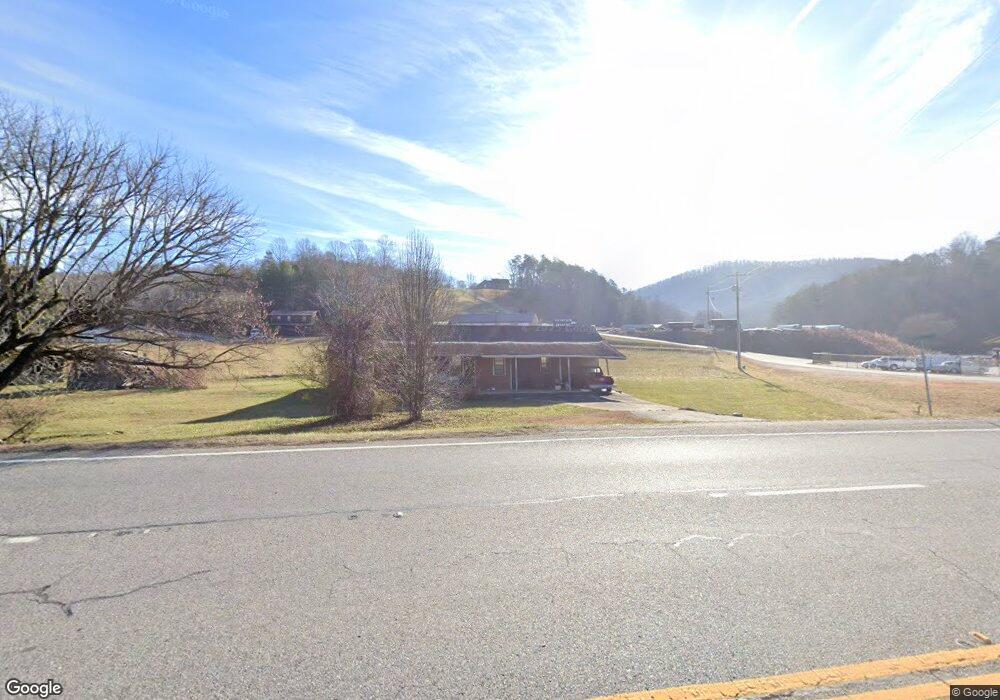
1706 Highway 515 E Blairsville, GA 30512
Estimated Value: $273,000 - $361,000
3
Beds
2
Baths
1,480
Sq Ft
$219/Sq Ft
Est. Value
About This Home
This home is located at 1706 Highway 515 E, Blairsville, GA 30512 and is currently estimated at $323,572, approximately $218 per square foot. 1706 Highway 515 E is a home with nearby schools including Union County Primary School, Union County Elementary School, and Union County Middle School.
Ownership History
Date
Name
Owned For
Owner Type
Purchase Details
Closed on
Mar 14, 2025
Sold by
Watkins Rich Mabel
Bought by
Mep Capital Group Llc
Current Estimated Value
Home Financials for this Owner
Home Financials are based on the most recent Mortgage that was taken out on this home.
Original Mortgage
$240,000
Outstanding Balance
$239,532
Interest Rate
6.87%
Mortgage Type
New Conventional
Estimated Equity
$84,040
Purchase Details
Closed on
Jun 29, 1992
Bought by
Rich Mabel
Create a Home Valuation Report for This Property
The Home Valuation Report is an in-depth analysis detailing your home's value as well as a comparison with similar homes in the area
Home Values in the Area
Average Home Value in this Area
Purchase History
| Date | Buyer | Sale Price | Title Company |
|---|---|---|---|
| Mep Capital Group Llc | $325,000 | -- | |
| Rich Mabel | -- | -- |
Source: Public Records
Mortgage History
| Date | Status | Borrower | Loan Amount |
|---|---|---|---|
| Open | Mep Capital Group Llc | $240,000 |
Source: Public Records
Tax History Compared to Growth
Tax History
| Year | Tax Paid | Tax Assessment Tax Assessment Total Assessment is a certain percentage of the fair market value that is determined by local assessors to be the total taxable value of land and additions on the property. | Land | Improvement |
|---|---|---|---|---|
| 2024 | $668 | $64,400 | $20,440 | $43,960 |
| 2023 | $762 | $64,960 | $20,440 | $44,520 |
| 2022 | $621 | $54,320 | $18,920 | $35,400 |
| 2021 | $632 | $47,840 | $18,920 | $28,920 |
| 2020 | $563 | $37,490 | $15,456 | $22,034 |
| 2019 | $528 | $37,490 | $15,456 | $22,034 |
| 2018 | $659 | $37,490 | $15,456 | $22,034 |
| 2017 | $518 | $37,490 | $15,456 | $22,034 |
| 2016 | $518 | $37,490 | $15,456 | $22,034 |
| 2015 | $521 | $37,490 | $15,456 | $22,034 |
| 2013 | -- | $37,490 | $15,456 | $22,034 |
Source: Public Records
Map
Nearby Homes
- 8 Firefly Ridge Rd
- 64 Town View Cir
- 534 Doc Thomas Ridge Rd
- 34 Travadens Way
- 3 A Moss Cove Rd
- L 48C Byron St
- 94 Butternut Creek Rd
- 43 Diane St
- 9.36A Hwy 515 Thomas Cir
- 303 Butternut Creek Rd
- 1837 Deep South Farm Rd
- na Aj's Holler
- 1063 Summit Way
- Lot 149 Summit Way
- 288 Kimsey St
- 43 Little Beasley
- LOT 112 Natalie Ln
- 54 Four Seasons Landing
- 517 Mountain Top Rd
- LOT 54 Sunny View Dr
- 1760 Highway 515 E
- 0 Robert Levell Rd Unit 2 AC 7541592
- 0 Robert Levell Rd Unit 2 AC
- 1184 Windy Hill Rd
- 1170 Windy Hill Rd
- 360 Watkins Rd
- 99 Robert Lovell Dr
- 71 Watkins Rd
- 102 Robert Lovell Dr
- 77 Patterson Dr
- 1065 Windy Hill Rd
- 413 Dean Gap Rd
- 0 Highway 515 Watkins Unit 3046658
- 1914 Highway 515 E
- 1914 Highway 515 E
- 116 Bridges Murray Dr
- 89 Nicolas Ln
- 217 Butternut Farm Rd
- 138 Watkins Rd
- 140 Moonlight Ln