1706 Old Cartersville Rd Unit TRACT IIB Dallas, GA 30132
East Paulding County NeighborhoodEstimated Value: $508,000 - $726,195
6
Beds
6
Baths
3,469
Sq Ft
$188/Sq Ft
Est. Value
About This Home
This home is located at 1706 Old Cartersville Rd Unit TRACT IIB, Dallas, GA 30132 and is currently estimated at $650,549, approximately $187 per square foot. 1706 Old Cartersville Rd Unit TRACT IIB is a home located in Paulding County with nearby schools including Northside Elementary School, Herschel Jones Middle School, and North Paulding High School.
Ownership History
Date
Name
Owned For
Owner Type
Purchase Details
Closed on
Jul 27, 2021
Sold by
Strother William Gary
Bought by
Strother William Gary and Strother Rosana Elizabeth
Current Estimated Value
Home Financials for this Owner
Home Financials are based on the most recent Mortgage that was taken out on this home.
Original Mortgage
$548,250
Outstanding Balance
$498,529
Interest Rate
2.9%
Mortgage Type
New Conventional
Estimated Equity
$152,020
Purchase Details
Closed on
Oct 22, 2002
Sold by
Facemyer James C and Facemyer Ruth V
Bought by
Facemyer James C
Home Financials for this Owner
Home Financials are based on the most recent Mortgage that was taken out on this home.
Original Mortgage
$225,000
Interest Rate
6.01%
Mortgage Type
New Conventional
Create a Home Valuation Report for This Property
The Home Valuation Report is an in-depth analysis detailing your home's value as well as a comparison with similar homes in the area
Home Values in the Area
Average Home Value in this Area
Purchase History
| Date | Buyer | Sale Price | Title Company |
|---|---|---|---|
| Strother William Gary | -- | -- | |
| Strother William Gary | $580,000 | -- | |
| Facemyer James C | -- | -- |
Source: Public Records
Mortgage History
| Date | Status | Borrower | Loan Amount |
|---|---|---|---|
| Open | Strother William Gary | $548,250 | |
| Closed | Strother William Gary | $548,250 | |
| Previous Owner | Facemyer James C | $225,000 |
Source: Public Records
Tax History Compared to Growth
Tax History
| Year | Tax Paid | Tax Assessment Tax Assessment Total Assessment is a certain percentage of the fair market value that is determined by local assessors to be the total taxable value of land and additions on the property. | Land | Improvement |
|---|---|---|---|---|
| 2024 | $1,912 | $274,096 | $33,520 | $240,576 |
| 2023 | $4,429 | $265,648 | $32,680 | $232,968 |
| 2022 | $3,867 | $245,680 | $25,960 | $219,720 |
| 2021 | $5,456 | $189,620 | $21,960 | $167,660 |
| 2020 | $5,098 | $173,504 | $21,960 | $151,544 |
| 2019 | $5,009 | $168,112 | $20,920 | $147,192 |
| 2018 | $4,974 | $165,088 | $16,920 | $148,168 |
| 2017 | $5,312 | $175,736 | $23,720 | $152,016 |
Source: Public Records
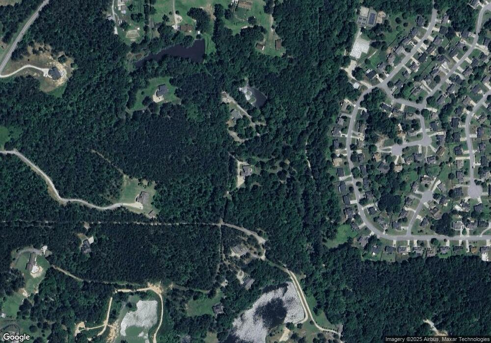
Map
Nearby Homes
- 74 Riders Ridge
- 16 Riders Ridge
- The McGinnis Plan at Jones Ridge
- The Langford Plan at Jones Ridge
- The Ellijay Plan at Jones Ridge
- The Palmer Plan at Jones Ridge
- The James Plan at Jones Ridge
- The Lancaster Plan at Jones Ridge
- The Avery Plan at Jones Ridge
- 70 Stallion Run
- 443 Brooks Rd
- 427 Wagon Trail Cir
- 272 Kades Cove Dr
- 18 Mountain Ct
- 181 Beckett Dr
- 89 Dundee Crossing
- 38 Kelso Way
- 000 Westminster Way
- 214 River Run Dr
- 214 River Run Dr Unit 83
- 1706 Old Cartersville Rd
- 1710 Old Cartersville Rd
- 322 Saddle Brooke Dr
- 352 Saddle Brooke Dr
- 352 Saddle Brooke Dr Unit 80
- 296 Saddle Brooke Dr
- 382 Saddle Brooke Dr
- 270 Saddle Brooke Dr
- 240 Saddle Brooke Dr
- 412 Saddle Brooke Dr
- 1498 Old Cartersville Rd
- 1712 Old Cartersville Rd
- 440 Saddle Brooke Dr
- 190 Saddle Brooke Dr
- 319 Saddle Brooke Dr
- 279 Saddle Brooke Dr
- 353 Saddle Brooke Dr
- 466 Saddle Brooke Dr
- 383 Saddle Brooke Dr
- 247 Saddle Brooke Dr