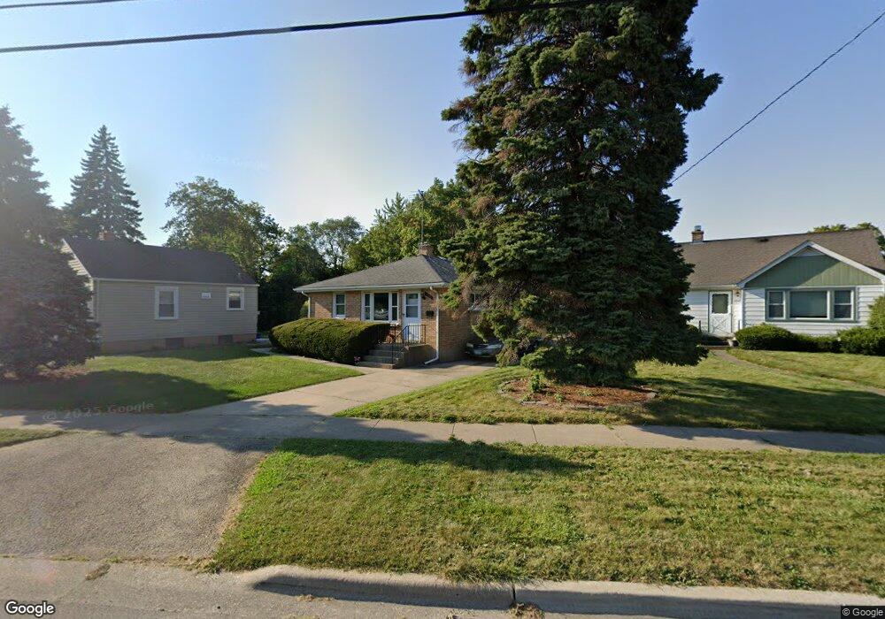
1706 W Dugdale Rd Waukegan, IL 60085
Lyon Acres NeighborhoodEstimated Value: $177,000 - $210,000
3
Beds
1
Bath
936
Sq Ft
$215/Sq Ft
Est. Value
About This Home
This home is located at 1706 W Dugdale Rd, Waukegan, IL 60085 and is currently estimated at $201,406, approximately $215 per square foot. 1706 W Dugdale Rd is a home located in Lake County with nearby schools including Lyon Magnet Elementary School, John R Lewis Middle School, and Waukegan High School.
Ownership History
Date
Name
Owned For
Owner Type
Purchase Details
Closed on
Apr 27, 2018
Sold by
Urban Lynnaue E and Mccollum Declaration O Elsie V
Bought by
Urban Lynnaue E
Current Estimated Value
Purchase Details
Closed on
Apr 16, 2013
Sold by
Mccollum Elsie V and Urban Lynnaue E
Bought by
Urban Lynnaue E and Mccollum Declaration O Elsie V
Purchase Details
Closed on
Oct 7, 1994
Sold by
Mccollum Elsie V
Bought by
Mccollum Elsie V and Urban Lynnaue E
Create a Home Valuation Report for This Property
The Home Valuation Report is an in-depth analysis detailing your home's value as well as a comparison with similar homes in the area
Home Values in the Area
Average Home Value in this Area
Purchase History
| Date | Buyer | Sale Price | Title Company |
|---|---|---|---|
| Urban Lynnaue E | $105,000 | First American Title | |
| Urban Lynnaue E | -- | None Available | |
| Mccollum Elsie V | -- | -- |
Source: Public Records
Tax History Compared to Growth
Tax History
| Year | Tax Paid | Tax Assessment Tax Assessment Total Assessment is a certain percentage of the fair market value that is determined by local assessors to be the total taxable value of land and additions on the property. | Land | Improvement |
|---|---|---|---|---|
| 2024 | $4,286 | $50,813 | $8,747 | $42,066 |
| 2023 | $4,286 | $45,454 | $7,825 | $37,629 |
| 2022 | $4,286 | $43,840 | $6,947 | $36,893 |
| 2021 | $3,876 | $37,179 | $5,975 | $31,204 |
| 2020 | $3,926 | $34,636 | $5,566 | $29,070 |
| 2019 | $3,951 | $31,738 | $5,100 | $26,638 |
| 2018 | $2,459 | $29,529 | $6,418 | $23,111 |
| 2017 | $1,005 | $26,125 | $5,678 | $20,447 |
| 2016 | $1,084 | $22,702 | $4,934 | $17,768 |
| 2015 | $1,185 | $20,319 | $4,416 | $15,903 |
| 2014 | $1,188 | $18,015 | $4,487 | $13,528 |
| 2012 | $1,886 | $19,517 | $4,861 | $14,656 |
Source: Public Records
Map
Nearby Homes
- 819 S Fulton Ave
- 1712 11th St
- 910 Cummings Ave
- 446 S Jackson St
- 12601 W Atlantic Ave
- 2116 & 2101 Williamsburg Dr
- 815 Prescott St
- 600 Sunderlin St
- 724 10th St
- 631 8th St
- 1521 Catalpa Ave
- 49 S Lewis Ave
- 842 Wadsworth Ave
- 408 Besley Place
- 304 Powell Ave
- 522 George Ave
- 305 Besley Place
- 515 George Ave
- 1244 Victoria Ave
- 1101 Adams St
- 1710 W Dugdale Rd
- 1702 W Dugdale Rd
- 1714 W Dugdale Rd
- 674 S Fulton Ave
- 1718 W Dugdale Rd
- 670 S Fulton Ave
- 1622 W Dugdale Rd
- 681 S Elmwood Ave
- 666 S Fulton Ave
- 677 S Elmwood Ave
- 1623 W Dugdale Rd
- 1722 W Dugdale Rd
- 683 S Elmwood Ave
- 685 S Elmwood Ave
- 673 S Elmwood Ave
- 1618 W Dugdale Rd
- 1619 W Dugdale Rd
- 1701 W Dugdale Rd
- 669 S Elmwood Ave
- 1705 W Dugdale Rd