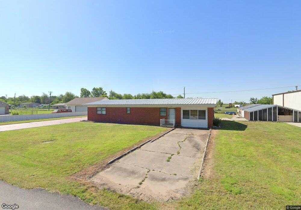
17064 Darren Ave El Reno, OK 73036
Estimated Value: $141,000 - $192,000
2
Beds
1
Bath
1,647
Sq Ft
$105/Sq Ft
Est. Value
About This Home
This home is located at 17064 Darren Ave, El Reno, OK 73036 and is currently estimated at $173,537, approximately $105 per square foot. 17064 Darren Ave is a home located in Canadian County with nearby schools including Banner School.
Ownership History
Date
Name
Owned For
Owner Type
Purchase Details
Closed on
Dec 15, 2020
Sold by
Mitchell Susan D and Nault Walter
Bought by
Penick Lee T and Penick Glenna L
Current Estimated Value
Purchase Details
Closed on
May 4, 2017
Sold by
The United States Of America
Bought by
Mitchell Susan D
Purchase Details
Closed on
Dec 15, 1998
Sold by
Lair,Sylvan G Revoc Trust
Bought by
Vance Thomas L and Vance Allie I
Purchase Details
Closed on
Dec 23, 1992
Sold by
Lair Sylvan G
Purchase Details
Closed on
Jun 14, 1991
Sold by
Lair Samuel Lee
Purchase Details
Closed on
Feb 14, 1990
Create a Home Valuation Report for This Property
The Home Valuation Report is an in-depth analysis detailing your home's value as well as a comparison with similar homes in the area
Home Values in the Area
Average Home Value in this Area
Purchase History
| Date | Buyer | Sale Price | Title Company |
|---|---|---|---|
| Penick Lee T | $110,000 | Firstitle & Abstract Svcs Ll | |
| Mitchell Susan D | $50,000 | Buffalo Land Title | |
| Vance Thomas L | $76,000 | -- | |
| -- | -- | -- | |
| -- | -- | -- | |
| -- | -- | -- |
Source: Public Records
Tax History Compared to Growth
Tax History
| Year | Tax Paid | Tax Assessment Tax Assessment Total Assessment is a certain percentage of the fair market value that is determined by local assessors to be the total taxable value of land and additions on the property. | Land | Improvement |
|---|---|---|---|---|
| 2024 | $988 | $13,949 | $420 | $13,529 |
| 2023 | $988 | $13,949 | $453 | $13,496 |
| 2022 | $997 | $13,949 | $563 | $13,386 |
| 2021 | $1,002 | $13,949 | $600 | $13,349 |
| 2020 | $981 | $13,835 | $600 | $13,235 |
| 2019 | $955 | $13,432 | $600 | $12,832 |
| 2018 | $939 | $13,041 | $600 | $12,441 |
| 2017 | $1,039 | $13,224 | $600 | $12,624 |
| 2016 | $910 | $12,409 | $600 | $11,809 |
| 2015 | $733 | $11,255 | $600 | $10,655 |
| 2014 | $733 | $10,928 | $600 | $10,328 |
Source: Public Records
Map
Nearby Homes
- 11020 N Banner Rd
- 3501 Manning Farms Blvd
- 4160 N Gregory Rd
- 8592 Beth Ln
- 8652 Beth Ln
- 4115 S Manning Rd
- 8384 Rip Way
- 8664 Rip Way
- 8634 Rip Way
- 8604 Rip Way
- 8454 Rip Way
- 8574 Rip Way
- 7145 S Manning Rd
- 3550 N Manning Rd
- 4747 Dutton Cir
- 8626 Kayce St
- 8545 Kayce St
- 8625 Kayce St
- 8655 Kayce St
- 8595 Kayce St
- 17088 Darren Ave
- 17043 Darren Ave
- 17032 Darren Ave
- 17067 Darren Ave
- 17103 Darren Ave
- 17021 Darren Ave
- 3905 N Banner Rd
- 3905 N Banner Rd
- 17048 White St
- 3855 N Banner Rd
- 17127 Darren Ave
- 4065 N Banner Rd
- 17164 Darren Ave
- 17143 Darren Ave
- 17051 White St
- 3805 N Banner Rd
- 4115 N Banner Rd
- 17183 Darren Ave
- 9225 Us Highway 66 E
- 4123 N Banner Rd