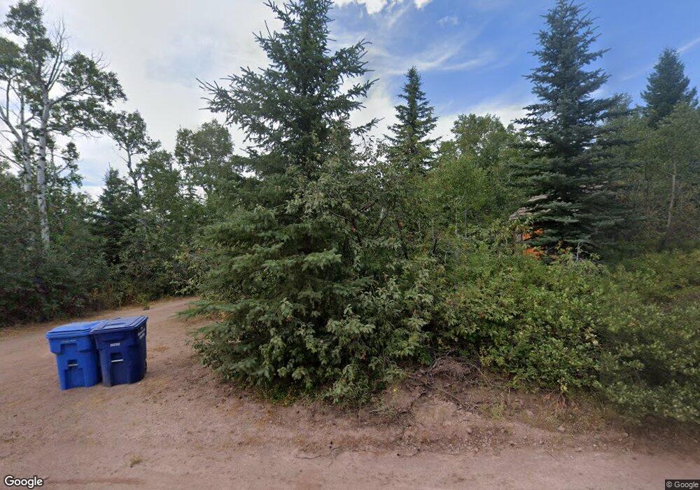
1707 Aspen Heights Dr Ashton, ID 83420
Estimated Value: $509,218 - $901,000
3
Beds
2
Baths
2,136
Sq Ft
$341/Sq Ft
Est. Value
About This Home
This home is located at 1707 Aspen Heights Dr, Ashton, ID 83420 and is currently estimated at $727,805, approximately $340 per square foot. 1707 Aspen Heights Dr is a home located in Fremont County with nearby schools including Ashton Elementary School and North Fremont Junior/Senior High School.
Ownership History
Date
Name
Owned For
Owner Type
Purchase Details
Closed on
Nov 6, 2023
Sold by
Roberts Stephen B
Bought by
Roberts-Ashton Llc
Current Estimated Value
Purchase Details
Closed on
Jul 11, 2014
Sold by
Roberts Katie V and Roberts Stephen B
Bought by
Roberts Stephen B
Purchase Details
Closed on
Mar 12, 2007
Sold by
Roberts Stephen B
Bought by
Roberts Stephen B
Purchase Details
Closed on
Jul 27, 2006
Sold by
Roberts Katie and Roberts Stephen R
Bought by
Roberts Stephen R
Home Financials for this Owner
Home Financials are based on the most recent Mortgage that was taken out on this home.
Original Mortgage
$161,500
Interest Rate
6.57%
Mortgage Type
New Conventional
Create a Home Valuation Report for This Property
The Home Valuation Report is an in-depth analysis detailing your home's value as well as a comparison with similar homes in the area
Home Values in the Area
Average Home Value in this Area
Purchase History
| Date | Buyer | Sale Price | Title Company |
|---|---|---|---|
| Roberts-Ashton Llc | -- | None Listed On Document | |
| Roberts Stephen B | -- | First American Title | |
| Roberts Stephen B | -- | -- | |
| Roberts Stephen R | -- | -- | |
| Roberts Stephens B | -- | -- |
Source: Public Records
Mortgage History
| Date | Status | Borrower | Loan Amount |
|---|---|---|---|
| Previous Owner | Roberts Stephen R | $161,500 |
Source: Public Records
Tax History Compared to Growth
Tax History
| Year | Tax Paid | Tax Assessment Tax Assessment Total Assessment is a certain percentage of the fair market value that is determined by local assessors to be the total taxable value of land and additions on the property. | Land | Improvement |
|---|---|---|---|---|
| 2025 | $1,744 | $414,524 | $104,250 | $310,274 |
| 2024 | $1,744 | $397,909 | $104,250 | $293,659 |
| 2023 | $1,128 | $272,909 | $104,250 | $168,659 |
| 2022 | $1,079 | $143,410 | $31,545 | $111,865 |
| 2021 | $948 | $91,232 | $30,235 | $60,997 |
| 2020 | $912 | $87,683 | $30,235 | $57,448 |
| 2019 | $895 | $86,958 | $30,235 | $56,723 |
| 2018 | $913 | $84,148 | $30,235 | $53,913 |
| 2017 | $10 | $81,134 | $29,328 | $51,806 |
| 2016 | $992 | $81,134 | $29,328 | $51,806 |
| 2015 | $1,266 | $156,941 | $0 | $0 |
| 2014 | $786 | $80,634 | $0 | $0 |
| 2013 | $786 | $80,634 | $0 | $0 |
Source: Public Records
Map
Nearby Homes
- 1703 Mountain Laurel Dr
- TBD Aspen Heights Dr
- 1640 Ashton Hill Loop
- 1635 W Ashton Hill Loop
- TBD Fishermans Dr
- TBD Marysville Hill Rd
- 3656 Fishermans Dr
- 1413 U S 20
- 4373 Hannah's Crossing
- 1542 W Rim Loop
- 1550 W Rim Loop
- 1550 E Rim Loop Rd
- 1560 E Rim Loop Rd
- 540 N 4th St Unit 4
- 540 N 4th St Unit 2
- 540 N 4th St Unit 3
- 137 Spruce St
- TBD Annies Landing
- 885 Maple St
- 1331 N 3687 E
- 1705 Aspen Heights Dr
- 1711 W Aspen Heights Dr
- 1711 Aspen Heights Dr
- 1713 Mountain Laurel Dr
- 1709 Mountain Maple Dr
- 1715 Maple Leaf Dr
- 1715 Mountain Maple Ln
- 1704 Aspen Heights Dr
- 1699 E Aspen Heights Dr
- 1704 Mountain Laurel Dr
- 1709 Mountain Maple Ln
- 1693 E Aspen Heights Dr
- 1694 E Aspen Heights Dr
- 1695 E Aspen Heights Dr
- 1694 Aspen Heights Dr
- 1689 E Aspen Heights Dr Unit 10
- 1689 E Aspen Heights Dr
- 1690 E Aspen Heights Dr
- 1699 Mountain Laurel Dr
- 000 Mountain Laurel Dr
