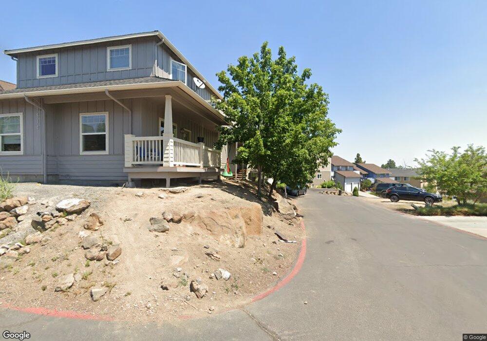
1707 NE Lotus Dr Bend, OR 97701
Mountain View NeighborhoodEstimated Value: $706,000 - $812,000
6
Beds
4
Baths
2,686
Sq Ft
$277/Sq Ft
Est. Value
About This Home
This home is located at 1707 NE Lotus Dr, Bend, OR 97701 and is currently estimated at $745,025, approximately $277 per square foot. 1707 NE Lotus Dr is a home located in Deschutes County with nearby schools including Juniper Elementary School, Bend Senior High School, and Eastmont Community School.
Ownership History
Date
Name
Owned For
Owner Type
Purchase Details
Closed on
Apr 28, 2015
Sold by
Vancise Glenn
Bought by
Basking Ridge Investments Llc
Current Estimated Value
Purchase Details
Closed on
Oct 12, 2004
Sold by
Vanvancise Lynn Van
Bought by
Vancise Glenn
Home Financials for this Owner
Home Financials are based on the most recent Mortgage that was taken out on this home.
Original Mortgage
$82,550
Interest Rate
5.72%
Mortgage Type
New Conventional
Create a Home Valuation Report for This Property
The Home Valuation Report is an in-depth analysis detailing your home's value as well as a comparison with similar homes in the area
Home Values in the Area
Average Home Value in this Area
Purchase History
| Date | Buyer | Sale Price | Title Company |
|---|---|---|---|
| Basking Ridge Investments Llc | -- | None Available | |
| Vancise Glenn | -- | Western Title & Escrow Co |
Source: Public Records
Mortgage History
| Date | Status | Borrower | Loan Amount |
|---|---|---|---|
| Previous Owner | Vancise Glenn | $82,550 |
Source: Public Records
Tax History Compared to Growth
Tax History
| Year | Tax Paid | Tax Assessment Tax Assessment Total Assessment is a certain percentage of the fair market value that is determined by local assessors to be the total taxable value of land and additions on the property. | Land | Improvement |
|---|---|---|---|---|
| 2025 | $5,484 | $324,540 | -- | -- |
| 2024 | $5,276 | $315,090 | -- | -- |
| 2023 | $4,891 | $305,920 | $0 | $0 |
| 2022 | $4,563 | $288,360 | $0 | $0 |
| 2021 | $4,570 | $279,970 | $0 | $0 |
| 2020 | $4,335 | $279,970 | $0 | $0 |
| 2019 | $4,215 | $271,820 | $0 | $0 |
| 2018 | $4,096 | $263,910 | $0 | $0 |
| 2017 | $3,976 | $256,230 | $0 | $0 |
| 2016 | $3,818 | $250,490 | $0 | $0 |
| 2015 | $3,712 | $243,200 | $0 | $0 |
| 2014 | -- | $236,120 | $0 | $0 |
Source: Public Records
Map
Nearby Homes
- 1687 NE Lotus Dr
- 1419 NE Lucinda Ct
- 1767 NE Lotus Dr Unit 1 and 2
- 1072 NE Parkview Ct
- 1622 NE Parkridge Dr
- 1630 NE 13th St
- 1848 NE 14th St
- 2025 NE Neil Way
- 2011 NE Neil Way
- 2026 NE Neil Way
- 2101 NE Holliday Ave
- 1333 NE Dempsey Dr
- 1401 NE 10th St
- 970 NE Norton Ave Unit Lot 7
- 940 NE Purcell Blvd
- 1532 NE 9th St
- 940 NE Paula Dr Unit 21
- 2109 NE 11th Place
- 717 NE Olney Ct
- 2170 NE 8th St
- 1510 NE Fj McClean Ct
- 1510 NE Frank McClean Ct
- 1510 NE F J McClean Ct
- 1514 NE F J McClean Ct
- 1514 NE Frank McClean Ct
- 1697 NE Lotus Dr
- 1518 NE Frank McClean Ct
- 1710 NE Lotus Dr
- 1710 NE Lotus Dr Unit A&B
- 1696 NE Lotus Dr Unit 1&2
- 1696 NE Lotus Dr Unit 65
- 1696 NE Lotus Dr Unit 64
- 1696 NE Lotus Dr
- 1693 NE Lotus Dr
- 1511 NE F J McClean Ct
- 1714 NE Lotus Dr
- 1651 NE Leehaven Ln
- 1690 NE Lotus Dr