Estimated Value: $206,777 - $286,000
3
Beds
1
Bath
1,650
Sq Ft
$142/Sq Ft
Est. Value
About This Home
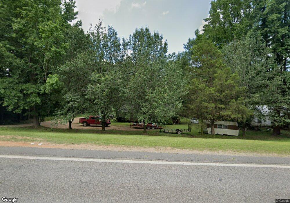
This home is located at 17075 Highway 11 N, Vance, AL 35490 and is currently estimated at $234,694, approximately $142 per square foot. 17075 Highway 11 N is a home located in Tuscaloosa County with nearby schools including Vance Elementary School, Brookwood Middle School, and Brookwood High School.
Ownership History
Date
Name
Owned For
Owner Type
Purchase Details
Closed on
May 10, 2024
Sold by
Brasher Douglas
Bought by
Brasher Douglas and Kelly Hunter Randall
Current Estimated Value
Purchase Details
Closed on
Jun 5, 2015
Sold by
Kelly Curtis Randall
Bought by
Brasher Douglas
Home Financials for this Owner
Home Financials are based on the most recent Mortgage that was taken out on this home.
Original Mortgage
$52,800
Interest Rate
3.88%
Mortgage Type
New Conventional
Create a Home Valuation Report for This Property
The Home Valuation Report is an in-depth analysis detailing your home's value as well as a comparison with similar homes in the area
Home Values in the Area
Average Home Value in this Area
Purchase History
| Date | Buyer | Sale Price | Title Company |
|---|---|---|---|
| Brasher Douglas | $10,000 | None Listed On Document | |
| Brasher Douglas | $82,000 | None Listed On Document | |
| Brasher Douglas | $127,800 | -- |
Source: Public Records
Mortgage History
| Date | Status | Borrower | Loan Amount |
|---|---|---|---|
| Previous Owner | Brasher Douglas | $52,800 |
Source: Public Records
Tax History Compared to Growth
Tax History
| Year | Tax Paid | Tax Assessment Tax Assessment Total Assessment is a certain percentage of the fair market value that is determined by local assessors to be the total taxable value of land and additions on the property. | Land | Improvement |
|---|---|---|---|---|
| 2024 | $572 | $21,200 | $1,280 | $19,920 |
| 2023 | $572 | $21,200 | $1,280 | $19,920 |
| 2022 | $711 | $26,340 | $1,280 | $25,060 |
| 2021 | $711 | $26,340 | $1,280 | $25,060 |
| 2020 | $640 | $23,700 | $1,280 | $22,420 |
| 2019 | $640 | $23,700 | $1,280 | $22,420 |
| 2018 | $611 | $22,640 | $1,280 | $21,360 |
| 2017 | $558 | $0 | $0 | $0 |
| 2016 | $565 | $0 | $0 | $0 |
| 2015 | $236 | $0 | $0 | $0 |
| 2014 | $236 | $10,470 | $640 | $9,830 |
Source: Public Records
Map
Nearby Homes
- 16884 Misty Dr
- 10432 Nicole St
- 11021 Dale Earnhart Dr
- 16670 Laney Ln
- 0 Daimler Benz Blvd
- 10464 Nicole St
- 11021 Dale Earnhardt Dr
- 10617 Austin Loop
- 16414 Highway 11 N
- 11453 Cedar Glades Dr
- 11428 Cedar Glades Dr
- 0 Tingle Tangle Rd Unit 171294
- 11617 Box Elder Way
- 11463 Walden Trace
- 11514 Cedar Glades Dr
- 11643 Carter Rd
- 0 Will Walker Rd Unit 21400219
- 18274 Mahaffey Cir
- 11312 Covered Bridge Rd
- 11316 Covered Bridge Rd
- 17071 Highway 11 N
- 17049 Highway 11 N
- 10738 Phillips Dr
- 17047 Highway 11 N
- 17050 Highway 11 N
- 17145 U S 11
- 17036 Highway 11 N
- 17145 Highway 11 N
- 17160 Highway 11 N
- 17104 Oglesby Dr
- 17159 Highway 11 N
- 10784 Tree Line Trail
- 17008 Highway 11 N
- 10805 Phillips Dr
- 16992 Highway 11 N
- 10866 Phillips Dr
- 17196 Highway 11 N
- 10850 Phillips Dr
- 10777 Lucille Dr
- 17218 Oglesby Dr