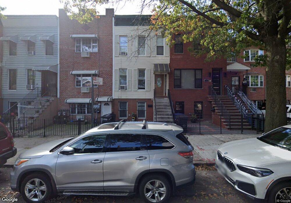
1708 Dean St Brooklyn, NY 11213
Crown Heights NeighborhoodEstimated Value: $809,000 - $1,153,000
--
Bed
--
Bath
1,989
Sq Ft
$495/Sq Ft
Est. Value
About This Home
This home is located at 1708 Dean St, Brooklyn, NY 11213 and is currently estimated at $985,031, approximately $495 per square foot. 1708 Dean St is a home located in Kings County with nearby schools including P.S. 243K- The Weeksville School and KIPP AMP Middle School.
Ownership History
Date
Name
Owned For
Owner Type
Purchase Details
Closed on
Jul 22, 2022
Sold by
Kenton Michael and Kenton Wanda
Bought by
Kenton Michael and Kenton Wanda
Current Estimated Value
Home Financials for this Owner
Home Financials are based on the most recent Mortgage that was taken out on this home.
Original Mortgage
$1,837,500
Outstanding Balance
$1,751,312
Interest Rate
5.3%
Mortgage Type
Purchase Money Mortgage
Estimated Equity
-$766,281
Purchase Details
Closed on
Sep 20, 2019
Sold by
Kenton Wanda
Bought by
Kenton Michael and Kenton Wanda
Create a Home Valuation Report for This Property
The Home Valuation Report is an in-depth analysis detailing your home's value as well as a comparison with similar homes in the area
Home Values in the Area
Average Home Value in this Area
Purchase History
| Date | Buyer | Sale Price | Title Company |
|---|---|---|---|
| Kenton Michael | -- | -- | |
| Kenton Michael | -- | -- |
Source: Public Records
Mortgage History
| Date | Status | Borrower | Loan Amount |
|---|---|---|---|
| Open | Kenton Michael | $1,837,500 |
Source: Public Records
Tax History Compared to Growth
Tax History
| Year | Tax Paid | Tax Assessment Tax Assessment Total Assessment is a certain percentage of the fair market value that is determined by local assessors to be the total taxable value of land and additions on the property. | Land | Improvement |
|---|---|---|---|---|
| 2025 | $1,368 | $64,260 | $18,000 | $46,260 |
| 2024 | $1,368 | $72,120 | $18,000 | $54,120 |
| 2023 | $1,294 | $74,640 | $18,000 | $56,640 |
| 2022 | $883 | $64,200 | $18,000 | $46,200 |
| 2021 | $1,162 | $49,560 | $18,000 | $31,560 |
| 2020 | $582 | $41,400 | $18,000 | $23,400 |
| 2019 | $934 | $32,940 | $18,000 | $14,940 |
| 2018 | $834 | $7,401 | $5,858 | $1,543 |
| 2017 | $968 | $6,984 | $4,953 | $2,031 |
| 2016 | -- | $6,596 | $3,973 | $2,623 |
| 2015 | -- | $6,592 | $3,668 | $2,924 |
| 2014 | -- | $6,517 | $4,313 | $2,204 |
Source: Public Records
Map
Nearby Homes
- 107 Utica Ave
- 1770 Pacific St
- 118 Utica Ave
- 1735 Pacific St
- 1796 Pacific St
- 111 Schenectady Ave
- 1226 St Marks Ave Unit 4B
- 1226 St Marks Ave Unit 3 B
- 1226 St Marks Ave Unit 1 B
- 42 Rochester Ave Unit 3
- 141 Schenectady Ave
- 147 Schenectady Ave
- 139 Rochester Ave
- 176 Utica Ave
- 1423 Park Place
- 1273 Saint Marks Ave
- 13 Suydam Place
- 1907 Pacific St
- 1767 Fulton St
- 1285A Saint Marks Ave