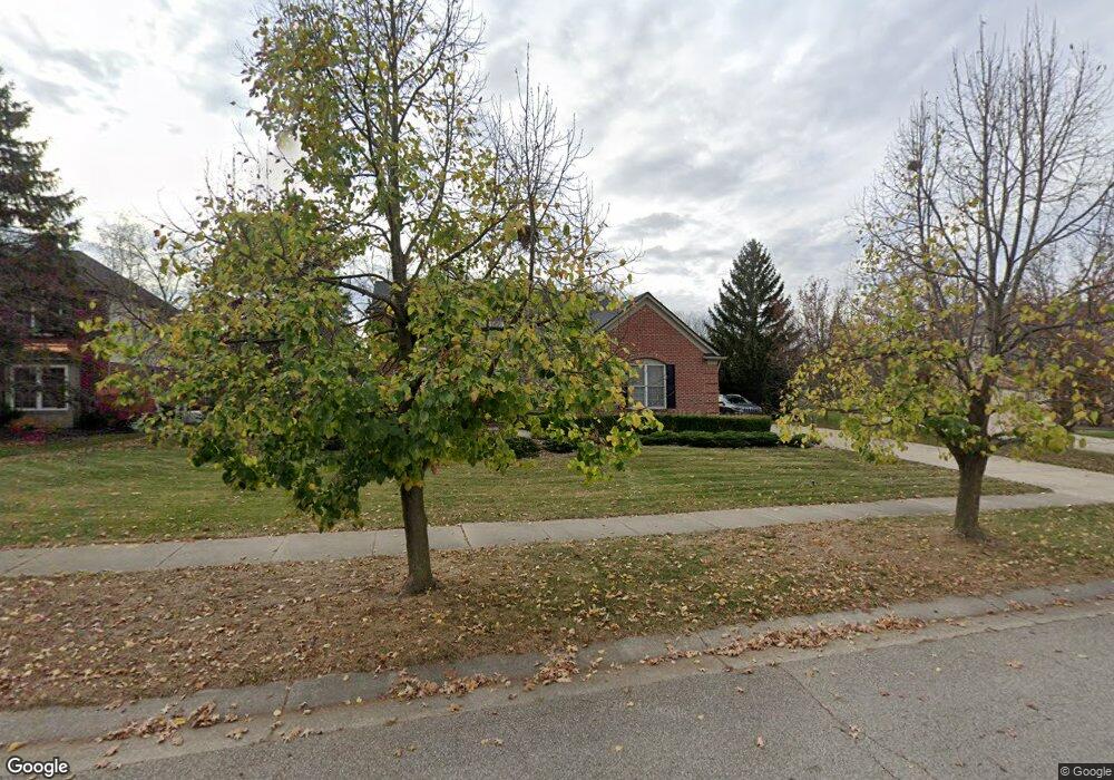
1708 Delancy Ct Canton, MI 48188
Estimated Value: $575,400 - $647,000
Studio
3
Baths
2,641
Sq Ft
$228/Sq Ft
Est. Value
About This Home
This home is located at 1708 Delancy Ct, Canton, MI 48188 and is currently estimated at $602,100, approximately $227 per square foot. 1708 Delancy Ct is a home located in Wayne County with nearby schools including Canton High School, Workman Elementary School, and Plymouth High School.
Ownership History
Date
Name
Owned For
Owner Type
Purchase Details
Closed on
Jun 26, 2020
Sold by
Marceau Yvan A and Marceau Gillian V
Bought by
Marceau Gillian V
Current Estimated Value
Home Financials for this Owner
Home Financials are based on the most recent Mortgage that was taken out on this home.
Original Mortgage
$300,000
Outstanding Balance
$266,514
Interest Rate
3.2%
Mortgage Type
New Conventional
Estimated Equity
$335,586
Purchase Details
Closed on
Apr 20, 2010
Sold by
Marceau Yvan A and Marceau Gillian V
Bought by
Marceau Yvan A and Marceau Gillian
Purchase Details
Closed on
Oct 3, 2001
Sold by
Pulte Land Development C
Bought by
Marceau Gillian
Create a Home Valuation Report for This Property
The Home Valuation Report is an in-depth analysis detailing your home's value as well as a comparison with similar homes in the area
Home Values in the Area
Average Home Value in this Area
Purchase History
| Date | Buyer | Sale Price | Title Company |
|---|---|---|---|
| Marceau Gillian V | -- | None Available | |
| Marceau Gillian V | -- | None Available | |
| Marceau Yvan A | -- | None Available | |
| Marceau Gillian | $115,000 | -- |
Source: Public Records
Mortgage History
| Date | Status | Borrower | Loan Amount |
|---|---|---|---|
| Open | Marceau Gillian V | $300,000 |
Source: Public Records
Tax History
| Year | Tax Paid | Tax Assessment Tax Assessment Total Assessment is a certain percentage of the fair market value that is determined by local assessors to be the total taxable value of land and additions on the property. | Land | Improvement |
|---|---|---|---|---|
| 2025 | $3,778 | $283,600 | $0 | $0 |
| 2024 | $3,671 | $265,400 | $0 | $0 |
| 2023 | $3,500 | $229,900 | $0 | $0 |
| 2022 | $7,549 | $219,800 | $0 | $0 |
| 2021 | $7,326 | $212,100 | $0 | $0 |
| 2020 | $7,239 | $209,700 | $0 | $0 |
| 2019 | $7,105 | $197,050 | $0 | $0 |
| 2018 | $2,974 | $192,660 | $0 | $0 |
| 2017 | $7,143 | $190,100 | $0 | $0 |
| 2016 | $6,450 | $194,100 | $0 | $0 |
| 2015 | $16,343 | $176,450 | $0 | $0 |
| 2013 | $15,833 | $173,040 | $0 | $0 |
| 2010 | -- | $148,270 | $79,370 | $68,900 |
Source: Public Records
Map
Nearby Homes
- 379 Springfield Dr
- 985 Truman Dr
- 48318 Manhattan Cir
- 897 Harrison St
- 464 Waterview Ct
- 2780 Denton Rd
- 48893 Fifth Ave
- 1024 Ghent St
- 50249 Jefferson St Unit 415
- 137 Village Way
- 000 Filmore St
- 001 Filmore St
- 002 Filmore St
- 990 Shay St
- 370 Roosevelt St
- 3410 Niagara Ave
- 51083 Meadowlands
- 0000 Denton Rd
- 00000 Denton Rd
- 50413 Monroe St Unit 36
- 1746 Delancy Ct
- 1670 Delancy Ct
- 1809 Delancy Cir
- 1767 Delancy Cir
- 1669 Liberty St N
- 1626 Delancy Ct
- 1709 Liberty St N
- 1707 Delancy Ct
- 1629 Liberty St N
- 1825 Delancy Cir
- 1671 Delancy Ct
- 1796 Delancy Cir
- 1780 Delancy Cir
- 1587 Liberty St N
- 1810 Delancy Cir
- 1766 Delancy Cir
- 1751 Delancy Cir
- 1841 Delancy Cir
- 1547 Liberty St N
- 1826 Delancy Cir
Your Personal Tour Guide
Ask me questions while you tour the home.