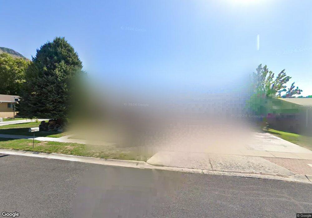
1708 E 1600 N Logan, UT 84341
Hillcrest NeighborhoodEstimated Value: $455,000 - $483,038
4
Beds
3
Baths
2,660
Sq Ft
$177/Sq Ft
Est. Value
About This Home
This home is located at 1708 E 1600 N, Logan, UT 84341 and is currently estimated at $472,010, approximately $177 per square foot. 1708 E 1600 N is a home located in Cache County with nearby schools including Hillcrest Elementary School, Mount Logan Middle School, and Logan High School.
Ownership History
Date
Name
Owned For
Owner Type
Purchase Details
Closed on
Apr 28, 2023
Sold by
Handy Glade Lowe and Handy Yvonne
Bought by
Sandoval Isidro and Sandolval Chantal
Current Estimated Value
Home Financials for this Owner
Home Financials are based on the most recent Mortgage that was taken out on this home.
Original Mortgage
$411,410
Outstanding Balance
$399,548
Interest Rate
6.6%
Mortgage Type
FHA
Estimated Equity
$72,462
Purchase Details
Closed on
May 14, 2010
Sold by
Handy Glade L and Handy Yvonne B
Bought by
Handy Glade Lowe and Handy Yvonne Barfus
Create a Home Valuation Report for This Property
The Home Valuation Report is an in-depth analysis detailing your home's value as well as a comparison with similar homes in the area
Home Values in the Area
Average Home Value in this Area
Purchase History
| Date | Buyer | Sale Price | Title Company |
|---|---|---|---|
| Sandoval Isidro | -- | Backman Title Services | |
| Handy Glade Lowe | -- | None Available |
Source: Public Records
Mortgage History
| Date | Status | Borrower | Loan Amount |
|---|---|---|---|
| Open | Sandoval Isidro | $411,410 |
Source: Public Records
Tax History
| Year | Tax Paid | Tax Assessment Tax Assessment Total Assessment is a certain percentage of the fair market value that is determined by local assessors to be the total taxable value of land and additions on the property. | Land | Improvement |
|---|---|---|---|---|
| 2025 | $2,161 | $279,515 | $0 | $0 |
| 2024 | $2,231 | $279,515 | $0 | $0 |
| 2023 | $2,327 | $277,865 | $0 | $0 |
| 2022 | $2,073 | $231,115 | $0 | $0 |
| 2021 | $1,964 | $338,240 | $65,000 | $273,240 |
| 2020 | $1,888 | $292,700 | $65,000 | $227,700 |
| 2019 | $1,614 | $239,451 | $65,000 | $174,451 |
| 2018 | $1,572 | $212,840 | $65,000 | $147,840 |
| 2017 | $1,398 | $100,100 | $0 | $0 |
| 2016 | $1,449 | $100,100 | $0 | $0 |
| 2015 | $1,451 | $100,100 | $0 | $0 |
| 2014 | $1,250 | $95,355 | $0 | $0 |
| 2013 | -- | $95,355 | $0 | $0 |
Source: Public Records
Map
Nearby Homes
- 1440 N 1600 E
- 1586 N Sharptail Cir
- 1902 E 1500 N
- 1450 N 1525 E
- 1720 N 1850 E
- 1901 Southpointe Ct
- 1475 N Aspen Dr Unit 16
- 1451 N Aspen Dr
- 1535 E 1385 N
- 1405 N Aspen Dr
- 1949 Deer Crest Cir Unit 49
- 1959 Deer Crest Cir
- 1454 N 1400 E
- 1782 E 1250 N
- 1512 E 1260 N
- 1336 E Talmage Ln Unit 38
- 1374 N 1250 E Unit 48
- 1354 N 1250 E Unit 46
- 1810 N 2070 E Unit 10
- 1133 N 1520 E
Your Personal Tour Guide
Ask me questions while you tour the home.