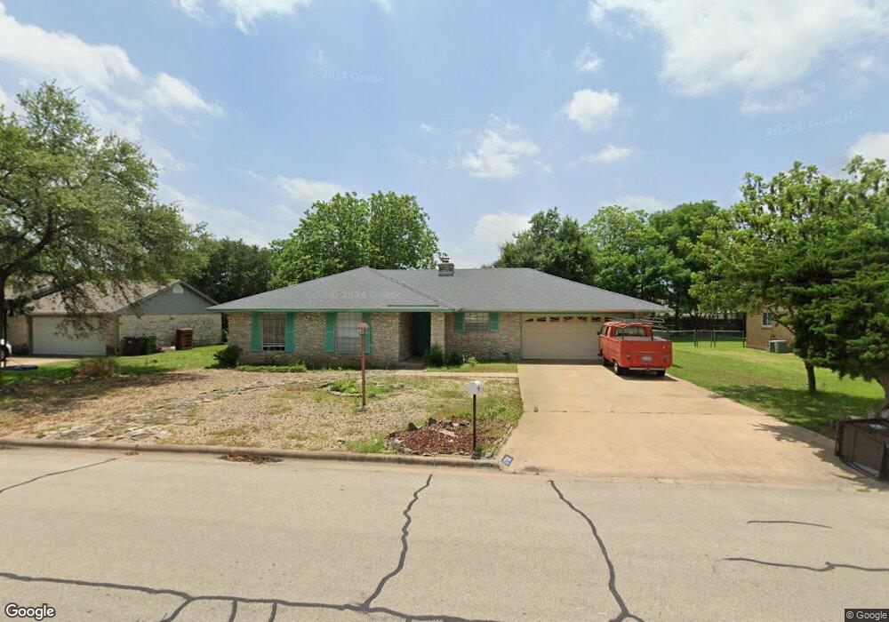
1708 Egger Ave Round Rock, TX 78664
Stony Point NeighborhoodEstimated Value: $346,000 - $364,000
3
Beds
2
Baths
1,653
Sq Ft
$217/Sq Ft
Est. Value
About This Home
This home is located at 1708 Egger Ave, Round Rock, TX 78664 and is currently estimated at $357,881, approximately $216 per square foot. 1708 Egger Ave is a home located in Williamson County with nearby schools including Robertson Elementary School, Hernandez Middle School, and Stony Point High IB World School.
Ownership History
Date
Name
Owned For
Owner Type
Purchase Details
Closed on
Jul 26, 2021
Sold by
Huffman Franklin B
Bought by
Huffman Franklin B and Huffman Maria M
Current Estimated Value
Home Financials for this Owner
Home Financials are based on the most recent Mortgage that was taken out on this home.
Original Mortgage
$107,750
Outstanding Balance
$80,337
Interest Rate
2.3%
Mortgage Type
New Conventional
Estimated Equity
$277,544
Purchase Details
Closed on
Apr 23, 2008
Sold by
Harris Ben M and Harris Benjamin M
Bought by
Huffman Franklin B
Home Financials for this Owner
Home Financials are based on the most recent Mortgage that was taken out on this home.
Original Mortgage
$143,744
Interest Rate
6.11%
Mortgage Type
FHA
Create a Home Valuation Report for This Property
The Home Valuation Report is an in-depth analysis detailing your home's value as well as a comparison with similar homes in the area
Home Values in the Area
Average Home Value in this Area
Purchase History
| Date | Buyer | Sale Price | Title Company |
|---|---|---|---|
| Huffman Franklin B | -- | None Listed On Document | |
| Huffman Franklin B | -- | Landamerica Austin Title |
Source: Public Records
Mortgage History
| Date | Status | Borrower | Loan Amount |
|---|---|---|---|
| Open | Huffman Franklin B | $107,750 | |
| Previous Owner | Huffman Franklin B | $143,744 |
Source: Public Records
Tax History
| Year | Tax Paid | Tax Assessment Tax Assessment Total Assessment is a certain percentage of the fair market value that is determined by local assessors to be the total taxable value of land and additions on the property. | Land | Improvement |
|---|---|---|---|---|
| 2025 | $5,176 | $358,881 | $72,700 | $286,181 |
| 2024 | $5,176 | $346,520 | -- | -- |
| 2023 | $4,547 | $315,018 | $80,000 | $235,018 |
| 2022 | $5,547 | $292,494 | $0 | $0 |
| 2021 | $5,969 | $265,904 | $54,000 | $242,778 |
| 2020 | $5,457 | $241,731 | $51,375 | $190,356 |
| 2019 | $5,427 | $235,059 | $45,251 | $189,808 |
| 2018 | $4,978 | $230,098 | $37,878 | $196,152 |
| 2017 | $4,928 | $209,180 | $35,400 | $173,780 |
| 2016 | $4,575 | $194,196 | $35,400 | $158,796 |
| 2015 | $3,654 | $169,033 | $32,100 | $136,933 |
| 2014 | $3,654 | $155,312 | $0 | $0 |
Source: Public Records
Map
Nearby Homes
- 514 Sara Dr
- 1708 W Mesa Park Dr
- 902 E Bowman Rd
- 504 Virginia Dr
- 902 Virginia Dr
- 2006 Heathwood Cir
- 1008 Ridgeline Dr
- 1500 Wildflower Dr
- 1204 Melbourne Ln
- 1301 Wayne Dr
- 1904 Cameo Dr
- 607 Saunders Dr
- 1901 Bradmore Dr
- 1402 Wayne Dr
- 801 Saunders Dr
- 1602 Provident Ln
- 800 Saunders Dr
- 1812 Provident Ln
- 1711 Provident Ln
- 609 Clearwater Trail
Your Personal Tour Guide
Ask me questions while you tour the home.