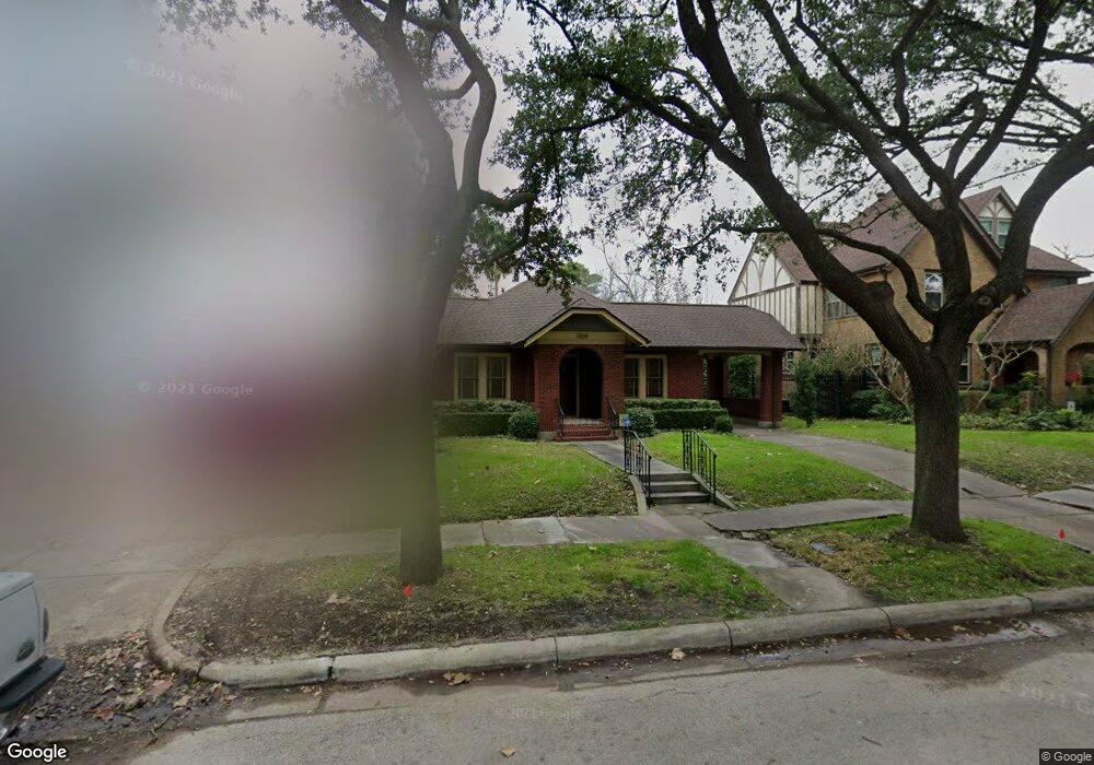
1708 Harold St Houston, TX 77098
Montrose NeighborhoodEstimated Value: $758,000 - $808,000
2
Beds
1
Bath
1,500
Sq Ft
$523/Sq Ft
Est. Value
About This Home
This home is located at 1708 Harold St, Houston, TX 77098 and is currently estimated at $784,433, approximately $522 per square foot. 1708 Harold St is a home located in Harris County with nearby schools including Baker Montessori, Lanier Middle School, and Lamar High School.
Ownership History
Date
Name
Owned For
Owner Type
Purchase Details
Closed on
Feb 9, 2021
Sold by
Rachel Varghese
Bought by
Varghese Ranjana
Current Estimated Value
Purchase Details
Closed on
May 15, 2019
Sold by
Deal Michael M
Bought by
Varghese Kurissingal and Varghese Rachel
Purchase Details
Closed on
Sep 12, 2018
Bought by
Deal Michael M
Home Financials for this Owner
Home Financials are based on the most recent Mortgage that was taken out on this home.
Original Mortgage
$991,750
Interest Rate
4.54%
Purchase Details
Closed on
Aug 7, 2002
Sold by
Garrett Teri M
Bought by
Deal Michael M
Home Financials for this Owner
Home Financials are based on the most recent Mortgage that was taken out on this home.
Original Mortgage
$208,800
Interest Rate
6.53%
Purchase Details
Closed on
Dec 29, 1998
Sold by
Williams Scott L and Williams Karin W
Bought by
Garrett Teri M
Home Financials for this Owner
Home Financials are based on the most recent Mortgage that was taken out on this home.
Original Mortgage
$157,500
Interest Rate
6.85%
Create a Home Valuation Report for This Property
The Home Valuation Report is an in-depth analysis detailing your home's value as well as a comparison with similar homes in the area
Home Values in the Area
Average Home Value in this Area
Purchase History
| Date | Buyer | Sale Price | Title Company |
|---|---|---|---|
| Varghese Ranjana | -- | None Listed On Document | |
| Varghese Kurissingal | -- | Stewart Title | |
| Deal Michael M | -- | -- | |
| Deal Michael M | -- | -- | |
| Garrett Teri M | -- | -- |
Source: Public Records
Mortgage History
| Date | Status | Borrower | Loan Amount |
|---|---|---|---|
| Previous Owner | Deal Michael M | $991,750 | |
| Previous Owner | Deal Michael M | -- | |
| Previous Owner | Deal Michael M | $208,800 | |
| Previous Owner | Garrett Teri M | $157,500 |
Source: Public Records
Tax History Compared to Growth
Tax History
| Year | Tax Paid | Tax Assessment Tax Assessment Total Assessment is a certain percentage of the fair market value that is determined by local assessors to be the total taxable value of land and additions on the property. | Land | Improvement |
|---|---|---|---|---|
| 2025 | $7,565 | $848,534 | $699,600 | $148,934 |
| 2024 | $7,565 | $764,187 | $641,300 | $122,887 |
| 2023 | $7,565 | $775,731 | $641,300 | $134,431 |
| 2022 | $14,989 | $680,724 | $466,400 | $214,324 |
| 2021 | $14,511 | $622,597 | $466,400 | $156,197 |
| 2020 | $15,738 | $649,925 | $494,384 | $155,541 |
| 2019 | $14,874 | $587,800 | $494,384 | $93,416 |
| 2018 | $11,274 | $569,000 | $463,485 | $105,515 |
| 2017 | $14,954 | $569,000 | $463,485 | $105,515 |
| 2016 | $14,728 | $555,300 | $401,687 | $153,613 |
| 2015 | $9,303 | $595,000 | $401,687 | $193,313 |
| 2014 | $9,303 | $496,000 | $370,788 | $125,212 |
Source: Public Records
Map
Nearby Homes
- 1701 Hawthorne St
- 1660 Kipling St
- 1660 Hawthorne St
- 1620 Harold St
- 1634 Marshall St
- 1612 Kipling St
- 1723 Marshall St
- 1755 Kipling St
- 1539 Westheimer Rd
- 1638 W Alabama St
- 2413 Ralph St Unit 2
- 2506 Mandell St Unit 3
- 1612 W Alabama St Unit ABCD
- 2415 Elmen St
- 3705 Mandell St Unit 8
- 1531 Marshall St Unit 3
- 1517 Kipling St
- 1511 Kipling St
- 1640 Sul Ross St
- 1507 Kipling St
- 1712 Harold St
- 1704 Harold St
- 1716 Harold St
- 1707 Hawthorne St
- 1701 Hawthorne St Unit 2
- 1701 Hawthorne St Unit 1
- 1717 Hawthorne St
- 1718 Harold St
- 1707 Harold St
- 1711 Harold St
- 1656 Harold St
- 1701 Harold St
- 1719 Hawthorne St
- 1715 Harold St
- 1720 Harold St
- 1661 Hawthorne St
- 1719 Harold St
- 1719 Harold St Unit B
- 1659 Hawthorne St
- 1659 Harold St