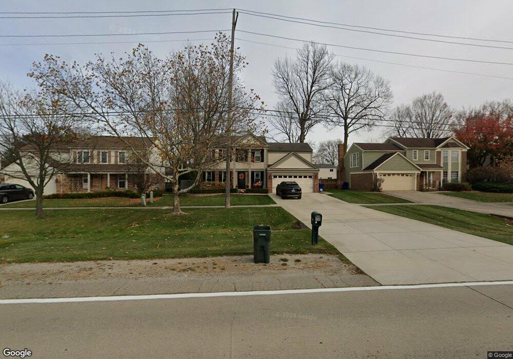
1708 N Morton Taylor Rd Canton, MI 48187
Estimated Value: $384,000 - $446,000
3
Beds
3
Baths
1,918
Sq Ft
$215/Sq Ft
Est. Value
About This Home
This home is located at 1708 N Morton Taylor Rd, Canton, MI 48187 and is currently estimated at $411,721, approximately $214 per square foot. 1708 N Morton Taylor Rd is a home located in Wayne County with nearby schools including Canton High School, Discovery Middle School, and Salem High School.
Ownership History
Date
Name
Owned For
Owner Type
Purchase Details
Closed on
Mar 24, 2010
Sold by
Johnson John F
Bought by
Johnson John F and Johnson Amy L
Current Estimated Value
Home Financials for this Owner
Home Financials are based on the most recent Mortgage that was taken out on this home.
Original Mortgage
$155,000
Outstanding Balance
$102,885
Interest Rate
5.01%
Mortgage Type
New Conventional
Estimated Equity
$308,836
Purchase Details
Closed on
May 2, 1996
Sold by
Johnson John F and Johnson Bertina
Bought by
Brooks Alfonzo and Brooks Arrona
Create a Home Valuation Report for This Property
The Home Valuation Report is an in-depth analysis detailing your home's value as well as a comparison with similar homes in the area
Home Values in the Area
Average Home Value in this Area
Purchase History
| Date | Buyer | Sale Price | Title Company |
|---|---|---|---|
| Johnson John F | -- | Dfcu Title Agency Llc | |
| Brooks Alfonzo | $172,000 | -- |
Source: Public Records
Mortgage History
| Date | Status | Borrower | Loan Amount |
|---|---|---|---|
| Open | Johnson John F | $155,000 |
Source: Public Records
Tax History
| Year | Tax Paid | Tax Assessment Tax Assessment Total Assessment is a certain percentage of the fair market value that is determined by local assessors to be the total taxable value of land and additions on the property. | Land | Improvement |
|---|---|---|---|---|
| 2025 | $2,032 | $209,100 | $0 | $0 |
| 2024 | $1,974 | $184,800 | $0 | $0 |
| 2023 | $1,882 | $167,100 | $0 | $0 |
| 2022 | $4,145 | $149,100 | $0 | $0 |
| 2021 | $4,022 | $143,800 | $0 | $0 |
| 2020 | $3,967 | $137,400 | $0 | $0 |
| 2019 | $3,896 | $131,520 | $0 | $0 |
| 2018 | $1,600 | $127,140 | $0 | $0 |
| 2017 | $3,958 | $123,500 | $0 | $0 |
| 2016 | $3,515 | $118,500 | $0 | $0 |
| 2015 | $8,714 | $103,370 | $0 | $0 |
| 2013 | $8,442 | $92,370 | $0 | $0 |
| 2010 | -- | $98,710 | $33,715 | $64,995 |
Source: Public Records
Map
Nearby Homes
- 1399 Copeland Cir
- 58560 Stuart Dr
- 1567 Marlowe St
- 5794 Willow Creek Dr
- 42739 Lilley Pointe Dr Unit 119
- 5806 Wedgewood Rd
- 42751 Lilley Pointe Dr
- 1822 N Sheldon Rd
- 42789 Lilley Pointe Dr Unit 146
- 42195 Briarcliff Ct
- 42216 Metaline Dr
- 42195 Fairview Dr
- 44528 Whitman Ave
- 44035 Westminister Way
- 44447 Savery Dr Unit 126
- 1987 E Franklin Dr Unit 65
- 44497 Savery Dr Unit 103
- 41772 Glade Rd Unit 41
- 42020 Hystone St
- 41715 Bedford Dr
- 1732 N Morton Taylor Rd
- 1713 Aberdeen St
- 1756 N Morton Taylor Rd
- 1735 Aberdeen St
- 1691 Aberdeen St
- 1757 Aberdeen St
- 1684 N Morton Taylor Rd
- 1669 Aberdeen St
- 1780 N Morton Taylor Rd
- 1779 Aberdeen St
- 1804 N Morton Taylor Rd
- 1660 N Morton Taylor Rd
- 1647 Aberdeen St
- 1801 Aberdeen St
- 1625 Aberdeen St
- 43437 Fleetwood Ct
- 1636 N Morton Taylor Rd
- 1734 Aberdeen St
- 1712 Aberdeen St
- 43438 Fleetwood Ct
Your Personal Tour Guide
Ask me questions while you tour the home.