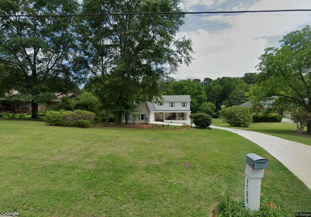
1708 Rivermist Dr SW Unit 1 Lilburn, GA 30047
Estimated Value: $509,000 - $577,000
3
Beds
4
Baths
3,238
Sq Ft
$169/Sq Ft
Est. Value
About This Home
This home is located at 1708 Rivermist Dr SW Unit 1, Lilburn, GA 30047 and is currently estimated at $546,989, approximately $168 per square foot. 1708 Rivermist Dr SW Unit 1 is a home located in Gwinnett County with nearby schools including Head Elementary School, Five Forks Middle School, and Brookwood High School.
Ownership History
Date
Name
Owned For
Owner Type
Purchase Details
Closed on
Jan 30, 1998
Sold by
Wallingford Donald H and Wallingford Priscilla R
Bought by
Bynum Larry
Current Estimated Value
Home Financials for this Owner
Home Financials are based on the most recent Mortgage that was taken out on this home.
Original Mortgage
$130,800
Outstanding Balance
$21,700
Interest Rate
7.01%
Mortgage Type
New Conventional
Estimated Equity
$525,289
Create a Home Valuation Report for This Property
The Home Valuation Report is an in-depth analysis detailing your home's value as well as a comparison with similar homes in the area
Home Values in the Area
Average Home Value in this Area
Purchase History
| Date | Buyer | Sale Price | Title Company |
|---|---|---|---|
| Bynum Larry | $163,500 | -- |
Source: Public Records
Mortgage History
| Date | Status | Borrower | Loan Amount |
|---|---|---|---|
| Open | Bynum Larry | $130,800 |
Source: Public Records
Tax History Compared to Growth
Tax History
| Year | Tax Paid | Tax Assessment Tax Assessment Total Assessment is a certain percentage of the fair market value that is determined by local assessors to be the total taxable value of land and additions on the property. | Land | Improvement |
|---|---|---|---|---|
| 2025 | $6,995 | $225,200 | $30,920 | $194,280 |
| 2024 | $5,743 | $225,200 | $30,920 | $194,280 |
| 2023 | $5,743 | $154,640 | $25,520 | $129,120 |
| 2022 | $0 | $154,640 | $25,520 | $129,120 |
| 2021 | $5,265 | $157,880 | $25,520 | $132,360 |
| 2020 | $5,528 | $140,600 | $25,520 | $115,080 |
| 2019 | $4,207 | $108,600 | $22,000 | $86,600 |
| 2018 | $4,212 | $108,600 | $22,000 | $86,600 |
| 2016 | $3,610 | $90,960 | $19,360 | $71,600 |
| 2015 | $3,648 | $90,960 | $19,360 | $71,600 |
| 2014 | $3,667 | $90,960 | $19,360 | $71,600 |
Source: Public Records
Map
Nearby Homes
- 3663 Stonelake Ct SW Unit 1
- 1776 Bear Cave SW
- 3725 Hunting Ridge Dr SW
- 1795 Elmwood Cir
- 3728 Kelin Ct SW
- 1893 Hedgestone Ct
- 1721 Bruckner Ct
- 3594 Hedgestone Ln
- 3588 Kelin Ct SW
- 2350 Action Way
- 3331 Manchester Dr SW
- 3868 Buckland Dr SW
- 3207 Aspen Cir SW
- 1905 Embassy Walk Ln
- 1904 Britt Dr
- 2167 Foley Park St
- 2286 Foley Park St
- 1698 Rivermist Dr SW
- 1718 Rivermist Dr SW
- 1728 Rivermist Dr SW
- 1688 Rivermist Dr SW
- 1717 Rivermist Dr SW
- 1707 Rivermist Dr SW
- 1678 Rivermist Dr SW
- 1627 Red Fox Run SW Unit 8
- 1737 Rivermist Dr SW
- 1738 Rivermist Dr SW
- 1697 Rivermist Dr SW
- 1697 Rivermist Dr SW Unit 1
- 1617 Red Fox Run SW
- 1717 Red Fox Run SW Unit 7
- 1668 Rivermist Dr SW
- 1747 Rivermist Dr SW
- 1707 Red Fox Run SW Unit 7
- 1647 Red Fox Run SW
- 3654 Hunting Ridge Dr SW Unit 1
- 1607 Red Fox Run SW