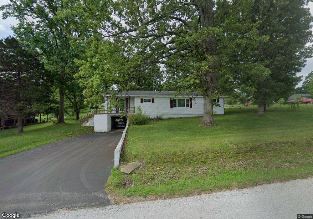
17081 Locust Rd Neosho, MO 64850
Estimated Value: $203,000 - $286,000
3
Beds
--
Bath
1,544
Sq Ft
$150/Sq Ft
Est. Value
About This Home
This home is located at 17081 Locust Rd, Neosho, MO 64850 and is currently estimated at $230,973, approximately $149 per square foot. 17081 Locust Rd is a home with nearby schools including Neosho High School and Neosho Christian Schools.
Ownership History
Date
Name
Owned For
Owner Type
Purchase Details
Closed on
Dec 20, 2019
Sold by
Johnny Sellars William
Bought by
Bridges Kenneth and Bridges Shilo
Current Estimated Value
Home Financials for this Owner
Home Financials are based on the most recent Mortgage that was taken out on this home.
Original Mortgage
$50,000
Outstanding Balance
$44,082
Interest Rate
3.6%
Mortgage Type
Seller Take Back
Estimated Equity
$186,891
Create a Home Valuation Report for This Property
The Home Valuation Report is an in-depth analysis detailing your home's value as well as a comparison with similar homes in the area
Purchase History
| Date | Buyer | Sale Price | Title Company |
|---|---|---|---|
| Bridges Kenneth | $66,500 | None Listed On Document | |
| Bridges Kenneth | -- | None Listed On Document |
Source: Public Records
Mortgage History
| Date | Status | Borrower | Loan Amount |
|---|---|---|---|
| Open | Bridges Kenneth | $50,000 | |
| Closed | Bridges Kenneth | $50,000 |
Source: Public Records
Tax History
| Year | Tax Paid | Tax Assessment Tax Assessment Total Assessment is a certain percentage of the fair market value that is determined by local assessors to be the total taxable value of land and additions on the property. | Land | Improvement |
|---|---|---|---|---|
| 2024 | $1,106 | $19,990 | -- | -- |
| 2023 | $1,106 | $19,990 | $2,375 | $17,615 |
| 2022 | $1,106 | $19,500 | -- | -- |
| 2021 | $1,076 | $19,500 | $0 | $0 |
| 2020 | $1,041 | $18,990 | $0 | $0 |
| 2019 | $791 | $15,800 | $0 | $0 |
| 2018 | $799 | $15,800 | $0 | $0 |
| 2017 | $781 | $15,800 | $0 | $0 |
| 2016 | $781 | $15,500 | $0 | $0 |
| 2015 | -- | $15,500 | $0 | $0 |
| 2014 | -- | $15,210 | $0 | $0 |
Source: Public Records
Map
Nearby Homes
- 13240 Mallard Dr
- 17744 State Highway 86
- 17506 Northridge Dr
- 12693 Missouri 59
- 13174 Owens Ln
- 000-7.59ac Eastwood Dr
- 13200 Oregon Ln
- 18453 State Highway 86
- 817 Kentland Dr
- 416 E Hickory St
- 912 Freeman Rd
- 324 Saint Johns St
- 17135 Highway Hh
- 420 E Mckinney St
- 421 E Mckinney St
- 823 Hearrell Ave
- 15363 Kentucky Rd
- 1002 Hearrell St
- 215 E Mckinney St
- 15225 State Highway Tt
- 17115 Locust Rd
- 17119 Locust Rd
- 17117 Locust Rd
- 2566 N Wood St Unit St
- 2566 N Wood St
- 17173 Locust Rd Unit 1
- 17028 Locust Rd
- 2532 N Wood St
- 13073 McMinniville Ln
- 17239 Locust Rd
- 13171 McMinniville Ln
- 17228 Locust Rd
- 17283 Locust Rd
- 13186 McMinniville Ln
- 13186 McMinniville Ln
- 2555 N Wood St
- 2553 N Wood St
- 2543 N Wood St
- 2475 N Wood St
- 12879 Mallard Dr
Your Personal Tour Guide
Ask me questions while you tour the home.