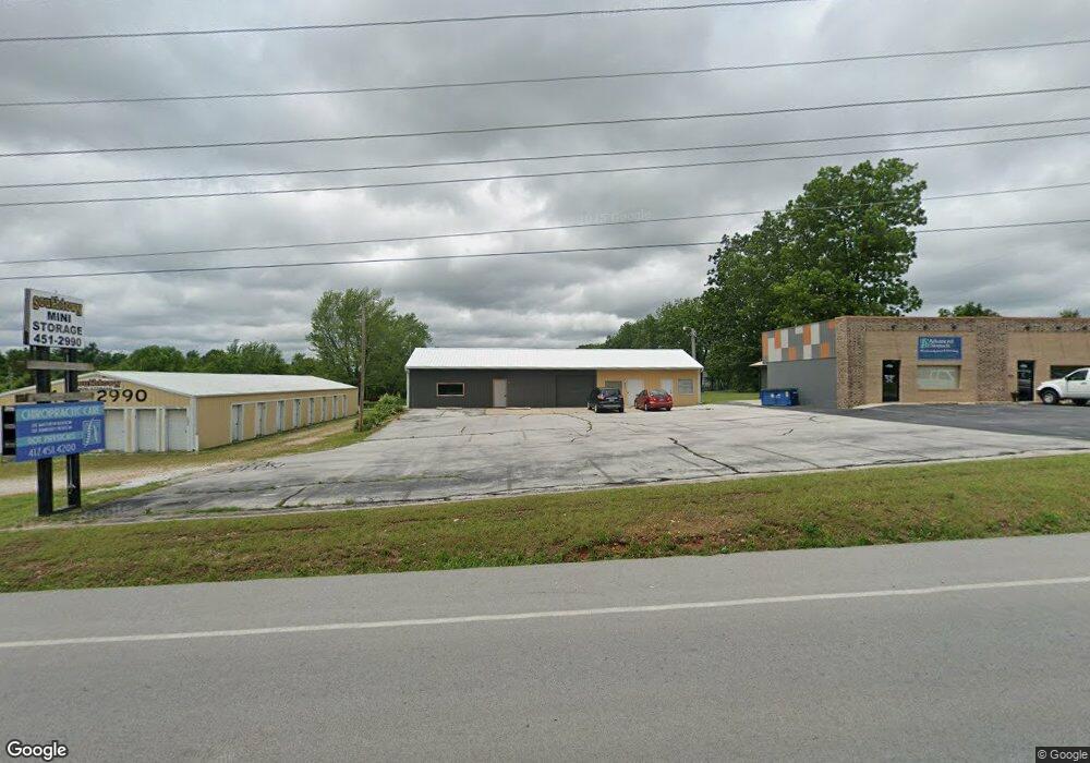
17082 Hwy 59 Neosho, MO 64850
Estimated Value: $240,879 - $265,000
4
Beds
3
Baths
1,790
Sq Ft
$142/Sq Ft
Est. Value
About This Home
This home is located at 17082 Hwy 59, Neosho, MO 64850 and is currently estimated at $254,470, approximately $142 per square foot. 17082 Hwy 59 is a home located in Newton County with nearby schools including Neosho High School and Neosho Christian Schools.
Ownership History
Date
Name
Owned For
Owner Type
Purchase Details
Closed on
May 29, 2020
Sold by
Daves and Mary
Bought by
Gayer Isaac and Gayer Jazmin
Current Estimated Value
Home Financials for this Owner
Home Financials are based on the most recent Mortgage that was taken out on this home.
Original Mortgage
$157,003
Outstanding Balance
$139,431
Interest Rate
3.3%
Mortgage Type
FHA
Estimated Equity
$115,039
Purchase Details
Closed on
May 31, 2018
Sold by
Rochon Deborah M
Bought by
Daves Field and Daves Mary
Home Financials for this Owner
Home Financials are based on the most recent Mortgage that was taken out on this home.
Original Mortgage
$129,827
Interest Rate
4.4%
Mortgage Type
VA
Create a Home Valuation Report for This Property
The Home Valuation Report is an in-depth analysis detailing your home's value as well as a comparison with similar homes in the area
Home Values in the Area
Average Home Value in this Area
Purchase History
| Date | Buyer | Sale Price | Title Company |
|---|---|---|---|
| Gayer Isaac | $158,573 | None Listed On Document | |
| Daves Field | $127,230 | None Listed On Document |
Source: Public Records
Mortgage History
| Date | Status | Borrower | Loan Amount |
|---|---|---|---|
| Open | Gayer Isaac | $157,003 | |
| Previous Owner | Daves Field | $129,827 |
Source: Public Records
Tax History Compared to Growth
Tax History
| Year | Tax Paid | Tax Assessment Tax Assessment Total Assessment is a certain percentage of the fair market value that is determined by local assessors to be the total taxable value of land and additions on the property. | Land | Improvement |
|---|---|---|---|---|
| 2024 | $978 | $18,130 | -- | -- |
| 2023 | $978 | $18,130 | $2,128 | $16,002 |
| 2022 | $978 | $18,130 | -- | -- |
| 2021 | $978 | $18,130 | $0 | $0 |
| 2020 | $895 | $16,680 | $0 | $0 |
| 2019 | $798 | $16,360 | $0 | $0 |
| 2018 | $778 | $15,850 | $0 | $0 |
| 2017 | $863 | $16,400 | $0 | $0 |
| 2016 | $863 | $17,610 | $0 | $0 |
| 2015 | -- | $17,610 | $0 | $0 |
| 2014 | -- | $15,370 | $0 | $0 |
Source: Public Records
Map
Nearby Homes
- 3541 Lusk Dr
- 1925 Sylvan Ave
- 1905 Verdant Ave
- 1911 N Meadows Dr
- 1936 Verdant Ave
- 1895 Industrial Dr
- 000 Orchid Dr
- TBD Orchid Dr
- 2808 Blue Bell Ave
- 006 Kodiak Rd
- 13590 Patti Ln
- 13626 Patti Ln
- 13581 Patti Ln
- 17911 Kirksville Rd
- 21262 Palm Rd
- Xxx Highway 60
- 1330 Stoneledge Ln
- 15084 Mm Hwy
- 1 M/L Acre Lusk Business I-49
- 13691 Palm Rd
- 17082 Highway 59
- 17082 Highway 59
- 17066 Highway 59
- 17066 Hwy 59
- 17074 Highway 59
- 17058 S Highway 59
- 000 Lusk Dr
- 17068 Highway 59
- 17068 Hwy 59
- 3531 Lusk Dr
- 2m/l Highway 59
- 3521 Lusk Dr Unit 1
- 3521 Lusk Dr
- Tbd Highway 59
- 3511 Lusk Dr
- 0 L8 Meadows Dr Unit 629167
- 3501 Lusk Dr
- 2 m/l Highway 59
- 1825 Meadows Dr
- Xxx Business 49 & Malcom Mosby Dr
