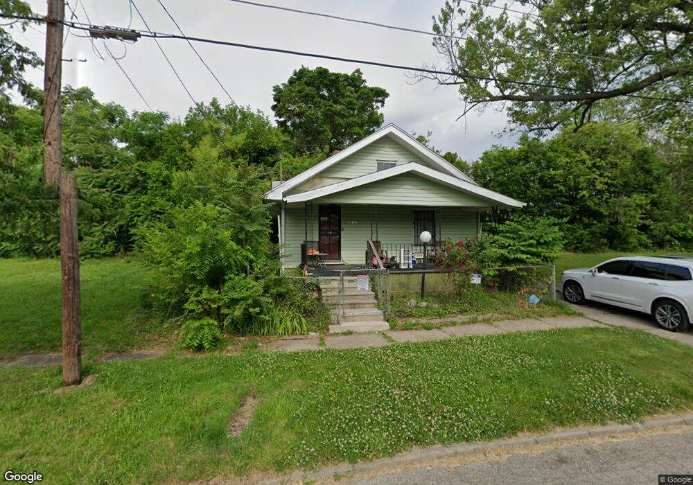
1709 Albert St Flint, MI 48505
King Avenue Plus NeighborhoodEstimated Value: $24,000 - $64,689
2
Beds
1
Bath
936
Sq Ft
$44/Sq Ft
Est. Value
About This Home
This home is located at 1709 Albert St, Flint, MI 48505 and is currently estimated at $41,422, approximately $44 per square foot. 1709 Albert St is a home located in Genesee County with nearby schools including Brownell STEM Academy, Flint Cultural Center Academy, and WAY Academy of Flint.
Ownership History
Date
Name
Owned For
Owner Type
Purchase Details
Closed on
Nov 14, 2019
Sold by
Genesee County Land Bank Authority
Bought by
Coley Johnny L
Current Estimated Value
Purchase Details
Closed on
Jan 18, 2018
Sold by
The Genesee County Land Bank Authority
Bought by
Coley Johnny I
Purchase Details
Closed on
Dec 20, 2017
Sold by
Cherry Deborah L
Bought by
Land Bank Authority
Create a Home Valuation Report for This Property
The Home Valuation Report is an in-depth analysis detailing your home's value as well as a comparison with similar homes in the area
Home Values in the Area
Average Home Value in this Area
Purchase History
| Date | Buyer | Sale Price | Title Company |
|---|---|---|---|
| Coley Johnny L | $3,000 | None Available | |
| Coley Johnny I | -- | None Available | |
| Land Bank Authority | -- | None Available |
Source: Public Records
Mortgage History
| Date | Status | Borrower | Loan Amount |
|---|---|---|---|
| Closed | Coley Johnny I | $0 |
Source: Public Records
Tax History
| Year | Tax Paid | Tax Assessment Tax Assessment Total Assessment is a certain percentage of the fair market value that is determined by local assessors to be the total taxable value of land and additions on the property. | Land | Improvement |
|---|---|---|---|---|
| 2025 | $567 | $10,200 | $0 | $0 |
| 2024 | $538 | $8,500 | $0 | $0 |
| 2023 | $537 | $7,800 | $0 | $0 |
| 2022 | $0 | $6,700 | $0 | $0 |
| 2021 | $470 | $6,100 | $0 | $0 |
| 2020 | $441 | $4,700 | $0 | $0 |
| 2019 | $441 | $3,600 | $0 | $0 |
| 2018 | $221 | $0 | $0 | $0 |
| 2017 | $365 | $0 | $0 | $0 |
| 2016 | $364 | $0 | $0 | $0 |
| 2015 | -- | $0 | $0 | $0 |
| 2014 | -- | $0 | $0 | $0 |
| 2012 | -- | $2,900 | $0 | $0 |
Source: Public Records
Map
Nearby Homes
- 429 Page St
- 800 Martin Luther King Ave
- 1606 Garland St
- 1303 Root St
- 2217 Francis Ave
- 1214 Root St
- 1016 Garland St
- 1710 Wilberforce Cir
- 1706 Wilberforce Cir
- 115 W Baker St
- 1645 Seminole St
- 501 W Witherbee St
- 218 E Jackson Ave
- 506 Green St
- 630 E Dartmouth St
- 115 E Genesee St
- 1409 Prospect St
- 1651 N Chevrolet Ave
- 409 W Genesee St
- 432 W Dartmouth St
Your Personal Tour Guide
Ask me questions while you tour the home.