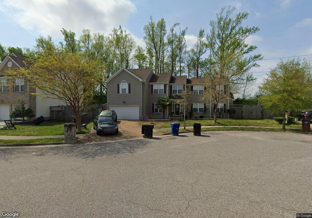
1709 Brigands Way Virginia Beach, VA 23453
Green Run NeighborhoodEstimated Value: $508,294 - $561,000
4
Beds
3
Baths
2,294
Sq Ft
$229/Sq Ft
Est. Value
About This Home
This home is located at 1709 Brigands Way, Virginia Beach, VA 23453 and is currently estimated at $524,824, approximately $228 per square foot. 1709 Brigands Way is a home located in Virginia Beach City with nearby schools including Landstown Elementary School, Landstown Middle School, and Landstown High School.
Ownership History
Date
Name
Owned For
Owner Type
Purchase Details
Closed on
Aug 20, 2008
Sold by
Lenhart Shawn N
Bought by
Smith Frederick J
Current Estimated Value
Home Financials for this Owner
Home Financials are based on the most recent Mortgage that was taken out on this home.
Original Mortgage
$305,428
Outstanding Balance
$201,148
Interest Rate
6.4%
Mortgage Type
VA
Estimated Equity
$323,676
Create a Home Valuation Report for This Property
The Home Valuation Report is an in-depth analysis detailing your home's value as well as a comparison with similar homes in the area
Home Values in the Area
Average Home Value in this Area
Purchase History
| Date | Buyer | Sale Price | Title Company |
|---|---|---|---|
| Smith Frederick J | $299,000 | -- |
Source: Public Records
Mortgage History
| Date | Status | Borrower | Loan Amount |
|---|---|---|---|
| Open | Smith Frederick J | $305,428 |
Source: Public Records
Tax History Compared to Growth
Tax History
| Year | Tax Paid | Tax Assessment Tax Assessment Total Assessment is a certain percentage of the fair market value that is determined by local assessors to be the total taxable value of land and additions on the property. | Land | Improvement |
|---|---|---|---|---|
| 2025 | -- | $471,600 | $155,000 | $316,600 |
| 2024 | $4,187 | $422,900 | $144,000 | $278,900 |
| 2023 | $4,057 | $409,800 | $130,900 | $278,900 |
| 2022 | $4,026 | $406,700 | $130,900 | $275,800 |
| 2021 | $3,441 | $347,600 | $119,000 | $228,600 |
| 2020 | $3,192 | $313,700 | $106,000 | $207,700 |
| 2019 | $3,217 | $307,900 | $101,000 | $206,900 |
| 2018 | $3,087 | $307,900 | $101,000 | $206,900 |
| 2017 | $3,087 | $307,900 | $101,000 | $206,900 |
| 2016 | $2,905 | $293,400 | $96,000 | $197,400 |
| 2015 | $2,627 | $265,400 | $88,000 | $177,400 |
| 2014 | $2,234 | $270,300 | $96,800 | $173,500 |
Source: Public Records
Map
Nearby Homes
- 1709 Purpose Dr
- 1721 Purpose Dr
- 1804 Monet Ct
- 1808 Allaben Ct
- 1960 Nettle St
- 3060 Glastonbury Dr
- 3544 Light Horse Loop
- 3104 Bloomfield Ct
- 3216 Winterberry Ct
- 3764 Purebred Dr
- 3756 Purebred Dr
- 1469 Stalls Way
- 3701 Canadian Arch
- 3554 Brigita Ct
- 3416 Crimson Holly Ct
- 1305 Snowflake Cir
- 2020 Aloma Dr
- 1304 Eagle Ave
- 1201 Green Cedar Ln
- 3707 Sylvan Ln
- 1717 Brigands Way
- 1756 S Rosemont Rd
- 1721 Brigands Way
- 1705 Brigands Way
- 1712 Brigands Way
- 1700 Brigands Way
- 1716 Brigands Way
- 1708 Brigands Way
- 1704 Brigands Way
- 1725 Brigands Way
- 1720 Brigands Way
- 1705 Schooner Strait Ct
- 1729 Brigands Way
- 1724 Brigands Way
- 1709 Schooner Strait Ct
- 1713 Schooner Strait Ct
- 1733 Brigands Way
- 1728 Brigands Way
- 1700 Schooner Strait Ct
- 1717 Schooner Strait Ct