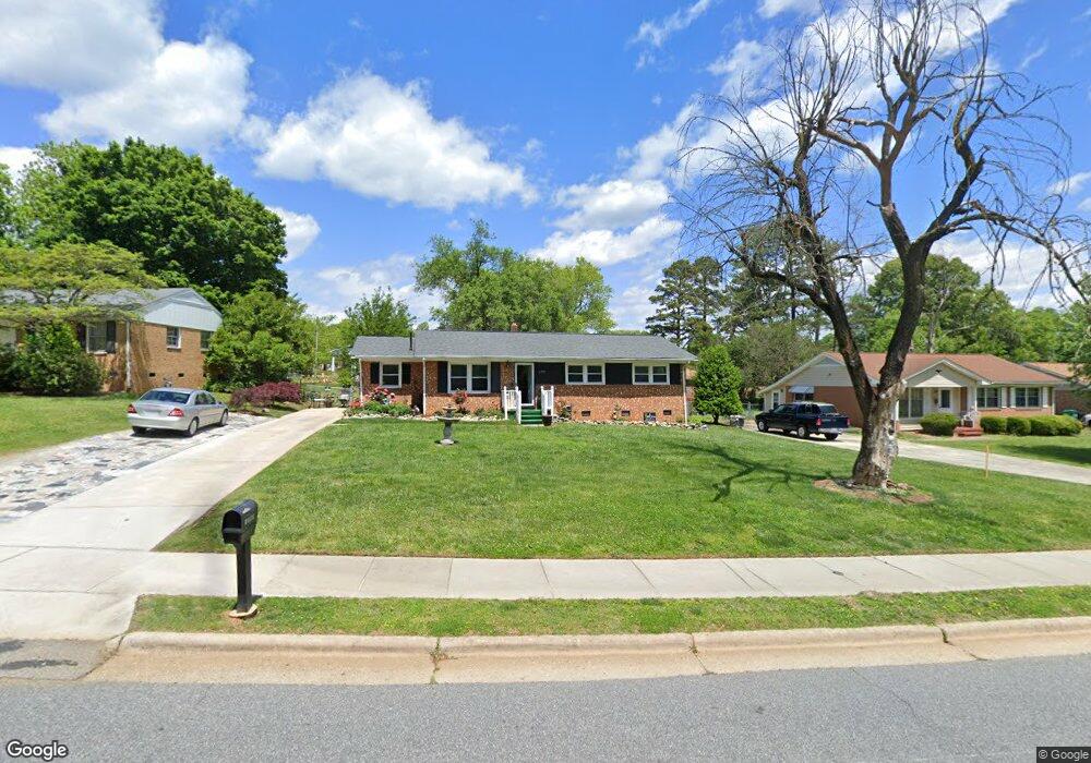
1709 Cedrow Dr High Point, NC 27260
Greater High Point NeighborhoodEstimated Value: $166,000 - $204,000
3
Beds
2
Baths
1,298
Sq Ft
$138/Sq Ft
Est. Value
About This Home
This home is located at 1709 Cedrow Dr, High Point, NC 27260 and is currently estimated at $179,549, approximately $138 per square foot. 1709 Cedrow Dr is a home located in Guilford County with nearby schools including Jamestown Elementary School, Southwest Guilford Middle School, and Southwest Guilford High School.
Ownership History
Date
Name
Owned For
Owner Type
Purchase Details
Closed on
Mar 26, 2008
Sold by
Clodfelter Bruce S and Clodfelter Janet W
Bought by
Harris Roger Lee and Harris Dorothy D
Current Estimated Value
Home Financials for this Owner
Home Financials are based on the most recent Mortgage that was taken out on this home.
Original Mortgage
$70,000
Outstanding Balance
$50,497
Interest Rate
5.97%
Mortgage Type
Purchase Money Mortgage
Estimated Equity
$129,052
Purchase Details
Closed on
May 29, 1997
Bought by
Murphy Clara
Create a Home Valuation Report for This Property
The Home Valuation Report is an in-depth analysis detailing your home's value as well as a comparison with similar homes in the area
Home Values in the Area
Average Home Value in this Area
Purchase History
| Date | Buyer | Sale Price | Title Company |
|---|---|---|---|
| Harris Roger Lee | $77,000 | None Available | |
| Murphy Clara | -- | -- |
Source: Public Records
Mortgage History
| Date | Status | Borrower | Loan Amount |
|---|---|---|---|
| Open | Harris Roger Lee | $70,000 |
Source: Public Records
Tax History
| Year | Tax Paid | Tax Assessment Tax Assessment Total Assessment is a certain percentage of the fair market value that is determined by local assessors to be the total taxable value of land and additions on the property. | Land | Improvement |
|---|---|---|---|---|
| 2025 | $794 | $115,300 | $25,000 | $90,300 |
| 2024 | $794 | $115,300 | $25,000 | $90,300 |
| 2023 | $794 | $115,300 | $25,000 | $90,300 |
| 2022 | $777 | $115,300 | $25,000 | $90,300 |
| 2021 | $493 | $71,600 | $13,000 | $58,600 |
| 2020 | $987 | $71,600 | $13,000 | $58,600 |
| 2019 | $987 | $71,600 | $0 | $0 |
| 2018 | $982 | $71,600 | $0 | $0 |
| 2017 | $987 | $71,600 | $0 | $0 |
| 2016 | $1,001 | $71,400 | $0 | $0 |
| 2015 | $1,007 | $71,400 | $0 | $0 |
| 2014 | $1,024 | $71,400 | $0 | $0 |
Source: Public Records
Map
Nearby Homes
- 600 Hendrix St
- 1456 London Dr
- 1451 Finsbury Ln
- 615 Hendrix St
- 3206 Crestview Dr
- 120 Orville Dr
- 735 Hendrix St
- 737 Hendrix St
- 122 Orville Dr
- 206 Paramount St
- 2305 Delaware Place
- 3215 E Martin Luther King Junior Dr
- 509 Valleybrook Dr
- 307 Brookview Cir
- 224 Friendly Ave
- 222 Charles Ave
- 632 Wrenn Forest St
- 1227 Greensboro Rd
- 3335 Wiliton Way
- 2715 Central Ave
- 1707 Cedrow Dr
- 1711 Cedrow Dr
- 1705 Cedrow Dr
- 1713 Cedrow Dr
- 1706 Oberlin Dr
- 1708 Oberlin Dr
- 1704 Oberlin Dr
- 1710 Oberlin Dr
- 1715 Cedrow Dr
- 1703 Cedrow Dr
- 1716 Cedrow Dr
- 1714 Cedrow Dr
- 1712 Cedrow Dr
- 1702 Oberlin Dr
- 1710 Cedrow Dr
- 1708 Cedrow Dr
- 1712 Oberlin Dr
- 1717 Cedrow Dr
- 1706 Cedrow Dr
- 400 Runyon Dr
Your Personal Tour Guide
Ask me questions while you tour the home.