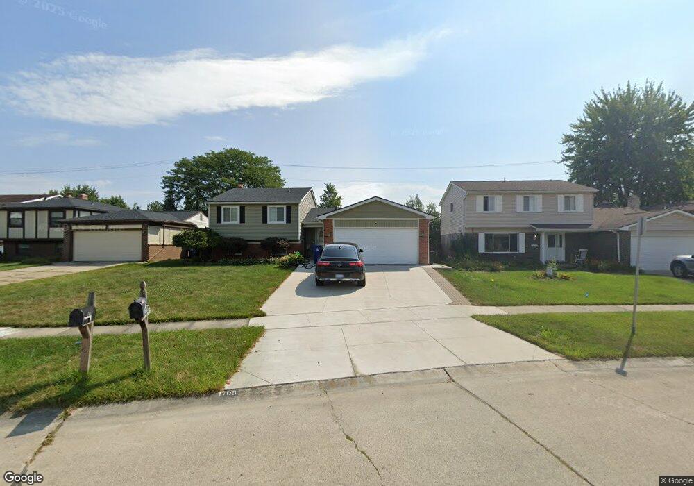
1709 Copeland Cir Canton, MI 48187
Estimated Value: $377,015 - $394,000
4
Beds
3
Baths
1,885
Sq Ft
$204/Sq Ft
Est. Value
About This Home
This home is located at 1709 Copeland Cir, Canton, MI 48187 and is currently estimated at $385,254, approximately $204 per square foot. 1709 Copeland Cir is a home located in Wayne County with nearby schools including Canton High School, Discovery Middle School, and Salem High School.
Ownership History
Date
Name
Owned For
Owner Type
Purchase Details
Closed on
Feb 7, 2025
Sold by
Bowles Monique V and Swain Monique V
Bought by
Revocable Living Trust Of Monique V Swain and Swain
Current Estimated Value
Purchase Details
Closed on
Nov 22, 2016
Sold by
Swain Monique V and Bowles Moniqe V
Bought by
Swain Monique V
Home Financials for this Owner
Home Financials are based on the most recent Mortgage that was taken out on this home.
Original Mortgage
$107,855
Interest Rate
3.25%
Mortgage Type
FHA
Purchase Details
Closed on
Dec 13, 2010
Sold by
Lee Seekee
Bought by
Bowles Monique
Create a Home Valuation Report for This Property
The Home Valuation Report is an in-depth analysis detailing your home's value as well as a comparison with similar homes in the area
Home Values in the Area
Average Home Value in this Area
Purchase History
| Date | Buyer | Sale Price | Title Company |
|---|---|---|---|
| Revocable Living Trust Of Monique V Swain | -- | None Listed On Document | |
| Swain Monique V | -- | None Available | |
| Bowles Monique | $122,900 | None Available |
Source: Public Records
Mortgage History
| Date | Status | Borrower | Loan Amount |
|---|---|---|---|
| Previous Owner | Swain Monique V | $107,855 |
Source: Public Records
Tax History Compared to Growth
Tax History
| Year | Tax Paid | Tax Assessment Tax Assessment Total Assessment is a certain percentage of the fair market value that is determined by local assessors to be the total taxable value of land and additions on the property. | Land | Improvement |
|---|---|---|---|---|
| 2025 | $1,767 | $162,000 | $0 | $0 |
| 2024 | $1,767 | $150,300 | $0 | $0 |
| 2023 | $1,684 | $139,300 | $0 | $0 |
| 2022 | $3,721 | $120,200 | $0 | $0 |
| 2021 | $3,610 | $114,900 | $0 | $0 |
| 2020 | $3,564 | $114,800 | $0 | $0 |
| 2019 | $3,502 | $105,790 | $0 | $0 |
| 2018 | $1,432 | $106,380 | $0 | $0 |
| 2017 | $3,553 | $100,100 | $0 | $0 |
| 2016 | $3,145 | $99,600 | $0 | $0 |
| 2015 | $7,758 | $91,790 | $0 | $0 |
| 2013 | $7,516 | $82,740 | $0 | $0 |
| 2010 | -- | $78,130 | $36,604 | $41,526 |
Source: Public Records
Map
Nearby Homes
- 42479 Redfern St
- 1494 Ranier Blvd
- 41708 Bedford Dr
- 41715 Bedford Dr
- 42540 Lilley Pointe Dr
- 42473 Lilley Pointe Dr Unit 39
- 41659 Metaline Dr
- 42771 Lilley Pointe Dr Unit 154
- 42075 Gloria Dr
- 42789 Lilley Pointe Dr Unit 146
- 829 Glenulline Dr
- 41512 Bedford Dr
- 5887 Northford
- 41878 Ravenwood St
- 1322 Saltz Ct
- 1796 Oakview Dr
- 58560 Stuart Dr
- 6011 Beaufort Dr
- 407 N Willard Rd
- 43530 Westminister Way
- 1697 Copeland Cir
- 1721 Copeland Cir
- 1733 Copeland Cir
- 1685 Copeland Cir
- 1745 Copeland Cir
- 1726 Copeland Cir
- 1673 Copeland Cir
- 1650 Copeland Cir
- 1475 Walnut Ridge Cir
- 1738 Copeland Cir
- 1463 Walnut Ridge Cir
- 1757 Copeland Cir
- 1487 Walnut Ridge Cir
- 1661 Copeland Cir
- 1499 Walnut Ridge Cir
- 1451 Walnut Ridge Cir
- 1649 Copeland Cir
- 1752 Copeland Cir
- 1626 Copeland Cir
- 1439 Walnut Ridge Cir