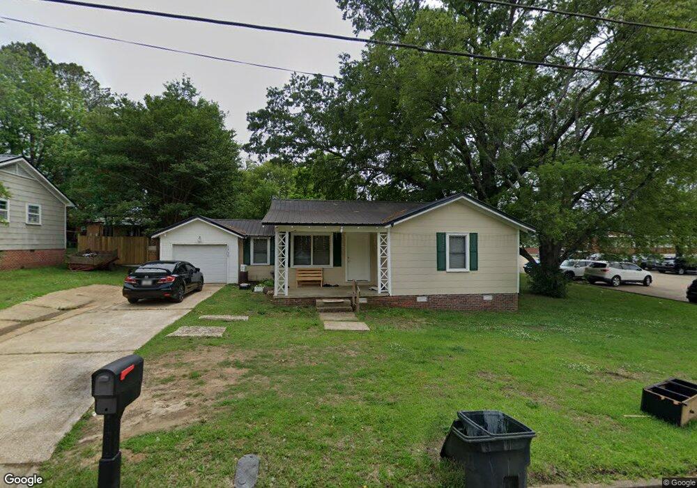
1709 Forrest Dr Tupelo, MI 38801
Estimated Value: $88,000 - $122,000
2
Beds
1
Bath
1,152
Sq Ft
$90/Sq Ft
Est. Value
About This Home
This home is located at 1709 Forrest Dr, Tupelo, MI 38801 and is currently estimated at $104,068, approximately $90 per square foot. 1709 Forrest Dr is a home located in Lee County with nearby schools including Rankin Elementary School, Joyner Elementary School, and Tupelo Middle School.
Ownership History
Date
Name
Owned For
Owner Type
Purchase Details
Closed on
Jan 13, 2021
Sold by
First Baptist Church Of Tupelo
Bought by
Sattrakoune Soawanee and Timratthana Kobchai
Current Estimated Value
Purchase Details
Closed on
Dec 28, 2019
Bought by
First Baptist Church Of Tupelo
Purchase Details
Closed on
Jul 30, 2012
Sold by
Federal National Mortgage Association
Bought by
Leckie Charles Douglas
Home Financials for this Owner
Home Financials are based on the most recent Mortgage that was taken out on this home.
Original Mortgage
$24,088
Interest Rate
3.68%
Create a Home Valuation Report for This Property
The Home Valuation Report is an in-depth analysis detailing your home's value as well as a comparison with similar homes in the area
Purchase History
| Date | Buyer | Sale Price | Title Company |
|---|---|---|---|
| Sattrakoune Soawanee | -- | None Available | |
| First Baptist Church Of Tupelo | $24,000 | -- | |
| Leckie Charles Douglas | -- | -- |
Source: Public Records
Mortgage History
| Date | Status | Borrower | Loan Amount |
|---|---|---|---|
| Previous Owner | Leckie Charles Douglas | $24,088 |
Source: Public Records
Tax History
| Year | Tax Paid | Tax Assessment Tax Assessment Total Assessment is a certain percentage of the fair market value that is determined by local assessors to be the total taxable value of land and additions on the property. | Land | Improvement |
|---|---|---|---|---|
| 2025 | $1,320 | $9,708 | $0 | $0 |
| 2024 | $1,320 | $9,708 | $0 | $0 |
| 2023 | $1,114 | $8,171 | $0 | $0 |
| 2022 | $1,094 | $8,171 | $0 | $0 |
| 2021 | $0 | $0 | $0 | $0 |
| 2020 | $1,054 | $0 | $0 | $0 |
| 2019 | $1,054 | $7,872 | $0 | $0 |
| 2018 | $1,054 | $7,872 | $0 | $0 |
| 2017 | $1,050 | $7,872 | $0 | $0 |
| 2016 | $1,050 | $7,872 | $0 | $0 |
| 2015 | $445 | $4,794 | $0 | $0 |
| 2014 | $445 | $4,794 | $0 | $0 |
Source: Public Records
Map
Nearby Homes
- 123 Enoch Ave
- 1527 Boggan Dr
- 1603 Boggan Dr
- 1523 Boggan Dr
- 404 Smith St
- 400 Smith St
- 214 Nanney Dr
- 2306 Woods St
- 219 Lakeview Dr
- 1338 W Jackson St
- 0 Leonard Dr
- 355 Rankin Blvd
- 401 S Foster Dr
- 405 S Foster Dr
- 141 1802 West Jackson St
- 0 W Jackson St
- 302 Hillfield Cove
- 414 N Thomas St
- 1606 Lambard Dr
- 1129 W Jackson St
- 1709 Forrest St
- 1707 Forrest St
- 1707 Forrest St
- 1710 Stephen D Lee St
- 1708 Forrest St
- 1710 Forrest St
- 1705 Forrest St
- 1708 Stephen D Lee St
- 1708 Forrest St
- 1704 Forrest St
- 205 Stephen D Lee
- 110 Bonnie
- 406 Exchange St
- 406 Exchange St
- 1613 Forrest St
- 1614 Forrest St
- 1614 Forrest St
- 1612 Forrest St
- 208 Bowen St
- 1611 Forrest St
Your Personal Tour Guide
Ask me questions while you tour the home.