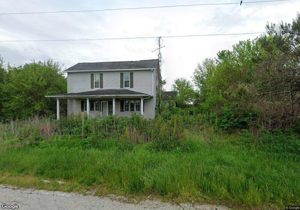
1709 Il Route 48 Taylorville, IL 62568
Estimated Value: $153,000 - $252,000
3
Beds
--
Bath
736
Sq Ft
$284/Sq Ft
Est. Value
About This Home
This home is located at 1709 Il Route 48, Taylorville, IL 62568 and is currently estimated at $208,858, approximately $283 per square foot. 1709 Il Route 48 is a home located in Christian County with nearby schools including Stonington Elementary School, Taylorville Junior High School, and Taylorville Senior High School.
Ownership History
Date
Name
Owned For
Owner Type
Purchase Details
Closed on
Jun 20, 2008
Sold by
Rightnowar David S and Rightnowar Winnona J
Bought by
Beard Robert J
Current Estimated Value
Home Financials for this Owner
Home Financials are based on the most recent Mortgage that was taken out on this home.
Original Mortgage
$126,350
Outstanding Balance
$80,704
Interest Rate
5.96%
Mortgage Type
New Conventional
Estimated Equity
$128,154
Create a Home Valuation Report for This Property
The Home Valuation Report is an in-depth analysis detailing your home's value as well as a comparison with similar homes in the area
Home Values in the Area
Average Home Value in this Area
Purchase History
| Date | Buyer | Sale Price | Title Company |
|---|---|---|---|
| Beard Robert J | $133,000 | Advanced Title Gorup Inc |
Source: Public Records
Mortgage History
| Date | Status | Borrower | Loan Amount |
|---|---|---|---|
| Open | Beard Robert J | $126,350 |
Source: Public Records
Tax History Compared to Growth
Tax History
| Year | Tax Paid | Tax Assessment Tax Assessment Total Assessment is a certain percentage of the fair market value that is determined by local assessors to be the total taxable value of land and additions on the property. | Land | Improvement |
|---|---|---|---|---|
| 2024 | $2,942 | $46,442 | $10,358 | $36,084 |
| 2023 | $2,836 | $43,640 | $9,733 | $33,907 |
| 2022 | $2,667 | $45,295 | $10,858 | $34,437 |
| 2021 | $2,532 | $43,448 | $10,415 | $33,033 |
| 2020 | $2,542 | $43,448 | $10,415 | $33,033 |
| 2019 | $2,454 | $42,747 | $10,247 | $32,500 |
| 2018 | $2,752 | $46,927 | $10,015 | $36,912 |
| 2017 | $2,746 | $46,726 | $9,972 | $36,754 |
| 2016 | $2,378 | $45,809 | $9,776 | $36,033 |
| 2015 | $2,192 | $41,881 | $8,938 | $32,943 |
| 2014 | $2,292 | $41,000 | $8,750 | $32,250 |
| 2013 | $2,283 | $43,196 | $7,543 | $35,653 |
| 2011 | $2,262 | $43,196 | $7,543 | $35,653 |
Source: Public Records
Map
Nearby Homes
- 1725 Il Route 48
- 1798 E 1685 Rd N
- 0 N 1400 Rd E
- 3415 Lincoln Trail
- 703 Glenhill Rd
- 310 S Pine St
- 105 S Maple St
- 113 S Locust
- 524 Lakeside Dr
- 910 E Heights Ave
- 1918 Greenview
- 810 N Snodgrass St
- 1015 E Elm St
- 117 S Pershing Ave
- 1221 E Park St
- 0 Illinois 29
- 100 E Heights Ave Unit 9
- 14 Brantley Ct
- 513 E Oak St
- 7 Brantley Ct