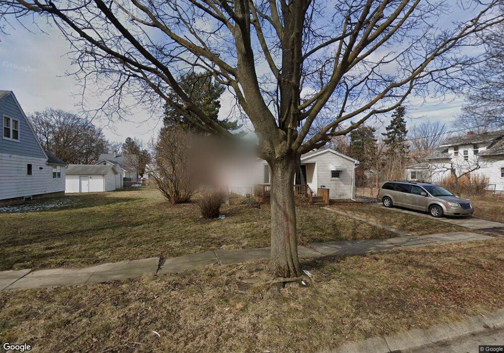
1709 N Cumberland St Flint, MI 48506
Eastside NeighborhoodEstimated Value: $22,000 - $55,000
2
Beds
1
Bath
756
Sq Ft
$54/Sq Ft
Est. Value
About This Home
This home is located at 1709 N Cumberland St, Flint, MI 48506 and is currently estimated at $40,530, approximately $53 per square foot. 1709 N Cumberland St is a home located in Genesee County with nearby schools including Potter School, Flint Cultural Center Academy, and WAY Academy of Flint.
Ownership History
Date
Name
Owned For
Owner Type
Purchase Details
Closed on
Nov 18, 2020
Sold by
Week Shaun F
Bought by
Weck Teresa Mary
Current Estimated Value
Purchase Details
Closed on
Jul 30, 2015
Sold by
Carr Alison
Bought by
Weck Shaun F
Purchase Details
Closed on
Mar 10, 1999
Sold by
Proffer Thomas L
Bought by
Kolhagen David S
Home Financials for this Owner
Home Financials are based on the most recent Mortgage that was taken out on this home.
Original Mortgage
$45,900
Interest Rate
6.8%
Mortgage Type
VA
Create a Home Valuation Report for This Property
The Home Valuation Report is an in-depth analysis detailing your home's value as well as a comparison with similar homes in the area
Home Values in the Area
Average Home Value in this Area
Purchase History
| Date | Buyer | Sale Price | Title Company |
|---|---|---|---|
| Weck Teresa Mary | -- | None Available | |
| Weck Shaun F | $10,000 | Cislo Title Co | |
| Kolhagen David S | $45,000 | Centennial Title Co |
Source: Public Records
Mortgage History
| Date | Status | Borrower | Loan Amount |
|---|---|---|---|
| Previous Owner | Kolhagen David S | $45,900 |
Source: Public Records
Tax History Compared to Growth
Tax History
| Year | Tax Paid | Tax Assessment Tax Assessment Total Assessment is a certain percentage of the fair market value that is determined by local assessors to be the total taxable value of land and additions on the property. | Land | Improvement |
|---|---|---|---|---|
| 2025 | $760 | $13,800 | $0 | $0 |
| 2024 | $696 | $12,900 | $0 | $0 |
| 2023 | $689 | $12,000 | $0 | $0 |
| 2022 | $0 | $8,900 | $0 | $0 |
| 2021 | $710 | $10,200 | $0 | $0 |
| 2020 | $649 | $10,000 | $0 | $0 |
| 2019 | $1,097 | $7,900 | $0 | $0 |
| 2018 | $1,302 | $9,000 | $0 | $0 |
| 2017 | $607 | $0 | $0 | $0 |
| 2016 | $607 | $0 | $0 | $0 |
| 2015 | -- | $0 | $0 | $0 |
| 2014 | -- | $0 | $0 | $0 |
| 2012 | -- | $9,700 | $0 | $0 |
Source: Public Records
Map
Nearby Homes
- 1510 N Vernon Ave
- 2610 Pennsylvania Ave
- 1622 Arlington Ave
- 2426 Missouri Ave
- 2301 Missouri Ave
- 2211 Torrance St
- 1501 Arlington Ave
- 2605 Nebraska Ave
- 2426 Hoff St
- 2225 Arlington Ave
- 1318 Cronk Ave
- 1805 Bennett Ave
- 1814 Mabel Ave
- 2506 Arlington Ave
- 1644 Pennsylvania Ave
- 301 Chandler St
- 3205 Holly Ave
- 1605 Kearsley Park Blvd
- 3149 Whittier Ave
- 3116 Beechwood Ave
- 1701 N Cumberland St
- 1717 N Cumberland St
- 1710 Levern St
- 1706 Levern St
- 1714 Levern St
- 1702 Levern St
- 1718 Levern St
- 2522 Davison Rd
- 2512 Davison Rd
- 1714 N Cumberland St
- 2601 Illinois Ave
- 2502 Illinois Ave
- 1722 N Cumberland St
- 2506 Illinois Ave
- 2436 Illinois Ave
- 2432 Illinois Ave
- 2514 Illinois Ave
- 2602 Davison Rd
- 2419 Illinois Ave
- 2602 Illinois Ave