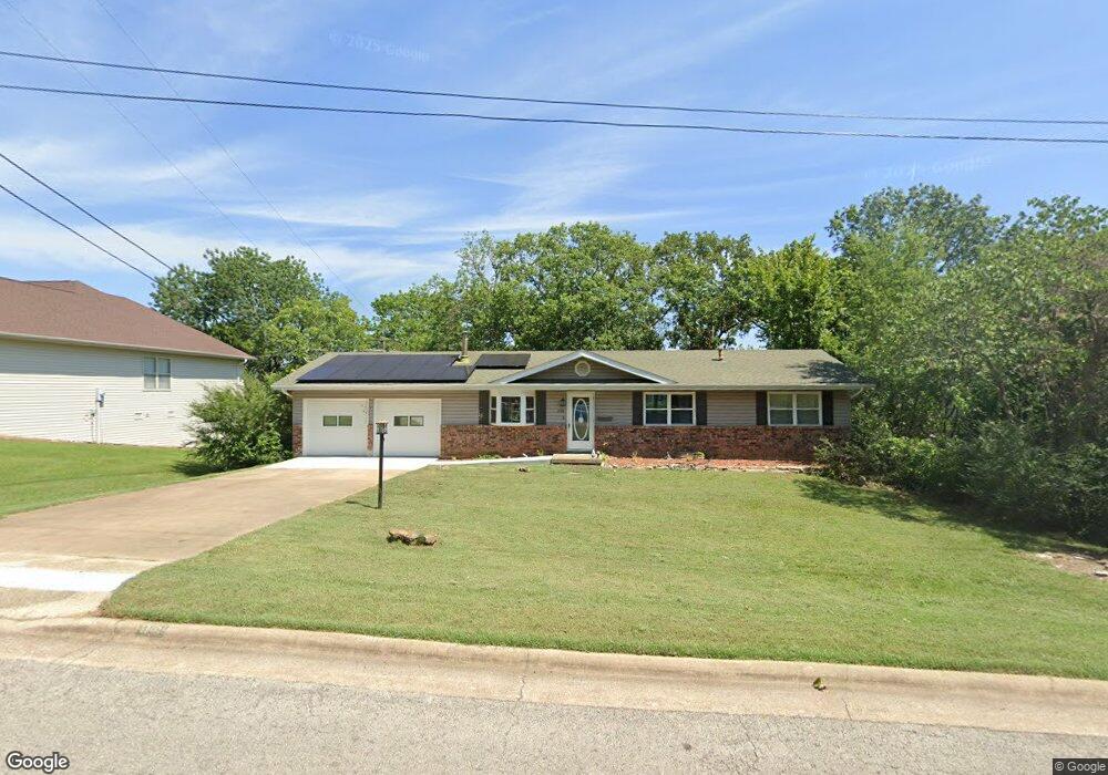
1709 Neihardt Ave Branson, MO 65616
North Branson NeighborhoodEstimated Value: $255,000 - $276,000
3
Beds
2
Baths
1,269
Sq Ft
$208/Sq Ft
Est. Value
About This Home
This home is located at 1709 Neihardt Ave, Branson, MO 65616 and is currently estimated at $263,646, approximately $207 per square foot. 1709 Neihardt Ave is a home located in Taney County with nearby schools including Cedar Ridge Primary, Cedar Ridge Intermediate School, and Cedar Ridge Elementary School.
Ownership History
Date
Name
Owned For
Owner Type
Purchase Details
Closed on
Jul 30, 2021
Sold by
Davis Michael W and Davis Jordan E
Bought by
Thorau Janice
Current Estimated Value
Home Financials for this Owner
Home Financials are based on the most recent Mortgage that was taken out on this home.
Original Mortgage
$226,260
Outstanding Balance
$204,946
Interest Rate
2.93%
Mortgage Type
New Conventional
Estimated Equity
$58,700
Purchase Details
Closed on
Mar 2, 2010
Sold by
Davis Anneke M
Bought by
Davis Michael W
Create a Home Valuation Report for This Property
The Home Valuation Report is an in-depth analysis detailing your home's value as well as a comparison with similar homes in the area
Home Values in the Area
Average Home Value in this Area
Purchase History
| Date | Buyer | Sale Price | Title Company |
|---|---|---|---|
| Thorau Janice | -- | None Available | |
| Davis Michael W | -- | -- |
Source: Public Records
Mortgage History
| Date | Status | Borrower | Loan Amount |
|---|---|---|---|
| Open | Thorau Janice | $226,260 |
Source: Public Records
Tax History Compared to Growth
Tax History
| Year | Tax Paid | Tax Assessment Tax Assessment Total Assessment is a certain percentage of the fair market value that is determined by local assessors to be the total taxable value of land and additions on the property. | Land | Improvement |
|---|---|---|---|---|
| 2025 | $995 | $16,900 | -- | -- |
| 2023 | $995 | $18,610 | $0 | $0 |
| 2022 | $968 | $18,610 | $0 | $0 |
| 2021 | $961 | $18,610 | $0 | $0 |
| 2019 | $896 | $16,620 | $0 | $0 |
| 2018 | $896 | $16,620 | $0 | $0 |
| 2017 | $830 | $15,540 | $0 | $0 |
| 2016 | $828 | $15,540 | $0 | $0 |
| 2015 | $820 | $15,540 | $0 | $0 |
| 2014 | $750 | $14,890 | $0 | $0 |
Source: Public Records
Map
Nearby Homes
- 1709 Neihardt St
- 141 Rose Oneill Dr
- Lot 22 Rose Oneill Dr
- 508 Truman Dr
- 1838 W 76 Country Blvd
- 0 Roark Valley Rd
- Tbd Roark Valley Rd
- 000 Roark Valley Rd
- 000 Forsyth St Roark Valley Rd
- 1912 Fall Creek Rd Unit C
- 000 W St
- 1293 Hillcrest Place Unit A&B
- 1211 W 76 Country Blvd
- 0 Summerwood Dr Unit 60304411
- 0 Summerwood Dr Unit 60307843
- 000 Frank Rea Scott Blvd
- 103 Della St
- TBD Frank Rea Blvd
- 0 Frank Rea Blvd Unit Lot WP00I
- TBD Frank Rea Blvd Unit Lot F3
- 1711 Neihardt St
- 1707 Neihardt St
- Tbd Neihardt Ave
- 111 Neihardt Ave
- 1712 Neihardt St
- 1713 Neihardt St
- 1710 Neihardt St
- 1710 Neihardt Ave
- 1705 Neihardt St
- 1714 Neihardt St
- 1713 Neihardt Ave
- 1714 Neihardt Ave
- 313 Truman Dr
- 1716 Neihardt Ave
- 1708 Neihardt St
- 310 Truman Dr
- 1716 Neihardt St
- 1715 Neihardt Ave
- 1715 Neihardt St
- 308 Truman Dr