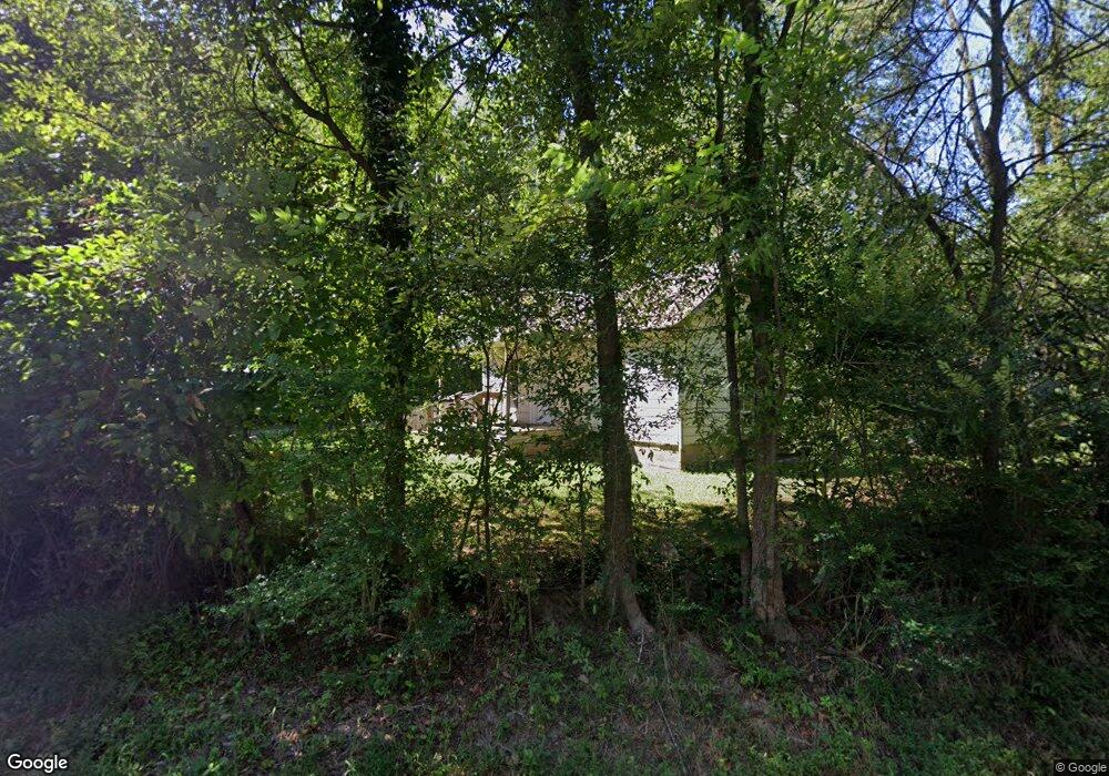
1709 Ray Dr NE Dalton, GA 30721
Estimated Value: $121,638 - $212,000
--
Bed
--
Bath
1,109
Sq Ft
$157/Sq Ft
Est. Value
About This Home
This home is located at 1709 Ray Dr NE, Dalton, GA 30721 and is currently estimated at $174,410, approximately $157 per square foot. 1709 Ray Dr NE is a home with nearby schools including Pleasant Grove Elementary School, New Hope Middle School, and Northwest Whitfield County High School.
Ownership History
Date
Name
Owned For
Owner Type
Purchase Details
Closed on
Aug 7, 2024
Sold by
Mason Mary Jane
Bought by
Cooper Robin Lamar and Cooper Terri Lovonne
Current Estimated Value
Purchase Details
Closed on
Jul 25, 2024
Sold by
Mller John Martin
Bought by
Mason Mary Jane
Purchase Details
Closed on
Mar 5, 2014
Sold by
Miller J L
Bought by
Miller John Martin
Purchase Details
Closed on
Dec 31, 2008
Sold by
Not Provided
Bought by
Developmen Andrews Satterfield
Create a Home Valuation Report for This Property
The Home Valuation Report is an in-depth analysis detailing your home's value as well as a comparison with similar homes in the area
Home Values in the Area
Average Home Value in this Area
Purchase History
| Date | Buyer | Sale Price | Title Company |
|---|---|---|---|
| Cooper Robin Lamar | -- | None Listed On Document | |
| Cooper Robin Lamar | -- | None Listed On Document | |
| Mason Mary Jane | -- | None Listed On Document | |
| Miller John Martin | -- | -- | |
| Developmen Andrews Satterfield | -- | -- |
Source: Public Records
Tax History Compared to Growth
Tax History
| Year | Tax Paid | Tax Assessment Tax Assessment Total Assessment is a certain percentage of the fair market value that is determined by local assessors to be the total taxable value of land and additions on the property. | Land | Improvement |
|---|---|---|---|---|
| 2024 | $650 | $42,646 | $4,245 | $38,401 |
| 2023 | $650 | $21,602 | $3,357 | $18,245 |
| 2022 | $447 | $15,153 | $2,830 | $12,323 |
| 2021 | $447 | $15,153 | $2,830 | $12,323 |
| 2020 | $462 | $15,153 | $2,830 | $12,323 |
| 2019 | $470 | $15,153 | $2,830 | $12,323 |
| 2018 | $462 | $14,669 | $2,346 | $12,323 |
| 2017 | $462 | $14,669 | $2,346 | $12,323 |
| 2016 | $411 | $13,554 | $2,346 | $11,208 |
| 2014 | $377 | $13,998 | $2,791 | $11,208 |
| 2013 | -- | $13,998 | $2,790 | $11,207 |
Source: Public Records
Map
Nearby Homes
- 153 Cochran Dr NE
- 2700 Lynn Dr
- 305 Kay Dr NE
- Hamilton Plan at The Andros
- Bradley Plan at The Andros
- Walker Plan at The Andros
- Whitfield Plan at The Andros
- 204 Andros Dr
- 204 Andros Dr Unit 19C
- 143 Andros Loop Unit 2b
- 200 Andros Dr Unit 19A
- 195 Andros Drives
- 193 Andros Drives
- 175 Andros Dr
- 186 Andros Dr
- 236 Camden Way Unit 51
- 2616 Cleveland Hwy
- 0 Andros Dr
- 143 Andros Drives
- 141 Andros Dr
- 1706 Ray Dr NE
- 1644 Pleasant Grove Dr NE
- 1690 Pleasant Grove Dr NE
- 1694 Pleasant Grove Dr NE
- 1645 Pleasant Grove Dr NE
- 1799 Ray Dr
- 2804 Lynn Dr
- 1714 Pleasant Grove Dr NE
- 2802 Lynn Dr
- 1753 Ray Dr NE
- 1717 Pleasant Grove Dr NE
- 1617 Pleasant Grove Dr NE
- 2800 Lynn Dr
- 2029 Creekwood Ln NE
- 1700 Pleasant Grove Dr NE
- 1803 St Ives Place
- 1803 Saint Ives Way
- 2803 Lynn Dr
- 2708 Lynn Dr
- 2801 Lynn Dr