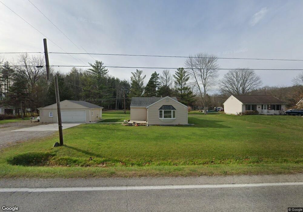
1709 Richman Rd Kimball, MI 48074
Estimated Value: $53,000 - $209,000
--
Bed
1
Bath
--
Sq Ft
1.2
Acres
About This Home
This home is located at 1709 Richman Rd, Kimball, MI 48074 and is currently estimated at $120,667. 1709 Richman Rd is a home located in St. Clair County with nearby schools including Kimball Elementary School, Central Middle School, and Port Huron High School.
Ownership History
Date
Name
Owned For
Owner Type
Purchase Details
Closed on
May 31, 2017
Sold by
Selco Developments Llc
Bought by
Seely Paul R and Seely Ryan P
Current Estimated Value
Purchase Details
Closed on
Aug 22, 2016
Sold by
Seely Ryan P
Bought by
Selco Developments Llc
Purchase Details
Closed on
Mar 31, 2014
Sold by
Fannie Mae
Bought by
Seely Ryan
Purchase Details
Closed on
Oct 10, 2013
Sold by
Jpmorgan Chase Bank National Association
Bought by
Federal National Mortgage Association
Purchase Details
Closed on
Aug 15, 2013
Sold by
Goodman Charles and Mustain Luann
Bought by
Jpmorgan Chase Bank National Association
Create a Home Valuation Report for This Property
The Home Valuation Report is an in-depth analysis detailing your home's value as well as a comparison with similar homes in the area
Home Values in the Area
Average Home Value in this Area
Purchase History
| Date | Buyer | Sale Price | Title Company |
|---|---|---|---|
| Seely Paul R | -- | None Available | |
| Selco Developments Llc | -- | None Available | |
| Seely Ryan | $16,500 | None Available | |
| Federal National Mortgage Association | -- | None Available | |
| Jpmorgan Chase Bank National Association | $69,913 | None Available |
Source: Public Records
Tax History Compared to Growth
Tax History
| Year | Tax Paid | Tax Assessment Tax Assessment Total Assessment is a certain percentage of the fair market value that is determined by local assessors to be the total taxable value of land and additions on the property. | Land | Improvement |
|---|---|---|---|---|
| 2025 | $443 | $22,300 | $0 | $0 |
| 2024 | $251 | $22,600 | $0 | $0 |
| 2023 | $230 | $22,200 | $0 | $0 |
| 2022 | $396 | $19,200 | $0 | $0 |
| 2021 | $357 | $17,900 | $0 | $0 |
| 2020 | $357 | $18,300 | $18,300 | $0 |
| 2019 | $351 | $17,200 | $0 | $0 |
| 2018 | $342 | $14,000 | $0 | $0 |
| 2017 | $311 | $12,700 | $0 | $0 |
| 2016 | $400 | $12,700 | $0 | $0 |
| 2015 | -- | $12,400 | $12,400 | $0 |
| 2014 | -- | $10,900 | $10,900 | $0 |
| 2013 | -- | $13,100 | $0 | $0 |
Source: Public Records
Map
Nearby Homes
- 1533 Richman Rd
- 1900 Burns Rd
- 1688 Sturdevant Rd
- 0 Sparling Rd Unit 2210034403
- 1371 Sturdevant Rd
- 6417 Dove Rd
- 1261 Sturdevant Rd
- VL Lambs Rd
- 7710 Sparling Rd
- 0 Sparling Unit 20230091288
- 1671 Ditty Rd
- 00 Griswold Rd
- 8067 Lambs Rd
- I-69 vac Taylor Dr
- 6928 Smiths Creek Rd
- 8237 Lambs Rd
- 2019 Edward Ln E
- 6928 Lapeer Rd
- 355 Henry St
- 1876 Morningstar Ave
- 1709 Richman Rd
- 1713 Richman Rd
- 1687 Richman Rd
- 1687 Richman Rd
- 1721 Richman Rd
- 1710 Richman Rd
- 1698 Richman Rd
- vl Richman Rd
- 1675 Richman Rd
- 1678 Richman Rd
- 1735 Richman Rd
- 1740 Richman Rd
- 1671 Richman Rd
- 1669 Richman Rd
- 1666 Richman Rd
- 1801 Richman Rd
- 1653 Richman Rd
- 1805 Richman Rd
- 1654 Richman Rd
- 1645 Richman Rd