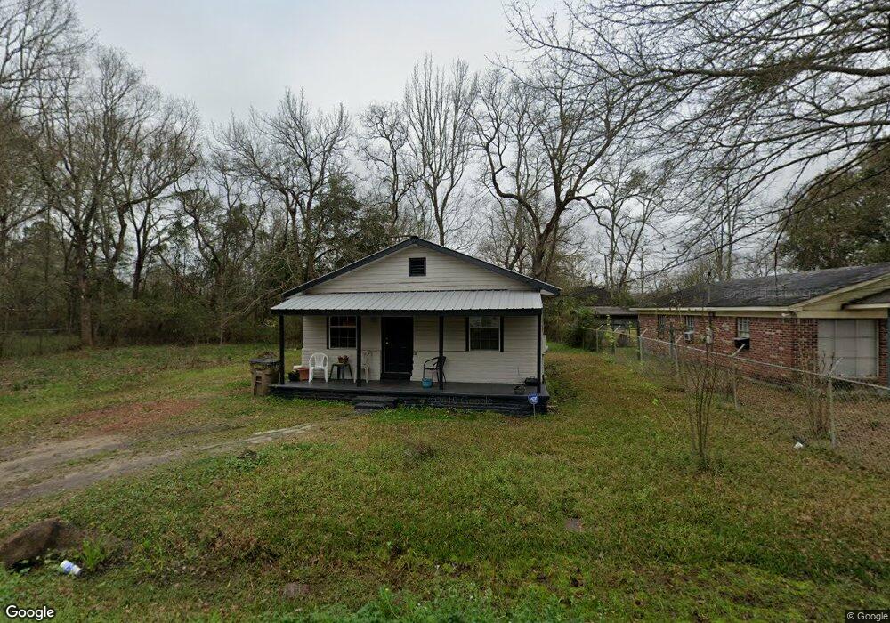
1709 Roach St Mobile, AL 36617
Neely NeighborhoodEstimated Value: $33,000 - $66,000
Studio
1
Bath
720
Sq Ft
$67/Sq Ft
Est. Value
About This Home
This home is located at 1709 Roach St, Mobile, AL 36617 and is currently estimated at $48,054, approximately $66 per square foot. 1709 Roach St is a home located in Mobile County with nearby schools including Chastang-Fournier K-8 School, Mattie T Blount High School, and Trinity Lutheran Elementary School.
Ownership History
Date
Name
Owned For
Owner Type
Purchase Details
Closed on
Sep 8, 2020
Sold by
Brewer Sara Marie
Bought by
Finklea Sara Marie
Current Estimated Value
Purchase Details
Closed on
Feb 26, 2003
Sold by
Logan Robert H
Bought by
Brewer Reginald and Brewer Sara
Home Financials for this Owner
Home Financials are based on the most recent Mortgage that was taken out on this home.
Original Mortgage
$25,500
Interest Rate
9.5%
Mortgage Type
Seller Take Back
Purchase Details
Closed on
Feb 25, 2002
Sold by
Brown Carwie J and Brown Lillian
Bought by
Logan Robert H
Home Financials for this Owner
Home Financials are based on the most recent Mortgage that was taken out on this home.
Original Mortgage
$8,327
Interest Rate
6.81%
Create a Home Valuation Report for This Property
The Home Valuation Report is an in-depth analysis detailing your home's value as well as a comparison with similar homes in the area
Home Values in the Area
Average Home Value in this Area
Purchase History
| Date | Buyer | Sale Price | Title Company |
|---|---|---|---|
| Finklea Sara Marie | -- | None Available | |
| Brewer Reginald | $27,500 | -- | |
| Logan Robert H | $7,000 | Surety Land Title Inc |
Source: Public Records
Mortgage History
| Date | Status | Borrower | Loan Amount |
|---|---|---|---|
| Previous Owner | Brewer Reginald | $25,500 | |
| Previous Owner | Logan Robert H | $8,327 |
Source: Public Records
Tax History
| Year | Tax Paid | Tax Assessment Tax Assessment Total Assessment is a certain percentage of the fair market value that is determined by local assessors to be the total taxable value of land and additions on the property. | Land | Improvement |
|---|---|---|---|---|
| 2025 | -- | $1,940 | $400 | $1,540 |
| 2024 | -- | $1,940 | $400 | $1,540 |
| 2023 | $0 | $1,670 | $400 | $1,270 |
| 2022 | $0 | $1,670 | $400 | $1,270 |
| 2021 | $61 | $1,530 | $260 | $1,270 |
| 2020 | $61 | $1,530 | $260 | $1,270 |
| 2019 | $61 | $1,680 | $0 | $0 |
| 2018 | $61 | $1,680 | $0 | $0 |
| 2017 | $61 | $1,680 | $0 | $0 |
| 2016 | $64 | $1,760 | $0 | $0 |
| 2013 | $53 | $1,360 | $0 | $0 |
Source: Public Records
Map
Nearby Homes
- 1811 Butler St
- 3009 Banks Ave
- 2815 Banks Ave
- 2621 Berkley Ave
- 1320 Jessie St
- 1203 Next St
- 2352 Linda Dr
- 6632 Monarch Cir
- 1824 Nitson St
- 400 Short St Charles
- 2464 Oakleigh Dr
- 1010 Barbara Dr
- 0 Junius Ln
- 2409 Elsevier St
- 1734 S Atmore Ave
- 941 Avenue H
- 721 Gilbert St
- 0 Western Dr
- 626 Percy Ave
- 1659 Hand Ave