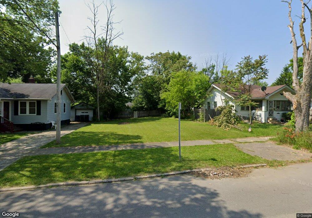
1709 Stevenson St Flint, MI 48504
Ballenger Park NeighborhoodEstimated Value: $48,000 - $81,000
2
Beds
1
Bath
840
Sq Ft
$77/Sq Ft
Est. Value
About This Home
This home is located at 1709 Stevenson St, Flint, MI 48504 and is currently estimated at $64,500, approximately $76 per square foot. 1709 Stevenson St is a home located in Genesee County with nearby schools including Durant-Tuuri-Mott Elementary School, St John Vianney Catholic School, and St. Paul Lutheran School.
Ownership History
Date
Name
Owned For
Owner Type
Purchase Details
Closed on
Aug 28, 2024
Sold by
Genesee County Land Bank Authority
Bought by
Goodman Eureka Latreille
Current Estimated Value
Purchase Details
Closed on
Dec 20, 2016
Sold by
Cherry Deborah L
Bought by
Genesee County Land Bank
Purchase Details
Closed on
Aug 2, 2010
Sold by
Woods Myra W
Bought by
Vesterfelt Allen and Vesterfelt Fallon
Purchase Details
Closed on
Nov 28, 2006
Sold by
Federal National Mortgage Association
Bought by
Homesales Inc
Purchase Details
Closed on
Oct 25, 2005
Sold by
Mortgage Electronic Registration Systems
Bought by
Federal National Mortgage Association
Purchase Details
Closed on
Oct 19, 2005
Sold by
Bardwell Martinee
Bought by
Mortgage Electronic Registration Systems
Create a Home Valuation Report for This Property
The Home Valuation Report is an in-depth analysis detailing your home's value as well as a comparison with similar homes in the area
Home Values in the Area
Average Home Value in this Area
Purchase History
| Date | Buyer | Sale Price | Title Company |
|---|---|---|---|
| Goodman Eureka Latreille | -- | None Listed On Document | |
| Genesee County Land Bank | -- | None Available | |
| Vesterfelt Allen | -- | None Available | |
| Homesales Inc | -- | 1St American | |
| Federal National Mortgage Association | -- | None Available | |
| Mortgage Electronic Registration Systems | $26,400 | -- |
Source: Public Records
Tax History
| Year | Tax Paid | Tax Assessment Tax Assessment Total Assessment is a certain percentage of the fair market value that is determined by local assessors to be the total taxable value of land and additions on the property. | Land | Improvement |
|---|---|---|---|---|
| 2025 | -- | $2,500 | $0 | $0 |
| 2024 | -- | $0 | $0 | $0 |
| 2023 | -- | $0 | $0 | $0 |
| 2022 | $0 | $0 | $0 | $0 |
| 2021 | $0 | $0 | $0 | $0 |
| 2020 | $0 | $0 | $0 | $0 |
| 2019 | $691 | $0 | $0 | $0 |
| 2018 | $221 | $0 | $0 | $0 |
| 2017 | $238 | $0 | $0 | $0 |
| 2016 | $691 | $0 | $0 | $0 |
| 2015 | $0 | $0 | $0 | $0 |
| 2014 | -- | $0 | $0 | $0 |
| 2012 | -- | $9,200 | $0 | $0 |
Source: Public Records
Map
Nearby Homes
- 1717 Wolcott St
- 1409 Prospect St
- 1025 Frost St
- 2001 Mackin Rd
- 1016 Dupont St
- 2410 Sloan St
- 1900 Cadillac St
- 2023 Cadillac St
- 913 Perry St
- 971 N Chevrolet Ave
- 2602 Sloan St
- 751 Dupont St
- 2026 Monteith St
- 2302 Mallery St
- 2513 Tiffin St
- 2509 Barth St
- 1645 Seminole St
- 1651 N Chevrolet Ave
- 1220 Forest Hill Ave
- 2424 Begole St
- 1713 Stevenson St
- 1705 Stevenson St
- 1910 Berkley St
- 1717 Stevenson St
- 1918 Berkley St
- 1701 Stevenson St
- 1801 Stevenson St
- 1710 Stevenson St
- 1714 Stevenson St
- 1922 Berkley St
- 1718 Stevenson St
- 1617 Stevenson St
- 1805 Stevenson St
- 1809 Stevenson St
- 1802 Stevenson St
- 1926 Berkley St
- 1618 Stevenson St
- 1909 Berkley St
- 1913 Berkley St
- 1806 Stevenson St
Your Personal Tour Guide
Ask me questions while you tour the home.