1709 W Bob o Link Dr Pontiac, IL 61764
Estimated Value: $293,000 - $396,000
4
Beds
3
Baths
2,410
Sq Ft
$140/Sq Ft
Est. Value
About This Home
This home is located at 1709 W Bob o Link Dr, Pontiac, IL 61764 and is currently estimated at $337,285, approximately $139 per square foot. 1709 W Bob o Link Dr is a home located in Livingston County with nearby schools including Central Elementary School, Lincoln Elementary School, and Washington Elementary School.
Ownership History
Date
Name
Owned For
Owner Type
Purchase Details
Closed on
Jan 13, 2016
Sold by
Quick Jerry W and Grant Quick Teresa L
Bought by
Herzog Jonathan
Current Estimated Value
Home Financials for this Owner
Home Financials are based on the most recent Mortgage that was taken out on this home.
Original Mortgage
$164,000
Outstanding Balance
$66,905
Interest Rate
3%
Mortgage Type
Future Advance Clause Open End Mortgage
Estimated Equity
$270,380
Create a Home Valuation Report for This Property
The Home Valuation Report is an in-depth analysis detailing your home's value as well as a comparison with similar homes in the area
Home Values in the Area
Average Home Value in this Area
Purchase History
| Date | Buyer | Sale Price | Title Company |
|---|---|---|---|
| Herzog Jonathan | $205,000 | None Available |
Source: Public Records
Mortgage History
| Date | Status | Borrower | Loan Amount |
|---|---|---|---|
| Open | Herzog Jonathan | $164,000 |
Source: Public Records
Tax History Compared to Growth
Tax History
| Year | Tax Paid | Tax Assessment Tax Assessment Total Assessment is a certain percentage of the fair market value that is determined by local assessors to be the total taxable value of land and additions on the property. | Land | Improvement |
|---|---|---|---|---|
| 2024 | $8,080 | $93,389 | $11,445 | $81,944 |
| 2023 | $7,834 | $87,361 | $10,706 | $76,655 |
| 2022 | $8,110 | $86,649 | $10,706 | $75,943 |
| 2021 | $7,865 | $83,316 | $10,294 | $73,022 |
| 2020 | $7,776 | $80,810 | $9,984 | $70,826 |
| 2019 | $7,574 | $77,271 | $9,547 | $67,724 |
| 2018 | $7,511 | $77,198 | $9,643 | $67,555 |
| 2017 | $7,483 | $77,121 | $9,633 | $67,488 |
| 2016 | $8,149 | $78,058 | $9,750 | $68,308 |
| 2015 | $7,072 | $78,058 | $9,750 | $68,308 |
| 2013 | $7,329 | $84,094 | $10,449 | $73,645 |
Source: Public Records
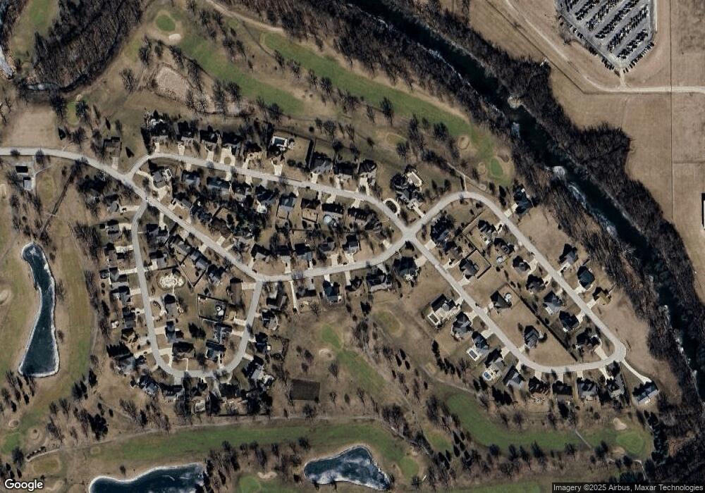
Map
Nearby Homes
- 1620 Meadowlark Dr
- 1635 Mockingbird Ln
- 1810 Cardinal Ct
- 1304 W Reynolds St
- 1204 W Reynolds St
- 406 Carol Ct Unit B2
- 105 Carol Ct Unit C-1
- 13301 E 1875 North Rd
- 113 Park Estate Ave
- 2 W Edgewood Dr
- 606 N Ladd St
- 34 Westwood Ave
- 811 W South St
- 618 W Sherman Ave
- Lot 3 W Cleary St
- Lot 14 W Sherman Ave
- 721 W South St
- 734 W Henry St
- 503 W Livingston St
- 615 W South St
- 1709 Bob o Link St
- 1612 W Bob o Link Dr
- 1612 W Bob o Link Dr
- 1711 W Bob o Link Dr
- 1713 W Bob o Link Dr
- 1715 W Bob o Link Dr
- 1715 W Bob o Link Dr
- 1713 W Bob o Link Dr
- 1711 W Bob o Link Dr
- 1710 W Bob o Link Dr
- 1714 W Bob o Link Dr
- 1714 W Bob o Link Dr
- 1708 W Bob o Link Dr
- 1708 Bob o Link St
- Lot 57 Meadowlark Dr
- Lot 44 Meadowlark Dr
- Lot 43 Meadowlark Dr
- Lot 42 Meadowlark Dr
- Lot 56 Meadowlark Dr
- 1706 W Bob o Link Dr