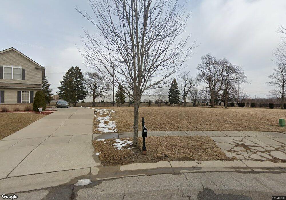
1709 Wilberforce Cir Flint, MI 48503
Downtown Flint NeighborhoodEstimated Value: $219,000 - $272,000
4
Beds
4
Baths
2,793
Sq Ft
$89/Sq Ft
Est. Value
About This Home
This home is located at 1709 Wilberforce Cir, Flint, MI 48503 and is currently estimated at $247,895, approximately $88 per square foot. 1709 Wilberforce Cir is a home located in Genesee County with nearby schools including Doyle/Ryder School, Flint Cultural Center Academy, and WAY Academy of Flint.
Ownership History
Date
Name
Owned For
Owner Type
Purchase Details
Closed on
Oct 24, 2005
Sold by
Charter Oak Homes Inc
Bought by
Jones Rodney D
Current Estimated Value
Home Financials for this Owner
Home Financials are based on the most recent Mortgage that was taken out on this home.
Original Mortgage
$239,111
Outstanding Balance
$129,752
Interest Rate
5.98%
Mortgage Type
VA
Estimated Equity
$118,143
Purchase Details
Closed on
May 17, 2005
Sold by
City Of Flint
Bought by
Charter Oak Homes Inc
Create a Home Valuation Report for This Property
The Home Valuation Report is an in-depth analysis detailing your home's value as well as a comparison with similar homes in the area
Home Values in the Area
Average Home Value in this Area
Purchase History
| Date | Buyer | Sale Price | Title Company |
|---|---|---|---|
| Jones Rodney D | $234,079 | Title One | |
| Charter Oak Homes Inc | -- | -- |
Source: Public Records
Mortgage History
| Date | Status | Borrower | Loan Amount |
|---|---|---|---|
| Open | Jones Rodney D | $239,111 |
Source: Public Records
Tax History
| Year | Tax Paid | Tax Assessment Tax Assessment Total Assessment is a certain percentage of the fair market value that is determined by local assessors to be the total taxable value of land and additions on the property. | Land | Improvement |
|---|---|---|---|---|
| 2025 | $3,615 | $126,000 | $0 | $0 |
| 2024 | $3,183 | $114,300 | $0 | $0 |
| 2023 | $3,074 | $108,400 | $0 | $0 |
| 2022 | $0 | $93,700 | $0 | $0 |
| 2021 | $3,257 | $91,400 | $0 | $0 |
| 2020 | $2,844 | $70,100 | $0 | $0 |
| 2019 | $2,713 | $53,400 | $0 | $0 |
| 2018 | $2,967 | $53,200 | $0 | $0 |
| 2017 | $3,151 | $0 | $0 | $0 |
| 2016 | $3,192 | $0 | $0 | $0 |
| 2015 | -- | $0 | $0 | $0 |
| 2014 | -- | $0 | $0 | $0 |
| 2012 | -- | $62,900 | $0 | $0 |
Source: Public Records
Map
Nearby Homes
- 1710 Wilberforce Cir
- 1706 Wilberforce Cir
- 1214 Root St
- 1303 Root St
- 1273 Broadway Blvd
- 630 E Dartmouth St
- 800 Martin Luther King Ave
- 1016 Garland St
- 2217 Francis Ave
- 1606 Garland St
- 1379 Washington Ave
- 218 E Jackson Ave
- 1529 Broadway Blvd
- 1540 Illinois Ave
- 1454 Delaware Ave
- 1445 Maryland Ave
- 1609 Ohio Ave
- 115 E Genesee St
- 416 W 2nd Ave Unit 4
- 407 W 2nd Ave
- 1705 Wilberforce Cir
- 1701 Wilberforce Cir
- 1706 Wilberforce Dr
- 1702 Wilberforce Cir
- 1704 Wilberforce Dr
- 1610 Loyola Dr
- 740 Wilberforce Dr
- 744 Wilberforce Dr
- 725 Wilberforce Ln
- 802 Wilberforce Dr
- 1606 Loyola Dr
- 806 Wilberforce Dr
- 728 Wilberforce Dr
- 717 Wilberforce Ln
- 721 Wilberforce Ln
- 810 Wilberforce Dr
- 724 Wilberforce Dr
- 1602 Loyola Dr
- 803 Fisk Dr
- 720 Wilberforce Dr
Your Personal Tour Guide
Ask me questions while you tour the home.