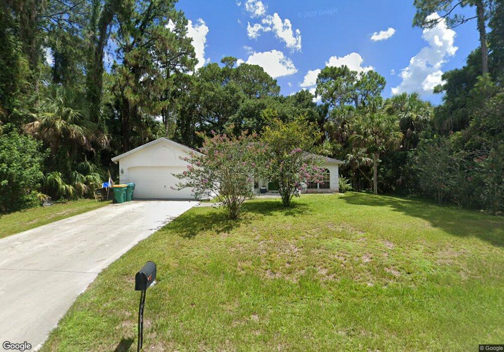
17097 Kellog Ave Port Charlotte, FL 33954
Estimated Value: $276,574 - $344,000
3
Beds
2
Baths
1,666
Sq Ft
$185/Sq Ft
Est. Value
About This Home
This home is located at 17097 Kellog Ave, Port Charlotte, FL 33954 and is currently estimated at $308,644, approximately $185 per square foot. 17097 Kellog Ave is a home located in Charlotte County with nearby schools including Liberty Elementary School, Murdock Middle School, and Port Charlotte High School.
Ownership History
Date
Name
Owned For
Owner Type
Purchase Details
Closed on
Dec 30, 2016
Sold by
Schmelzer Kristine R and Estate Of Richard G Stutz
Bought by
Sherin Matthew E
Current Estimated Value
Home Financials for this Owner
Home Financials are based on the most recent Mortgage that was taken out on this home.
Original Mortgage
$150,345
Outstanding Balance
$123,756
Interest Rate
4.08%
Mortgage Type
New Conventional
Estimated Equity
$184,888
Purchase Details
Closed on
Feb 14, 1994
Sold by
Peckett Robert and Peckett Carmen
Bought by
Stutz Richard G
Create a Home Valuation Report for This Property
The Home Valuation Report is an in-depth analysis detailing your home's value as well as a comparison with similar homes in the area
Home Values in the Area
Average Home Value in this Area
Purchase History
| Date | Buyer | Sale Price | Title Company |
|---|---|---|---|
| Sherin Matthew E | $155,000 | Gold Crest Title Services | |
| Stutz Richard G | $6,800 | -- |
Source: Public Records
Mortgage History
| Date | Status | Borrower | Loan Amount |
|---|---|---|---|
| Open | Sherin Matthew E | $150,345 |
Source: Public Records
Tax History Compared to Growth
Tax History
| Year | Tax Paid | Tax Assessment Tax Assessment Total Assessment is a certain percentage of the fair market value that is determined by local assessors to be the total taxable value of land and additions on the property. | Land | Improvement |
|---|---|---|---|---|
| 2024 | $2,435 | $152,430 | -- | -- |
| 2023 | $2,435 | $147,990 | $0 | $0 |
| 2022 | $2,337 | $143,680 | $0 | $0 |
| 2021 | $2,325 | $139,495 | $0 | $0 |
| 2020 | $2,275 | $137,569 | $0 | $0 |
| 2019 | $2,182 | $134,476 | $0 | $0 |
| 2018 | $2,006 | $131,969 | $0 | $0 |
| 2017 | $1,983 | $129,255 | $3,740 | $125,515 |
| 2016 | $987 | $69,921 | $0 | $0 |
| 2015 | $972 | $69,435 | $0 | $0 |
| 2014 | $952 | $68,884 | $0 | $0 |
Source: Public Records
Map
Nearby Homes
- 17080 Kellog Ave
- 17212 Glenview Ave
- 17156 Eugene Ave
- 17112 Eugene Ave
- 17213 Fallkirk Ave
- 17173 Glenview Ave
- 17196 Glenview Ave
- 17097 Doyle Ave
- 364 Lindon St
- 411 & 421 Lindon St
- 356 Lindon St
- 16506 McLaury Ave
- 378 Wyatt St
- 355 Milton St
- 284 Barger Dr
- 292 Barger Dr
- 347 Milton St
- 339 Milton St
- 161, 171, 179, 187 Ray St
- 194 Ray St
- 17113 Kellog Ave
- 17088 Kellog Ave
- 17104 Kellog Ave
- 17112 Kellog Ave
- 17120 Eugene Ave
- 17072 Kellog Ave
- 17097 Glenview Ave
- 17089 Eugene Ave
- 17131 Kellog Ave
- 17081 Glenview Ave
- 17081 Eugene Ave
- 17064 Kellog Ave
- 17130 Eugene Ave
- 17130 Kellog Ave
- 17121 Eugene Ave
- 17073 Glenview Ave
- 17121 Glenview Ave
- 17113 Glenview Ave
- 17188 Kellog Ave
- 17220 Kellog Ave