171 7th Ave Unit Lot 171 Millersport, OH 43046
Estimated Value: $395,000 - $420,000
2
Beds
2
Baths
1,600
Sq Ft
$254/Sq Ft
Est. Value
About This Home
This home is located at 171 7th Ave Unit Lot 171, Millersport, OH 43046 and is currently estimated at $405,948, approximately $253 per square foot. 171 7th Ave Unit Lot 171 is a home located in Fairfield County with nearby schools including Millersport Elementary School and Millersport Jr/Sr High School.
Ownership History
Date
Name
Owned For
Owner Type
Purchase Details
Closed on
Nov 5, 2020
Sold by
Dials Custom Builders Llc
Bought by
Dials William A and Dials Cynthia
Current Estimated Value
Purchase Details
Closed on
Nov 3, 2020
Sold by
Dials Custom Builders Llc
Bought by
Dials William A and Dials Cynthia
Purchase Details
Closed on
Aug 17, 2018
Sold by
Coffman Ned
Bought by
Dials Custom Builders Llc
Purchase Details
Closed on
Oct 30, 2008
Sold by
Fishbaugh Shawn L and Fishbaugh Catherine
Bought by
Coffman Ned
Create a Home Valuation Report for This Property
The Home Valuation Report is an in-depth analysis detailing your home's value as well as a comparison with similar homes in the area
Home Values in the Area
Average Home Value in this Area
Purchase History
| Date | Buyer | Sale Price | Title Company |
|---|---|---|---|
| Dials William A | -- | None Listed On Document | |
| Dials William A | -- | None Available | |
| Dials Custom Builders Llc | $228,000 | Valmer Land Title Agency Box | |
| Coffman Ned | $7,000 | Attorney |
Source: Public Records
Tax History Compared to Growth
Tax History
| Year | Tax Paid | Tax Assessment Tax Assessment Total Assessment is a certain percentage of the fair market value that is determined by local assessors to be the total taxable value of land and additions on the property. | Land | Improvement |
|---|---|---|---|---|
| 2024 | $7,025 | $100,640 | $11,420 | $89,220 |
| 2023 | $4,474 | $100,640 | $11,420 | $89,220 |
| 2022 | $4,497 | $100,640 | $11,420 | $89,220 |
| 2021 | $3,732 | $73,500 | $9,590 | $63,910 |
| 2020 | $1,147 | $73,500 | $9,590 | $63,910 |
| 2019 | $3,825 | $73,500 | $9,590 | $63,910 |
| 2018 | $1,981 | $56,350 | $8,770 | $47,580 |
| 2017 | $3,303 | $56,480 | $8,770 | $47,710 |
| 2016 | $3,084 | $56,480 | $8,770 | $47,710 |
| 2015 | $2,928 | $52,630 | $8,770 | $43,860 |
| 2014 | $2,463 | $52,630 | $8,770 | $43,860 |
| 2013 | $2,463 | $52,630 | $8,770 | $43,860 |
Source: Public Records
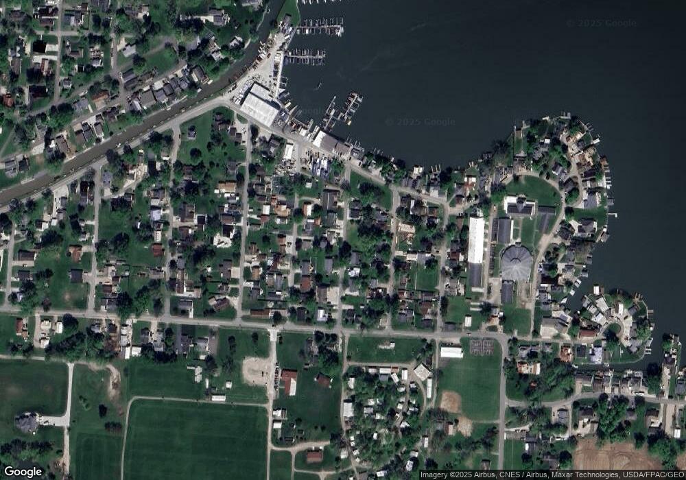
Map
Nearby Homes
- 12055 7th Ave
- 2595 Canal Dr
- 2484 Mallard Point Ln
- 12291 Ohio Ave
- 2485 Mallard Point Ln
- 2582 E Park St
- 2592 Summit St
- 3317 S Bank Rd NE
- 3333 S Bank Rd NE
- 2583 Mallard Point Ln
- 2486 Mallard Point Ln
- 3424 S Bank Rd NE
- 0 Blacklick-Eastern Rd NE
- 11999 Broad St
- 11751 Lancaster St
- 3427 S Bank Rd NE
- 12656 W Bank Dr NE
- 12580 W Bank Dr NE
- 12946 W Bank Dr NE
- 12700 Onion Island NE
- 2930 Chautauqua Blvd
- 2930 Chautauqua Blvd
- 12054 6th Ave
- 12083 7th Ave
- 12076 6th Ave
- 12040 6th Ave
- 12064 7th Ave
- 12080 6th Ave
- 2960 Chautauqua Blvd
- 2960 Chatauqua Blvd
- 12076 7th Ave
- 2935 Chatauqua Blvd
- 2935 Chautauqua Blvd
- 12061 8th Ave
- 12065 6th Ave
- 12069 8th Ave
- 12071 6th Ave
- 12096 7th Ave
- 12101 7th Ave
- 2966 Chatauqua Blvd