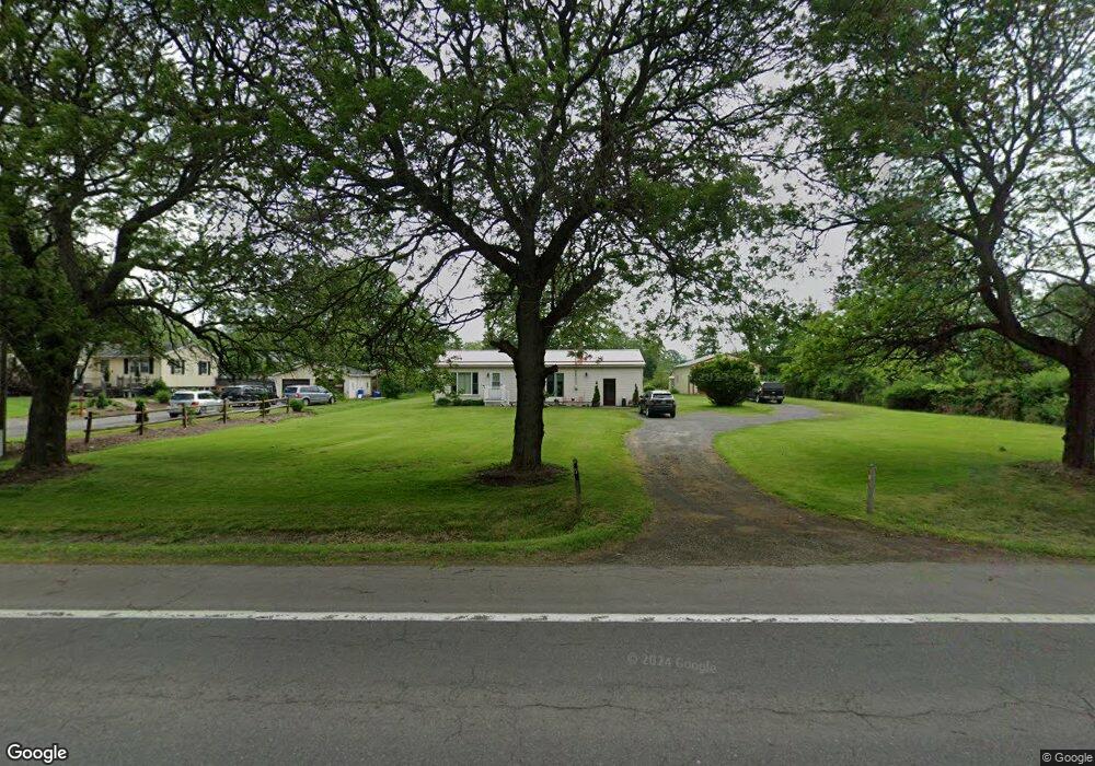
171 Auburn Rd Lansing, NY 14882
Estimated Value: $247,000 - $286,435
2
Beds
1
Bath
1,200
Sq Ft
$217/Sq Ft
Est. Value
About This Home
This home is located at 171 Auburn Rd, Lansing, NY 14882 and is currently estimated at $260,359, approximately $216 per square foot. 171 Auburn Rd is a home located in Tompkins County with nearby schools including Raymond C. Buckley Elementary School, Lansing Middle School, and Lansing High School.
Ownership History
Date
Name
Owned For
Owner Type
Purchase Details
Closed on
Aug 20, 2013
Sold by
Welch Paul W
Bought by
Campanella Joseph C
Current Estimated Value
Home Financials for this Owner
Home Financials are based on the most recent Mortgage that was taken out on this home.
Original Mortgage
$90,525
Outstanding Balance
$67,641
Interest Rate
4.51%
Mortgage Type
Unknown
Estimated Equity
$192,718
Purchase Details
Closed on
Jul 31, 1997
Sold by
Uhl Harry A and Uhl Deloris M
Bought by
Welch Paul W and Welch Fannie M
Create a Home Valuation Report for This Property
The Home Valuation Report is an in-depth analysis detailing your home's value as well as a comparison with similar homes in the area
Home Values in the Area
Average Home Value in this Area
Purchase History
| Date | Buyer | Sale Price | Title Company |
|---|---|---|---|
| Campanella Joseph C | $106,500 | Tavelli Paul | |
| Welch Paul W | $60,000 | -- |
Source: Public Records
Mortgage History
| Date | Status | Borrower | Loan Amount |
|---|---|---|---|
| Open | Campanella Joseph C | $90,525 |
Source: Public Records
Tax History Compared to Growth
Tax History
| Year | Tax Paid | Tax Assessment Tax Assessment Total Assessment is a certain percentage of the fair market value that is determined by local assessors to be the total taxable value of land and additions on the property. | Land | Improvement |
|---|---|---|---|---|
| 2024 | $4,671 | $240,000 | $38,100 | $201,900 |
| 2023 | $4,671 | $162,000 | $38,100 | $123,900 |
| 2022 | $3,160 | $147,000 | $38,100 | $108,900 |
| 2021 | $4,400 | $140,000 | $38,100 | $101,900 |
| 2020 | $2,828 | $130,000 | $38,100 | $91,900 |
| 2019 | $1,358 | $130,000 | $38,100 | $91,900 |
| 2018 | $2,790 | $130,000 | $38,100 | $91,900 |
| 2017 | $2,822 | $130,000 | $34,500 | $95,500 |
| 2016 | $2,823 | $130,000 | $34,500 | $95,500 |
| 2015 | -- | $120,000 | $34,500 | $85,500 |
| 2014 | -- | $120,000 | $34,500 | $85,500 |
Source: Public Records
Map
Nearby Homes
- 0 Cayuga Vista Dr
- 87 Armstrong Rd
- 193 Drake Rd
- 0 Drake Rd
- 212 Wilson Rd
- 580 Buck Rd
- 127 Drake Rd
- 34 Benson Rd
- 153 Ridge Rd
- 163 Ridge Rd
- 80 Triphammer Terrace
- 0 Placid Terrace
- 39 Farm Pond Cir
- 5 (lot # 5) E Shore Cir
- 4 (lot # 4) E Shore Cir
- 3 (Lot # 3) E Shore Cir
- 10 David Ct
- 44 Aspen Way
- 34 Aspen Way
- 123 Roseann Dr
- 177 Auburn Rd
- 159 Auburn Rd
- 183 Auburn Rd
- 170 Auburn Rd
- 22 Verizon Ln
- 20 Verizon Ln
- 3125 N Triphammer Rd
- 8 Verizon Ln
- 76 Peruville Rd
- 23 Peruville Rd
- 23 Peruville Rd
- 53 Peruville Rd
- 80 Peruville Rd
- 227 Auburn Rd
- 227 Auburn Rd
- 3110 N Triphammer Rd Unit 2
- 3110 N Triphammer Rd
- 59 Peruville Rd
- 7 Peruville Rd
- 86 Peruville Rd