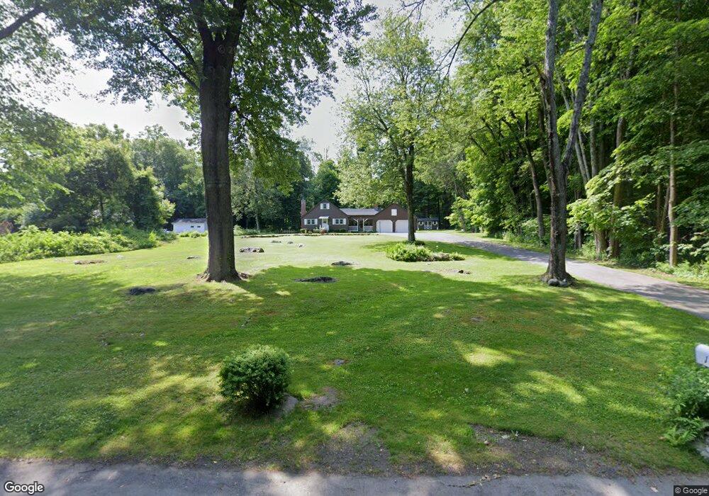
171 Bartlett Ave Wilbraham, MA 01095
Estimated Value: $327,000 - $369,000
4
Beds
1
Bath
1,435
Sq Ft
$236/Sq Ft
Est. Value
About This Home
This home is located at 171 Bartlett Ave, Wilbraham, MA 01095 and is currently estimated at $338,324, approximately $235 per square foot. 171 Bartlett Ave is a home located in Hampden County with nearby schools including Minnechaug Regional High School, St. John the Baptist School, and Wilbraham & Monson Academy.
Ownership History
Date
Name
Owned For
Owner Type
Purchase Details
Closed on
Oct 8, 2025
Sold by
Bready Shirley A
Bought by
Bready Douglas P
Current Estimated Value
Purchase Details
Closed on
Sep 19, 2025
Sold by
Bready Douglas P and Bready Mark A
Bought by
Bready Shirley A
Purchase Details
Closed on
May 21, 2025
Sold by
Bready Shirley A
Bought by
Bready Douglas P and Bready Mark A
Purchase Details
Closed on
Aug 5, 1964
Bought by
Bready George W and Bready Shirley A
Create a Home Valuation Report for This Property
The Home Valuation Report is an in-depth analysis detailing your home's value as well as a comparison with similar homes in the area
Home Values in the Area
Average Home Value in this Area
Purchase History
| Date | Buyer | Sale Price | Title Company |
|---|---|---|---|
| Bready Douglas P | -- | -- | |
| Bready Shirley A | -- | -- | |
| Bready Douglas P | -- | None Available | |
| Bready Douglas P | -- | None Available | |
| Bready George W | -- | -- |
Source: Public Records
Mortgage History
| Date | Status | Borrower | Loan Amount |
|---|---|---|---|
| Previous Owner | Bready George W | $50,000 |
Source: Public Records
Tax History Compared to Growth
Tax History
| Year | Tax Paid | Tax Assessment Tax Assessment Total Assessment is a certain percentage of the fair market value that is determined by local assessors to be the total taxable value of land and additions on the property. | Land | Improvement |
|---|---|---|---|---|
| 2025 | $4,230 | $236,600 | $78,700 | $157,900 |
| 2024 | $4,218 | $228,000 | $78,700 | $149,300 |
| 2023 | $4,007 | $214,300 | $78,700 | $135,600 |
| 2022 | $4,026 | $196,500 | $78,700 | $117,800 |
| 2021 | $3,678 | $160,200 | $84,700 | $75,500 |
| 2020 | $3,585 | $160,200 | $84,700 | $75,500 |
| 2019 | $3,495 | $160,300 | $84,700 | $75,600 |
| 2018 | $3,487 | $154,000 | $84,700 | $69,300 |
| 2017 | $3,388 | $154,000 | $84,700 | $69,300 |
| 2016 | $3,469 | $160,600 | $84,300 | $76,300 |
| 2015 | $3,353 | $160,600 | $84,300 | $76,300 |
Source: Public Records
Map
Nearby Homes
- 182 Mountain Rd
- 2 Vista Rd
- 474-480 Mountain Rd
- 38 King Dr
- 54 High Pine Cir
- 69 High Pine Cir
- 35 Lake Dr
- 225 Maynard Rd
- 20 Old Orchard Rd
- 474 Mountain Rd
- 4 Hillcrest Dr
- 88-90 Miller St
- 319 Ventura St
- 22 Balsam Hill Rd
- 2 Bayberry Dr Unit 51
- 6 Hawthorne Rd
- 28 Decorie Dr
- 46 Washington Rd
- 6 Hilltop Park
- 12 Highridge Rd
- 207 Mountain Rd
- 211 Mountain Rd
- 163 Bartlett Ave
- 223 Mountain Rd
- 164 Bartlett Ave
- L12 Danforth Farms Rd
- 3 Danforth Farms Rd
- 9 Danforth Farms Rd
- 227 Mountain Rd
- 19 Danforth Farms Rd
- 147 Bartlett Ave
- 2 Danforth Farm Rd
- 3 Danforth Farm Rd
- 4 Sunset Rock Rd
- 2 Sunset Rock Rd
- 136 Bartlett Ave
- 139 Bartlett Ave
- 4 Danforth Farm Rd
- 4 Danforth Farm Rd
- 240 Mountain Rd