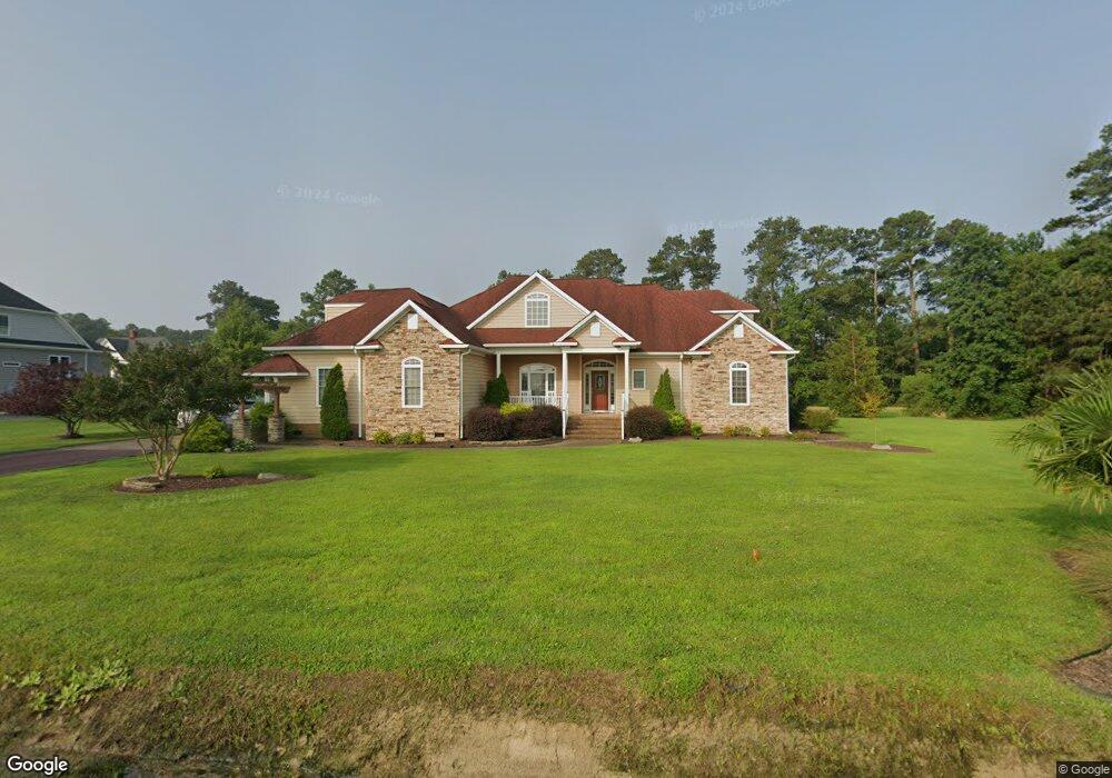
171 Beach Rd Poquoson, VA 23662
Poquoson Shores NeighborhoodEstimated Value: $724,914 - $776,000
5
Beds
4
Baths
4,500
Sq Ft
$166/Sq Ft
Est. Value
About This Home
This home is located at 171 Beach Rd, Poquoson, VA 23662 and is currently estimated at $744,971, approximately $165 per square foot. 171 Beach Rd is a home located in Poquoson City with nearby schools including Summit Christian Academy - Upper School.
Ownership History
Date
Name
Owned For
Owner Type
Purchase Details
Closed on
Feb 11, 2014
Sold by
Earley Kenneth D
Bought by
Dinonno John M
Current Estimated Value
Home Financials for this Owner
Home Financials are based on the most recent Mortgage that was taken out on this home.
Original Mortgage
$416,800
Outstanding Balance
$315,592
Interest Rate
4.39%
Mortgage Type
New Conventional
Estimated Equity
$429,380
Create a Home Valuation Report for This Property
The Home Valuation Report is an in-depth analysis detailing your home's value as well as a comparison with similar homes in the area
Home Values in the Area
Average Home Value in this Area
Purchase History
| Date | Buyer | Sale Price | Title Company |
|---|---|---|---|
| Dinonno John M | $521,000 | -- |
Source: Public Records
Mortgage History
| Date | Status | Borrower | Loan Amount |
|---|---|---|---|
| Open | Dinonno John M | $416,800 |
Source: Public Records
Tax History Compared to Growth
Tax History
| Year | Tax Paid | Tax Assessment Tax Assessment Total Assessment is a certain percentage of the fair market value that is determined by local assessors to be the total taxable value of land and additions on the property. | Land | Improvement |
|---|---|---|---|---|
| 2024 | $7,340 | $643,900 | $163,100 | $480,800 |
| 2023 | $7,147 | $643,900 | $163,100 | $480,800 |
| 2022 | $6,577 | $582,000 | $163,000 | $419,000 |
| 2021 | $6,577 | $582,000 | $163,000 | $419,000 |
| 2020 | -- | $542,100 | $163,000 | $379,100 |
| 2019 | -- | $542,100 | $163,000 | $379,100 |
| 2018 | -- | $527,600 | $163,000 | $364,600 |
| 2017 | -- | $527,600 | $163,000 | $364,600 |
| 2016 | -- | $527,600 | $163,000 | $364,600 |
| 2015 | -- | $512,100 | $163,000 | $349,100 |
| 2013 | -- | $512,100 | $163,000 | $349,100 |
Source: Public Records
Map
Nearby Homes
- 41 W Sandy Point Rd
- 1 Phillips Rd
- 28 Pasture Rd
- 8 Harbour View Dr
- 15+AC Browns Neck Rd
- 8 Wornom Farm Rd
- 240 Hunts Neck Rd
- 11 Valmoore Dr
- 11 Dorothy Dr
- 105 Rens Rd Unit 30
- 105 Rens Rd Unit 2
- 105 Rens Rd Unit 74
- 105 Rens Rd Unit Lot 48
- 29 River Rd
- 35 River Rd
- 11 Bull Run
- 7 Carmines Ct
- 6 Lessies Dr
- 3 Carmines Ct
- 40 Valmoore Dr
- 169 Beach Rd
- 173 Beach Rd
- 153 Pasture Rd
- 4 Hollingsworth Way
- 180 Beach Rd
- 6 Hollingsworth Way
- Lot 2 Printers Alley
- 191 Beach Rd
- 8 Hollingsworth Way
- 146 Pasture Rd
- 10 Hollingsworth Way
- 193 Beach Rd
- 190 Beach Rd
- 7 Hollingsworth Way
- 192 Beach Rd
- 144 Pasture Rd
- 9 Hollingsworth Way
- 141 Pasture Rd
- 172 Beach Rd
- 195 Beach Rd