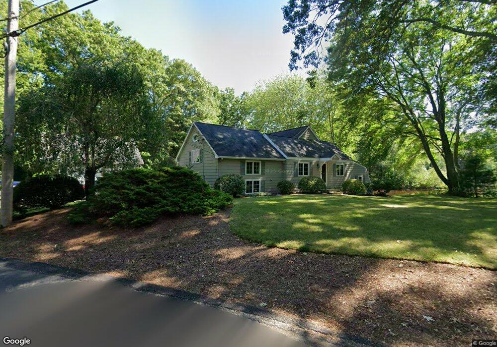
171 Brown Ave Mansfield, MA 02048
Estimated Value: $597,000 - $658,070
3
Beds
2
Baths
1,768
Sq Ft
$356/Sq Ft
Est. Value
About This Home
This home is located at 171 Brown Ave, Mansfield, MA 02048 and is currently estimated at $630,018, approximately $356 per square foot. 171 Brown Ave is a home located in Bristol County with nearby schools including Everett W. Robinson Elementary School, Jordan/Jackson Elementary School, and Harold L. Qualters Middle School.
Create a Home Valuation Report for This Property
The Home Valuation Report is an in-depth analysis detailing your home's value as well as a comparison with similar homes in the area
Home Values in the Area
Average Home Value in this Area
Tax History
| Year | Tax Paid | Tax Assessment Tax Assessment Total Assessment is a certain percentage of the fair market value that is determined by local assessors to be the total taxable value of land and additions on the property. | Land | Improvement |
|---|---|---|---|---|
| 2025 | $7,567 | $574,600 | $222,600 | $352,000 |
| 2024 | $7,656 | $567,100 | $222,600 | $344,500 |
| 2023 | $7,410 | $525,900 | $222,600 | $303,300 |
| 2022 | $7,098 | $467,900 | $206,200 | $261,700 |
| 2021 | $6,728 | $438,000 | $182,900 | $255,100 |
| 2020 | $6,474 | $421,500 | $182,900 | $238,600 |
| 2019 | $6,412 | $421,300 | $172,400 | $248,900 |
| 2018 | $5,655 | $386,500 | $156,100 | $230,400 |
| 2017 | $5,738 | $382,000 | $151,600 | $230,400 |
| 2016 | $5,904 | $383,100 | $152,000 | $231,100 |
| 2015 | $5,335 | $344,200 | $144,400 | $199,800 |
Source: Public Records
Map
Nearby Homes
- 24 Maverick Dr
- 25 Shepherd St
- 25 Munroe Dr
- 150 Gilbert St
- 84 Messenger St
- 128 Tremont St
- 9 Coach Rd
- 17 Childs Ln
- 33 Colonial Way
- 14 Claire Ave
- 40 Treasure Island Rd
- 115 Westfield Dr
- 57 Vine St
- 16 Treasure Island Rd
- 28 Messenger St
- Lot 5 Jeffrey Dr
- Lot 2 Jeffrey Dr
- 401 South St
- 46 Mirimichi St
- 1769 West St
Your Personal Tour Guide
Ask me questions while you tour the home.