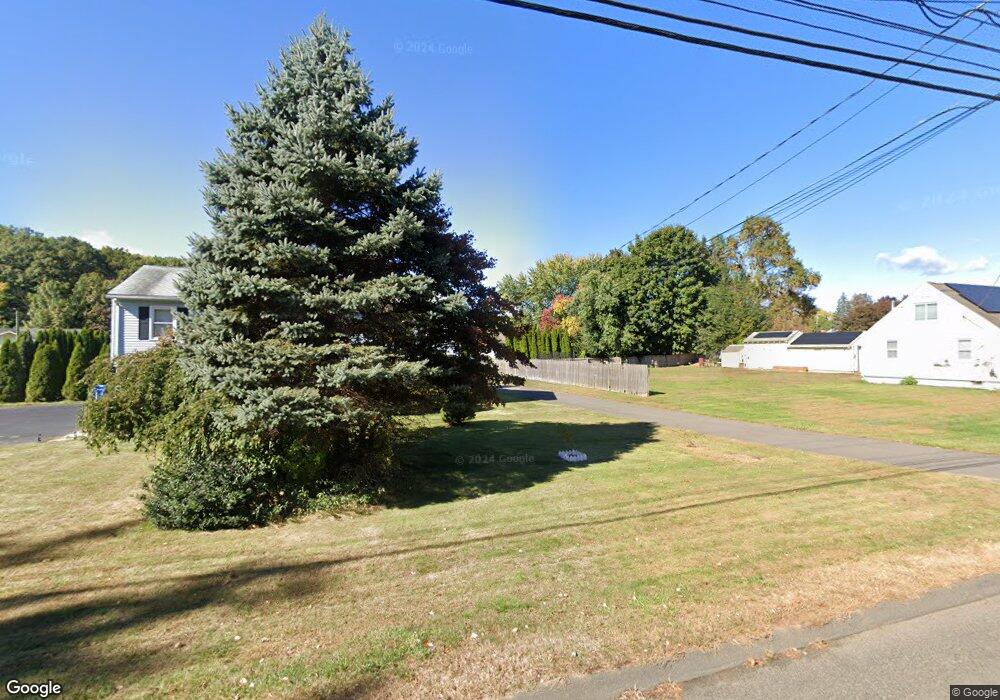
171 Camp St Bristol, CT 06010
Forestville NeighborhoodEstimated Value: $348,000 - $366,687
3
Beds
2
Baths
1,182
Sq Ft
$303/Sq Ft
Est. Value
About This Home
This home is located at 171 Camp St, Bristol, CT 06010 and is currently estimated at $357,922, approximately $302 per square foot. 171 Camp St is a home located in Hartford County with nearby schools including Northeast Middle School, Bristol Eastern High School, and St Matthew School.
Ownership History
Date
Name
Owned For
Owner Type
Purchase Details
Closed on
Dec 8, 2009
Sold by
Delucia Michael J and Delucia Sherry A
Bought by
Cuccureddu Toni J and Frady Joseph C
Current Estimated Value
Home Financials for this Owner
Home Financials are based on the most recent Mortgage that was taken out on this home.
Original Mortgage
$210,614
Interest Rate
5.01%
Create a Home Valuation Report for This Property
The Home Valuation Report is an in-depth analysis detailing your home's value as well as a comparison with similar homes in the area
Home Values in the Area
Average Home Value in this Area
Purchase History
| Date | Buyer | Sale Price | Title Company |
|---|---|---|---|
| Cuccureddu Toni J | $214,500 | -- | |
| Cuccureddu Toni J | $214,500 | -- |
Source: Public Records
Mortgage History
| Date | Status | Borrower | Loan Amount |
|---|---|---|---|
| Open | Cuccureddu Toni J | $216,016 | |
| Closed | Cuccureddu Toni J | $210,614 |
Source: Public Records
Tax History Compared to Growth
Tax History
| Year | Tax Paid | Tax Assessment Tax Assessment Total Assessment is a certain percentage of the fair market value that is determined by local assessors to be the total taxable value of land and additions on the property. | Land | Improvement |
|---|---|---|---|---|
| 2025 | $6,717 | $199,010 | $49,700 | $149,310 |
| 2024 | $6,399 | $200,900 | $49,700 | $151,200 |
| 2023 | $6,097 | $200,900 | $49,700 | $151,200 |
| 2022 | $5,656 | $147,490 | $40,390 | $107,100 |
| 2021 | $5,656 | $147,490 | $40,390 | $107,100 |
| 2020 | $5,656 | $147,490 | $40,390 | $107,100 |
| 2019 | $5,612 | $147,490 | $40,390 | $107,100 |
| 2018 | $5,439 | $147,490 | $40,390 | $107,100 |
| 2017 | $5,150 | $142,940 | $50,120 | $92,820 |
| 2016 | $5,150 | $142,940 | $50,120 | $92,820 |
| 2015 | $4,947 | $142,940 | $50,120 | $92,820 |
| 2014 | $4,947 | $142,940 | $50,120 | $92,820 |
Source: Public Records
Map
Nearby Homes
- 3 Bushel Rd Unit 3
- 35 Buckley Ave
- 418 Washington St
- 0 Overlook Dr Unit Lot 4 24092448
- 0 Overlook Dr Unit Lot 3 24092446
- 336 Washington St
- 205 Camp St
- 73 Grove Ave
- 245 Mark St
- 25 Oakwood Cir Unit 7
- 27 Oakwood Cir Unit 8
- 5 Peach Orchard Hill
- 18 Timber Hill Rd
- 46 Pleasant Ave
- 109 Glenwood Dr
- 158 E Main St
- 226 E Main St Unit 4
- 44 Cabot St
- 23 Bel Aire Dr
- 63 Unionville Ave