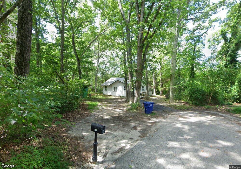
171 Canna St Browns Mills, NJ 08015
Estimated Value: $179,000 - $305,000
3
Beds
1
Bath
1,128
Sq Ft
$228/Sq Ft
Est. Value
About This Home
This home is located at 171 Canna St, Browns Mills, NJ 08015 and is currently estimated at $257,196, approximately $228 per square foot. 171 Canna St is a home located in Burlington County.
Ownership History
Date
Name
Owned For
Owner Type
Purchase Details
Closed on
Jul 9, 2022
Sold by
Yellowstone Group Llc
Bought by
H & Y Equities Llc
Current Estimated Value
Home Financials for this Owner
Home Financials are based on the most recent Mortgage that was taken out on this home.
Original Mortgage
$129,000
Outstanding Balance
$123,430
Interest Rate
5.78%
Mortgage Type
New Conventional
Estimated Equity
$133,766
Purchase Details
Closed on
Feb 16, 2022
Sold by
Mary Mason
Bought by
Yellowstone Group Llc
Create a Home Valuation Report for This Property
The Home Valuation Report is an in-depth analysis detailing your home's value as well as a comparison with similar homes in the area
Home Values in the Area
Average Home Value in this Area
Purchase History
| Date | Buyer | Sale Price | Title Company |
|---|---|---|---|
| H & Y Equities Llc | $145,000 | Moskovits Joseph | |
| H & Y Equities Llc | $145,000 | Moskovits Joseph | |
| Yellowstone Group Llc | $120,000 | Homestead Title Agency |
Source: Public Records
Mortgage History
| Date | Status | Borrower | Loan Amount |
|---|---|---|---|
| Open | H & Y Equities Llc | $129,000 | |
| Closed | H & Y Equities Llc | $129,000 |
Source: Public Records
Tax History Compared to Growth
Tax History
| Year | Tax Paid | Tax Assessment Tax Assessment Total Assessment is a certain percentage of the fair market value that is determined by local assessors to be the total taxable value of land and additions on the property. | Land | Improvement |
|---|---|---|---|---|
| 2025 | $4,273 | $139,400 | $45,000 | $94,400 |
| 2024 | $4,009 | $139,400 | $45,000 | $94,400 |
| 2023 | $4,009 | $139,400 | $45,000 | $94,400 |
| 2022 | $3,711 | $139,400 | $45,000 | $94,400 |
| 2021 | $3,343 | $139,400 | $45,000 | $94,400 |
| 2020 | $3,425 | $139,400 | $45,000 | $94,400 |
| 2019 | $3,280 | $139,400 | $45,000 | $94,400 |
| 2018 | $3,169 | $139,400 | $45,000 | $94,400 |
| 2017 | $3,103 | $139,400 | $45,000 | $94,400 |
| 2016 | $2,433 | $65,100 | $21,100 | $44,000 |
| 2015 | $2,414 | $65,100 | $21,100 | $44,000 |
| 2014 | $2,308 | $65,100 | $21,100 | $44,000 |
Source: Public Records
Map
Nearby Homes
- 120 Snow Ave
- 402 W Lakeshore Dr
- 120 Auburn Ave
- 152 Blanche St
- 128 Auburn Ave
- 311 Sumach St
- 301 W Lakeshore Dr
- 330 Woodbine St
- 11 Pardee Blvd
- 218 Auburn Ave
- 30 Apple Ave
- 34 Olive St
- 355 Wildrose St
- 302 Lakeview Blvd
- 428 Bayberry St
- 1030 Hanover Blvd
- 163 Garden Ave
- 200 Rugby St
- 242 Phillips Ave
- 143 Plum St