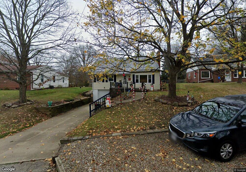
171 Cohan Rd Wooster, OH 44691
Estimated Value: $200,015 - $243,000
3
Beds
2
Baths
1,404
Sq Ft
$158/Sq Ft
Est. Value
About This Home
This home is located at 171 Cohan Rd, Wooster, OH 44691 and is currently estimated at $222,004, approximately $158 per square foot. 171 Cohan Rd is a home located in Wayne County with nearby schools including Cornerstone Elementary School, Edgewood Middle School, and Wooster High School.
Ownership History
Date
Name
Owned For
Owner Type
Purchase Details
Closed on
Jul 16, 2001
Sold by
Rust Theodore H
Bought by
Ballon Bryan P and Ballon Susan K
Current Estimated Value
Home Financials for this Owner
Home Financials are based on the most recent Mortgage that was taken out on this home.
Original Mortgage
$98,900
Outstanding Balance
$38,473
Interest Rate
7.27%
Mortgage Type
New Conventional
Estimated Equity
$183,531
Purchase Details
Closed on
Nov 20, 1995
Sold by
Herald Larry D
Bought by
Rust Theodore H and Rust Beverly J
Home Financials for this Owner
Home Financials are based on the most recent Mortgage that was taken out on this home.
Original Mortgage
$60,000
Interest Rate
7.65%
Mortgage Type
New Conventional
Purchase Details
Closed on
Sep 2, 1988
Sold by
Herald Larry D and Herald Janis
Bought by
Herald Larry D and Herald Janis S
Create a Home Valuation Report for This Property
The Home Valuation Report is an in-depth analysis detailing your home's value as well as a comparison with similar homes in the area
Home Values in the Area
Average Home Value in this Area
Purchase History
| Date | Buyer | Sale Price | Title Company |
|---|---|---|---|
| Ballon Bryan P | $102,000 | -- | |
| Rust Theodore H | $89,000 | -- | |
| Herald Larry D | -- | -- |
Source: Public Records
Mortgage History
| Date | Status | Borrower | Loan Amount |
|---|---|---|---|
| Open | Ballon Bryan P | $98,900 | |
| Previous Owner | Rust Theodore H | $60,000 |
Source: Public Records
Tax History
| Year | Tax Paid | Tax Assessment Tax Assessment Total Assessment is a certain percentage of the fair market value that is determined by local assessors to be the total taxable value of land and additions on the property. | Land | Improvement |
|---|---|---|---|---|
| 2024 | $2,233 | $54,030 | $14,340 | $39,690 |
| 2023 | $2,241 | $54,030 | $14,340 | $39,690 |
| 2022 | $2,167 | $41,560 | $11,030 | $30,530 |
| 2021 | $2,212 | $41,140 | $11,030 | $30,110 |
| 2020 | $2,098 | $41,140 | $11,030 | $30,110 |
| 2019 | $1,797 | $33,830 | $10,340 | $23,490 |
| 2018 | $1,802 | $33,830 | $10,340 | $23,490 |
| 2017 | $1,819 | $33,830 | $10,340 | $23,490 |
| 2016 | $1,882 | $32,710 | $10,340 | $22,370 |
| 2015 | $1,847 | $32,710 | $10,340 | $22,370 |
| 2014 | $1,848 | $32,710 | $10,340 | $22,370 |
| 2013 | $2,042 | $34,010 | $10,590 | $23,420 |
Source: Public Records
Map
Nearby Homes
- 2586 Taylor St
- 2011 Burbank Rd
- 216 Ihrig Ave
- 2677 Taylor St
- 317 Ihrig Ave
- 539 Forest Creek Dr Unit 6842
- 2208 Cleveland Rd
- 2552 Monterey St
- 220 Kinney St
- 588 Forest Creek Dr
- 211 Oakley Rd
- V/L 6838 Forest Creek Dr
- 240 Winkler Dr
- 2020 Winkler Dr
- 1960 Autumn Run
- 645 Ridgewood Dr
- 869 Meadow Ln
- 835 Marilyn Dr
- 2185 Ryan Ct
- 862 Marilyn Dr
Your Personal Tour Guide
Ask me questions while you tour the home.