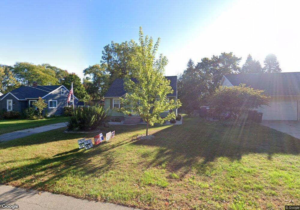
171 Dartmouth Ave Holland, MI 49423
Holland Heights NeighborhoodEstimated Value: $261,347 - $317,000
4
Beds
1
Bath
1,185
Sq Ft
$245/Sq Ft
Est. Value
About This Home
This home is located at 171 Dartmouth Ave, Holland, MI 49423 and is currently estimated at $290,116, approximately $244 per square foot. 171 Dartmouth Ave is a home located in Ottawa County with nearby schools including Holland Heights Elementary, Maplewood, and Holland High School.
Ownership History
Date
Name
Owned For
Owner Type
Purchase Details
Closed on
May 24, 2014
Sold by
Stowe Amanda
Bought by
Authement Brien
Current Estimated Value
Purchase Details
Closed on
Dec 7, 2010
Sold by
The George & Rose Marie Bouma Joint Livi
Bought by
Authement Brien T
Home Financials for this Owner
Home Financials are based on the most recent Mortgage that was taken out on this home.
Original Mortgage
$69,200
Interest Rate
4.22%
Mortgage Type
FHA
Purchase Details
Closed on
Aug 24, 1992
Sold by
Bouma George
Create a Home Valuation Report for This Property
The Home Valuation Report is an in-depth analysis detailing your home's value as well as a comparison with similar homes in the area
Home Values in the Area
Average Home Value in this Area
Purchase History
| Date | Buyer | Sale Price | Title Company |
|---|---|---|---|
| Authement Brien | -- | None Available | |
| Authement Brien T | $71,000 | None Available | |
| -- | $66,000 | -- |
Source: Public Records
Mortgage History
| Date | Status | Borrower | Loan Amount |
|---|---|---|---|
| Previous Owner | Authement Brien T | $69,200 |
Source: Public Records
Tax History Compared to Growth
Tax History
| Year | Tax Paid | Tax Assessment Tax Assessment Total Assessment is a certain percentage of the fair market value that is determined by local assessors to be the total taxable value of land and additions on the property. | Land | Improvement |
|---|---|---|---|---|
| 2025 | $2,123 | $95,400 | $0 | $0 |
| 2024 | $2,123 | $82,700 | $0 | $0 |
| 2023 | $3,955 | $73,300 | $0 | $0 |
| 2022 | $1,885 | $67,800 | $0 | $0 |
| 2021 | $1,833 | $61,700 | $0 | $0 |
| 2020 | $1,830 | $59,400 | $0 | $0 |
| 2019 | $1,845 | $53,800 | $0 | $0 |
| 2018 | $1,737 | $48,600 | $0 | $0 |
| 2017 | $1,683 | $48,600 | $0 | $0 |
| 2016 | $1,683 | $47,000 | $0 | $0 |
| 2015 | $1,630 | $44,000 | $0 | $0 |
| 2014 | $1,630 | $42,700 | $0 | $0 |
Source: Public Records
Map
Nearby Homes
- 239 S Waverly Rd
- 1078 Lynden Rd
- 1101 Lynden Rd
- 403 Stratford Way
- VL-0 120th Ave
- 1214 Euna Vista Dr
- 160 Sorrento Dr
- 499 E 8th St
- VL 120th Ave
- 866 E 24th St Unit Parcel A
- 551 Century Ln
- 541 Century Ln
- 561 Century Ln
- 1391 Quarterline Commons
- 955 Kenwood Dr
- 271 E 16th St
- 442 120th Ave
- 451 Lincoln Ave
- 634 Wilshire Ct
- 646 Wilshire Ct
- 169 Dartmouth Ave
- 175 Dartmouth Ave
- 167 Dartmouth Ave
- 172 Cambridge Ave
- 881 E 8th St
- 889 E 8th St
- 170 Cambridge Ave
- 170 Dartmouth Ave
- 176 Cambridge Ave
- 897 E 8th St
- 174 Dartmouth Ave
- 903 E 8th St
- 155 Dartmouth Ave
- 164 Cambridge Ave
- 182 Dartmouth Ave
- 892 Harvard Dr
- 861 E 8th St
- 166 Dartmouth Ave
- 154 Cambridge Ave
- 864 Harvard Dr